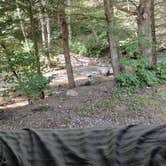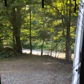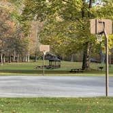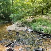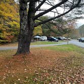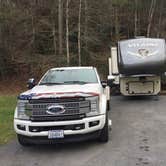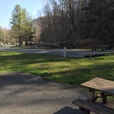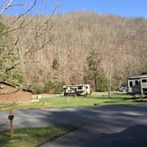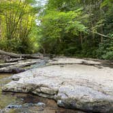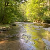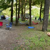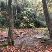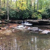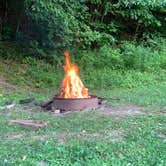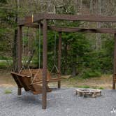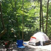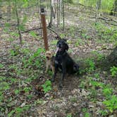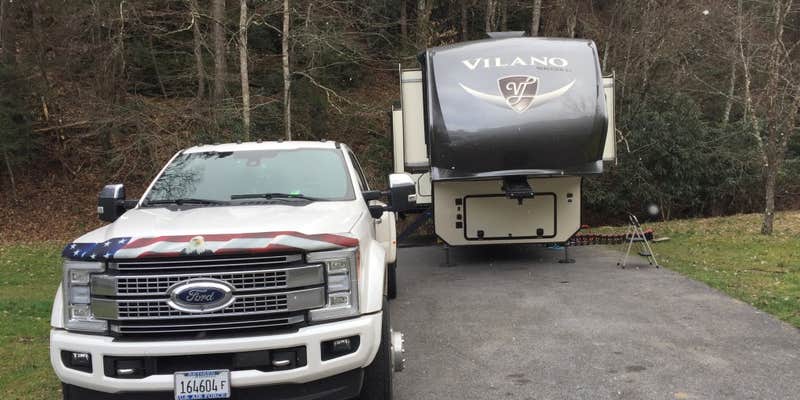
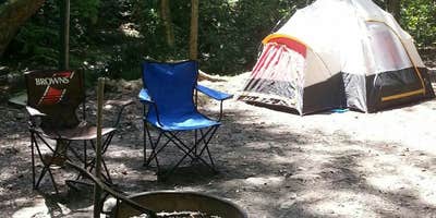
Two miles off Interstate 77 at exit 20 in Mercer County, Mash Fork Campground sits within a forested valley where Camp Creek runs alongside the sites. The campground is small, around 18 paved sites, and the layout divides naturally into two zones: creek-side sites with 30-amp and water hookups that can accommodate RVs up to 35 feet, and interior sites with full hookups that handle larger rigs. One reviewer noted that site 26 gives big-rig campers both full hookups and a partial creek view, which makes it among the more requested spots. The Blue Jay Campground — Camp Creek State Park on the opposite side of the park handles tent-only camping, while horse campers have dedicated facilities at the Double C Horse and Rider Campground — Camp Creek State Park.
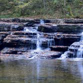
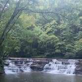
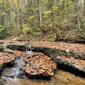
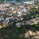
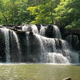
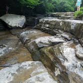
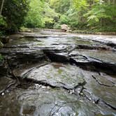
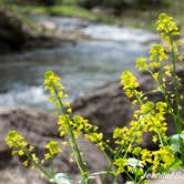
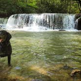
Creek access is a consistent draw. Several sites back directly up to the water, and Camp Creek is stocked with trout in spring, drawing anglers to the banks throughout that season. As MickandKarla W. put it, "trout fishing was very popular though I didn't catch any." Mash Fork Falls is reachable by a flat road from the campground, and a second waterfall, Campbell Creek Falls, has a swimming hole at its base. Over 33 miles of trails extend through the surrounding state forest, ranging from flat and ADA-accessible routes to a steep climb up the ridge behind the campground.
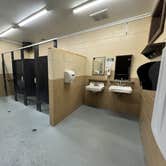
The bathhouse draws consistent praise for cleanliness and hot water. Showers provide reliable pressure and temperature control, with hooks and shelves inside the stalls. A small camp store within the loop sells firewood, ice, and basic supplies, and staff deliver firewood directly to sites. Coin-operated laundry is available in the bathhouse. WiFi is included but works inconsistently, and cell coverage is limited, with Verizon users reporting little to no signal.
A few practical notes matter for trip planning. Water pressure at hookup sites runs low, around 25 psi, so a pressure regulator is worth bringing. The outer loop sites have more tree cover than the interior, so campers who want shade should request those spots. Off-season visitors should call ahead rather than rely on the park website, which has at times reflected outdated information about which facilities are open. Reservations are available and worth booking in advance, especially for sites along the creek.
Description
Camp Creek WV State Park and Forest is known for beautiful waterfalls and great camping. With nearly 6,000 acres of lush forest, 35 miles of trails and seven miles of seasonally stocked trout streams, there is something for every hiker, biker, horseback rider and angler to explore and enjoy. Located in Mercer County, two miles off Exit 20 on I-77, Camp Creek is ideal for family vacations and stop-overs during a long drive through the beautiful mountains of southern West Virginia.
RV Road Trip Guides

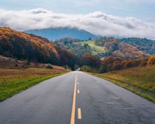
Map & DirectionsMash Fork Campground is located in West Virginia near Camp Creek
 Public Campground
Address
2390 Camp Creek Road
Camp Creek, WV 25820
Coordinates
37.5024559 N
81.13698617 W
Connectivity
 T-MobileLTESome Coverage
- VerizonLTESome CoverageVerified by 2 usersLast on 4/20/26
- AT&TLTESome Coverage
Connectivity
- T-MobileLTESome Coverage
- VerizonLTESome CoverageVerified by 2 usersLast on 4/20/26
- AT&TLTESome Coverage
Access
- Drive-InPark next to your site
- Walk-InPark in a lot, walk to your site.
- Hike-InBackcountry sites.
Site Types
- Tent Sites
- RV Sites
- Standard (Tent/RV)
- Group
- Cabins
- Equestrian
Features
For Campers
- Market
- ADA Access
- Trash
- Picnic Table
- Firewood Available
- Phone Service
- Reservable
- WiFi
- Showers
- Drinking Water
- Electric Hookups
- Toilets
- Pets
- Fires
For Vehicles
- Sanitary Dump
- Sewer Hookups
- Water Hookups
- Pull-Through Sites
- 50 Amp Hookups
- Big Rig Friendly