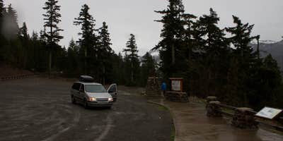
This US Forest Service campground operates seasonally from mid-May through Labor Day, offering nine sites accessible by a steep, narrow forest road that challenges larger RVs. The drive requires careful navigation, as Danielle C. notes her 19-foot campervan "made it up and down but a car did need to pull off to the side for us and back up a ways for us to squeeze by."
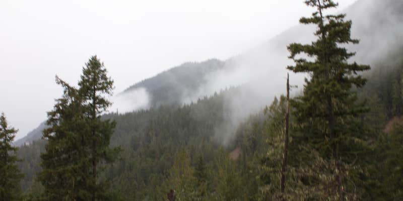
Dungeness Forks sits at the confluence of two rivers in Olympic National Forest, providing direct water access from several sites. Each campsite includes a fire ring, picnic table, and space for one vehicle, with vault toilets available but no potable water or trash collection. The forested setting features towering conifers, and campers report spotting wild salmon in the adjacent waters during fishing season. Sites along the riverbank fill quickly, particularly on weekends when the small campground reaches capacity by early afternoon.
The location serves as a launching point for day hikes throughout the valley, with multiple trailheads accessible by vehicle from the campground. Campers can also explore directly from their sites, as the rivers provide opportunities for fishing and the surrounding forest offers berry picking in season. For those seeking additional options in the region, there are campsites near Olympic National Forest throughout the area.
No pets are allowed, and alcohol is permitted. Arrive early or consider weekday visits to secure one of the limited riverside spots.
Description
Campground is located at the fork of the Dungeness and Graywolf Rivers and is a shaded, forested area with evergreen conifers.There are 10 campsites that will accommodate tents. Trailers and motorhomes are not recommended due to steep one lane unpaved road access.
RV Road Trip Guides

Map & DirectionsDungeness Forks Campground is located in Washington near Sequim
Directions
From Quilcene, WA travel north on US Highway 101 north to Sequim Bay State Park. Turn left across from State Park on Louella Road. Drive 1 mile to Palo Alto Road. Turn left and drive 4 miles to Forest Service Road 2880. Then turn right and drive 1 mile to the campground.
Coordinates
47.974581 N
123.110916 W
Connectivity
 T-MobileNo Coverage
- VerizonNo Coverage
- AT&TNo Coverage
Connectivity
- T-MobileNo Coverage
- VerizonNo Coverage
- AT&TNo Coverage
Access
- Drive-InPark next to your site
- Walk-InPark in a lot, walk to your site.
Site Types
- Tent Sites
- Standard (Tent/RV)
Features
For Campers
- Toilets
- Alcohol
Drive Time
- 1 hr 39 min from Bremerton, WA
- 2 hrs from Seattle, WA
- 2 hrs 8 min from Mount Vernon, WA
- 2 hrs 25 min from Bellingham, WA


