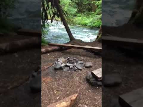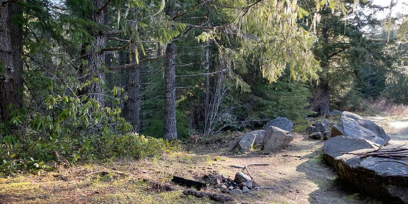
This free US Forest Service campground sits at the Deer Ridge Trailhead, accessed via rough logging roads through Olympic National Forest. The site functions primarily as a backcountry trailhead with about five established camping spots featuring rock fire pits. Campers can set up under the forest canopy on mossy ground or near the creek that runs through the northwest corner of the area.
The location offers car camping and walk-in options, with a large gravel parking area and additional dispersed sites accessible via small loop roads. One camper noted complete solitude on a Thursday night, while another described the spot as quiet enough for overnight stays even without hiking plans. For those exploring beyond this remote location, campsites near Olympic National Forest provide additional options in the surrounding region.
Description
A three unit rustic camping area is adjacent to the parking area.
Provides access to:
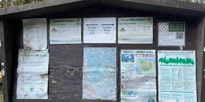
Slab Camp Trail #838 - This forested trail descends 3.1 miles to the canyon floor and Gray Wolf River and 5.8 miles to the park boundary via Upper Gray Wolf Trail #834. Slab Camp Trail now serves as the main access to Upper Gray Wolf Trail.
Deer Ridge Trail #846 - This trail is 5.2 miles long and travels through conifer forest with views of the Olympic Peaks at higher elevations. The trail enters Olympic National Park at 3.6 miles and ends at Deer Park.
Deer Ridge and Slab Camp Trails access Buckhorn Wilderness and Olympic National Park.
Reservation Info
Permits are required for all overnight trips into the Olympic National Park backcountry.
RV Road Trip Guides

Map & DirectionsSlab Camp/Deer Ridge Trailhead is located in Washington near Carlsborg
Directions
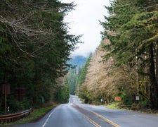
From Sequim, WA go approximately 2.5 miles west of Sequim on US Highway 101. Turn left on Taylor Cutoff Road just after crossing the Dungeness River. Follow Taylor Cutoff Road to Lost Mountain Road. Follow Lost Mountain Road for 2.6 miles. Take a slight left onto Slab Camp Road and follow for .9 miles. Turn right onto NF-2875. The trailhead is located at the end of NF-2875 after 3.6 miles, and will be at the junction of NF-2878 and NF-2875.
Coordinates
47.96511264 N
123.19327418 W
Connectivity
 T-MobileNo Coverage
- VerizonNo Coverage
- AT&TNo Coverage
Connectivity
- T-MobileNo Coverage
- VerizonNo Coverage
- AT&TNo Coverage
Access
- Drive-InPark next to your site
- Walk-InPark in a lot, walk to your site.
Site Types
- Tent Sites
Features
For Campers
- Alcohol
- Pets
- Fires
FREE established camping
Enjoy camping on government land. Limited or no services at this camping area.
PERMIT might be REQUIRED
We curate permit requirements across the US for our PRO members. Try PRO to see if Slab Camp/Deer Ridge Trailhead needs a permit.
Drive Time
- 1 hr 41 min from Bremerton, WA
- 2 hrs 2 min from Seattle, WA
- 2 hrs 32 min from Mount Vernon, WA
- 2 hrs 50 min from Bellingham, WA