Public Campground
Notch Peak Trailhead
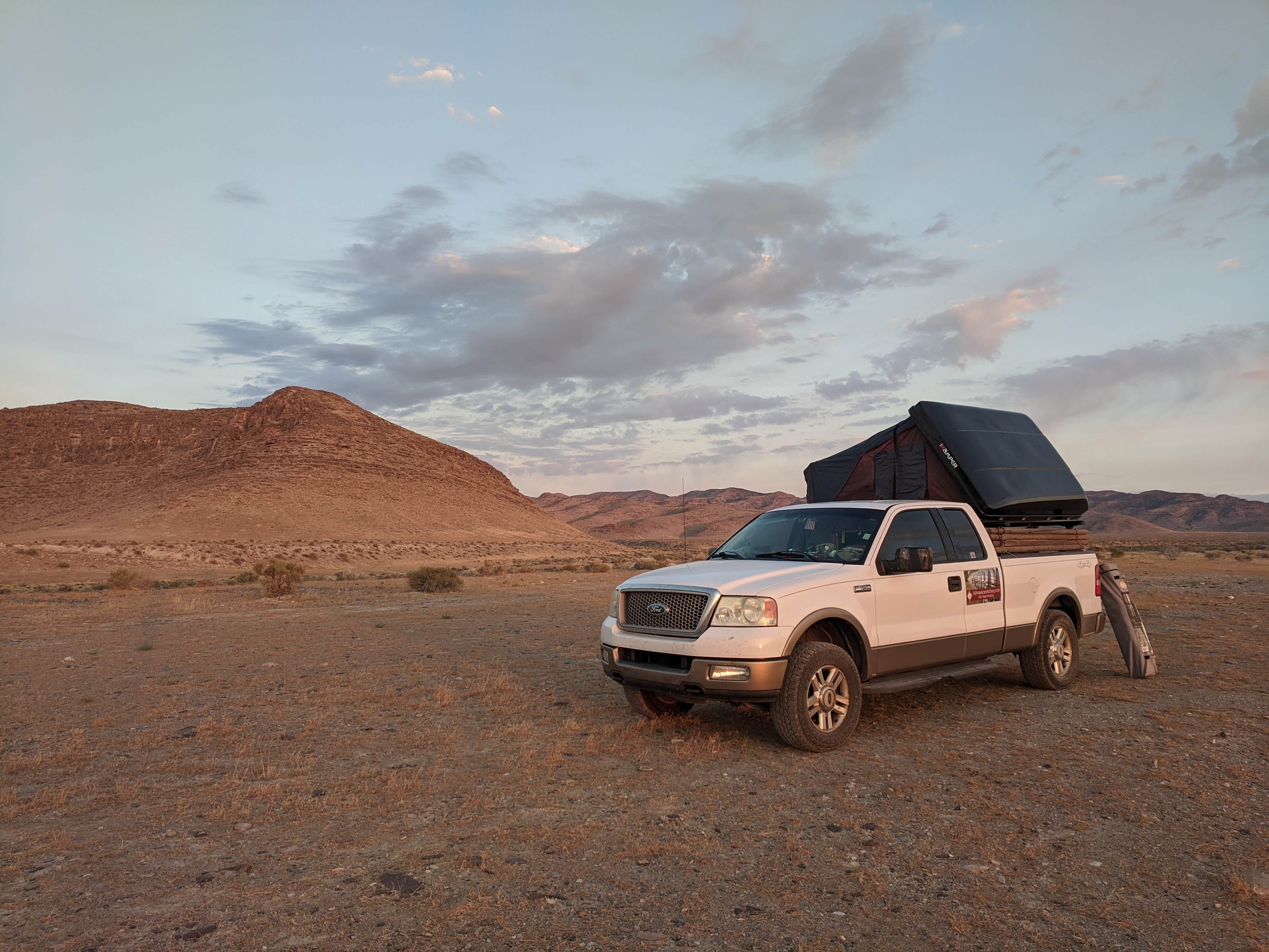
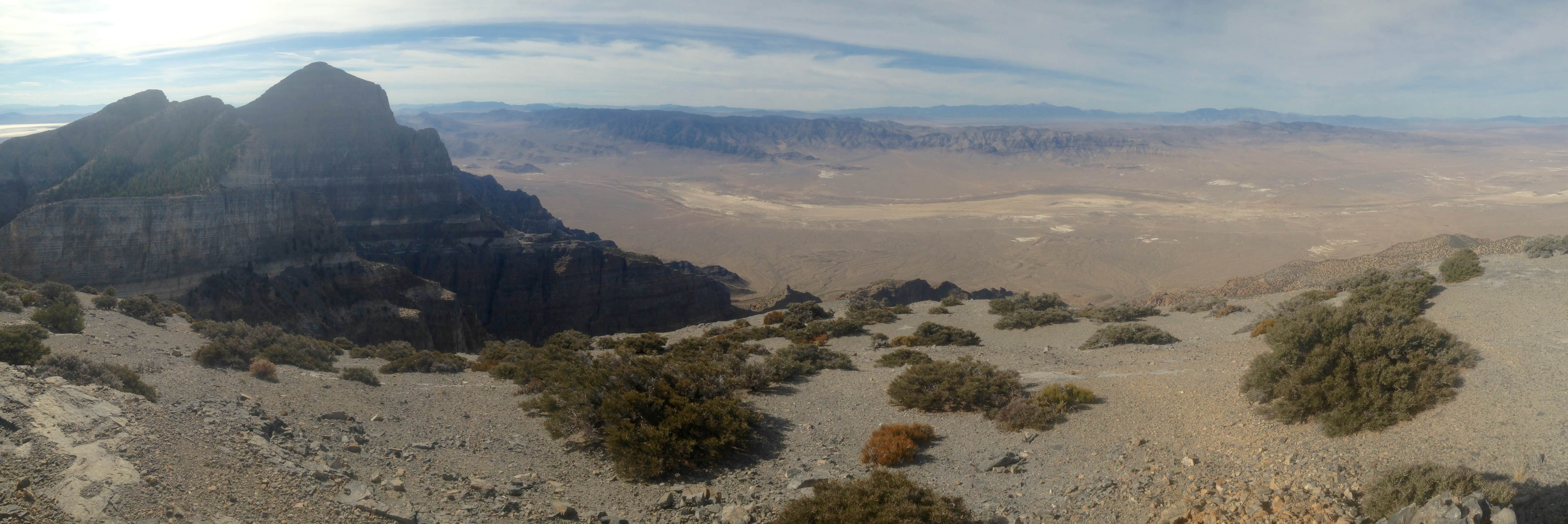
Notch Peak Trailhead in Utah offers a camping experience surrounded by rugged terrain with rocky landscapes. Temperatures can range from highs in the 80s during summer to lows in the 20s in winter. Nearby, campers can explore the scenic Notch Peak, known for its impressive cliffs and hiking opportunities.
Description
Notch Peak can be found in the House Range Complex in Utah's West Desert. Managed by the BLM Fillmore Field Office, it is enjoyed for its hiking, camping and wildlife viewing.
Location
Notch Peak Trailhead is located in Utah
Directions
From Delta, Utah, take Highway 6 (aka Highway 50) west 40 miles. From here you turn north (right) on to The Notch Peak Loop Road (unpaved) just before the road rounds the southern tip of the range, just before mileage marker 46. Drive 4 miles north to the signed Miller Canyon Road, and then turn left. Drive another 5 miles to a sign that points left to Sawtooth Canyon. A short ways later you will encounter a log cabin on the north side of the road and a stone road block. Continue on up the canyon dirt road by foot from here, and it eventually turns into a trail.
Coordinates
39.12935938 N
113.35231028 W
Connectivity
- T-MobileNo Coverage
- VerizonNo Coverage
- AT&TLTESome Coverage
Connectivity
- T-MobileNo Coverage
- VerizonNo Coverage
- AT&TLTESome Coverage
Access
- Drive-InPark next to your site
Site Types
- Tent Sites
Features
For Campers
- Alcohol
- Fires
Drive Time
- 2 hrs 37 min from Provo, UT
- 3 hrs 7 min from Salt Lake City, UT
- 3 hrs 35 min from St. George, UT
- 3 hrs 35 min from Ogden, UT


