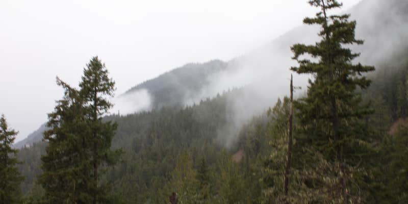
Dungeness Forks Campground, near Sequim, Washington, is a fantastic choice for those seeking a serene escape surrounded by nature. With spacious sites nestled next to two beautiful rivers, it’s a prime location for camping enthusiasts who appreciate a bit of privacy and the soothing sounds of flowing water.
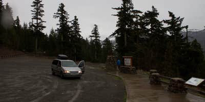
This campground offers basic amenities like restrooms and fire pits, making it a comfortable spot for tent and RV camping. Visitors have noted that the sites fill up quickly, especially on weekends, so arriving early is key. As one camper shared, “Lovely big spots with good dispersed facilities,” highlighting the spaciousness and natural beauty of the area.
For outdoor adventurers, Dungeness Forks is a gateway to numerous hiking trails throughout Olympic National Forest. Many campers enjoy exploring the nearby trails or simply relaxing by the river, with some sites offering stunning views. The campground is also a great base for fishing, with wild salmon often spotted in the waters nearby.
While the campground has a no-alcohol policy, it’s perfect for those looking for a peaceful retreat away from the hustle and bustle. Just remember to pack out what you pack in, as there’s no trash collection on-site. Whether you’re planning a weekend getaway or a longer stay, Dungeness Forks Campground promises a refreshing outdoor experience.
Description
Campground is located at the fork of the Dungeness and Graywolf Rivers and is a shaded, forested area with evergreen conifers.There are 10 campsites that will accommodate tents. Trailers and motorhomes are not recommended due to steep one lane unpaved road access.
RV Road Trip Guides

Map & DirectionsDungeness Forks Campground is located in Washington near Sequim
Directions
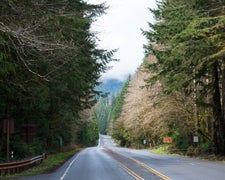
From Quilcene, WA travel north on US Highway 101 north to Sequim Bay State Park. Turn left across from State Park on Louella Road. Drive 1 mile to Palo Alto Road. Turn left and drive 4 miles to Forest Service Road 2880. Then turn right and drive 1 mile to the campground.
Coordinates
47.974581 N
123.110916 W
Connectivity
 T-MobileNo Coverage
- VerizonNo Coverage
- AT&TNo Coverage
Connectivity
- T-MobileNo Coverage
- VerizonNo Coverage
- AT&TNo Coverage
Access
- Drive-InPark next to your site
- Walk-InPark in a lot, walk to your site.
Site Types
- Tent Sites
- Standard (Tent/RV)
Features
For Campers
- Toilets
- Alcohol
Drive Time
- 1 hr 39 min from Bremerton, WA
- 2 hrs from Seattle, WA
- 2 hrs 8 min from Mount Vernon, WA
- 2 hrs 25 min from Bellingham, WA


