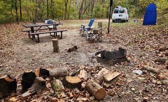
Dispersed camping sites near Pottersville, Missouri provide primitive overnight options throughout Mark Twain National Forest and along several waterways. Located in south-central Missouri at approximately 1,200 feet elevation, this Ozark region experiences hot, humid summers and mild winters with occasional freezing temperatures. Most sites require visitors to navigate gravel forest roads that become rutted after rainfall.
What to do
Fishing opportunities: McCormack Lake Recreation Area provides access to a stocked lake where anglers can catch various species. "A really nice place to go hang out," notes one visitor, highlighting the fishing-friendly environment.
River recreation: Cane Bluff River Access offers swimming and water activities with natural features for adventurous visitors. "Has a big rock pad with a rope swing and a great place to dive in," according to one camper who rated the area highly.
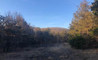
Wilderness hiking: Matney Knob offers trails through forested terrain with minimal development. The area features "decent road to camp off of accessed via the Matney Knob TH," according to a visitor who used this as a base for exploration.
What campers like
Solitude: Hercules Glades (Watch Tower) provides quiet camping away from crowds. "It was a beautiful, quiet area," notes one camper who appreciated the peaceful environment at the trailhead.
Swimming holes: The waterways near free camping spots in Pottersville offer natural swimming areas. At Hercules-Glades Wilderness Area, one visitor mentioned, "The falls are a great rock feature when it's dry and beautiful when they're flowing."
Wildlife viewing: Blue Spring Backcountry Camping within Ozark National Scenic Riverway offers chances to observe local wildlife. "You'll see some bats too," mentions a visitor who appreciated the natural pest control these animals provided.
What you should know
Weather impacts: Summer heat can be extreme, making water access important. One Blue Spring camper reported, "This was the hottest campground I have ever been in my life. It was 109 and extremely humid."
Changing site status: Sycamore Loop Dispersed and similar areas have undergone management changes. "Pretty much all the campsites listed in this area have been turned into day use only/No camping here spots," warns a recent visitor.
Navigation challenges: Forest roads leading to free camping near Pottersville require preparation. "Make sure you get a paper map because phone signal can be iffy," advises one Blue Spring camper who found cell service unreliable.
Reservation requirements: Some previously free sites now require payment. At Blue Spring, "To reserve for $10 per night you have to leave your things at the site and drive down to find the QR code by the bathrooms and book the site."
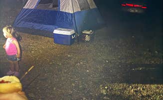
Tips for camping with families
Water safety precautions: Cold springs require extra attention when camping with children. At Blue Spring, one visitor noted, "Blue Spring is beautiful and cold! Aside from the over zealous teenagers jumping into the spring it was a nice visit."
Wildlife education opportunities: Noblett Lake Dispersed Camping provides chances to observe forest creatures. "It was fun to let the dogs run," mentioned one visitor who found the isolated location perfect for animal watching.