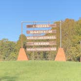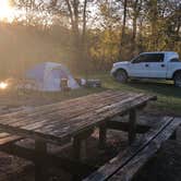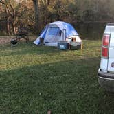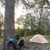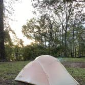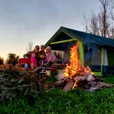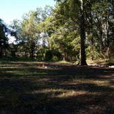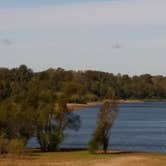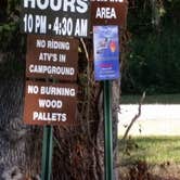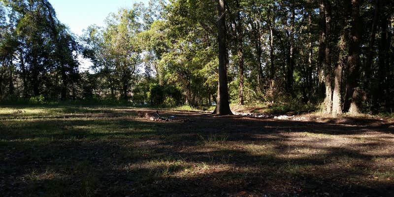
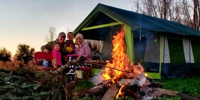
Managed by the U.S. Fish and Wildlife Service, Richard K. Yancy Sand Levee Campground sits within a wildlife management area outside Lettsworth and draws hunters and anglers more than general recreational campers. There are no marked sites, but previous campers have worn obvious areas into the ground, and the terrain mixes forested cover with open stretches along the river. Camping is free, and both pets and campfires are permitted.
Water access is the most consistent draw here. Fishing is close by, and one reviewer noted potable water on site for cleaning equipment, though another found only a nearby creek requiring filtration, so conditions may vary by season. No drinking water should be assumed without confirming current conditions first. Mosquitoes were described as severe by at least one visitor, particularly in fall. Wildlife is active: raccoons, possums, and armadillos have all made camp appearances.
Noise is worth factoring into any trip plan. "Was quiet except for the rifle range but knew that coming in," notes Tyler H., and vehicle traffic from trucks, tractors, and boats has been reported at all hours. Trash left by previous visitors has been an issue. Cell service is listed as available. A hiking trail sits roughly 1.3 miles down the road across the river, adding a secondary option beyond hunting and fishing.
Campers wanting full hookups or a more developed setting might consider Riverview RV Resort to the southwest, or Tunica Hills WMA Campground to the east for another managed public land option.
Description
Camping: LDWF maintains five primitive camping areas on Richard K. Yancey WMA. There are all-weather access roads as well as a source of potable water at the Shell Road camping area. Richard K. Yancey WMA lies between the Mississippi and Red rivers, beginning north of Lower Old River. The WMA’s terrain is typically flat to depressed; the only significant changes in relief are elevated roads, levees, and a large manmade sand ridge. Numerous small lakes and bayous are formed by the area’s relatively poor drainage pattern. A large portion of the land is subject to annual spring flooding by the Red and Mississippi rivers. Timber on the property consists of mixed bottomland hardwoods. The primary overstory species are bitter and sweet pecan, overcup and nuttall oak, bald cypress, honey locust, hackberry, sycamore, and green ash. There are almost pure stands of cottonwood and willow along the manmade sand ridge. LDWF has planted approximately 265,000 hardwood seedlings on about 800 acres of former agricultural lands and annually maintains abandoned oil well sites and rights-of-way as wildlife openings.
Map & DirectionsRichard K. Yancy Sand Levee Campground is located in Louisiana near Lettsworth
 Public Campground
Directions
Richard K. Yancey WMA is located about 35 miles south of Ferriday on LA Hwy 15. LA Hwy 15 and 910 and a gravel levee provide all-weather access to the WMA. Gravel roads and numerous woods roads traverse the interior. You can also access the WMA by boat along the Red River and the numerous bayous that flow through the area.
Coordinates
31.0020005 N
91.65900028 W
Connectivity
 T-MobileNo Coverage
- VerizonNo Coverage
 AT&TLTESome Coverage
Connectivity
- T-MobileNo Coverage
- VerizonNo Coverage
- AT&TLTESome Coverage
Access
- Drive-InPark next to your site
- Walk-InPark in a lot, walk to your site.
Site Types
- Tent Sites
- Standard (Tent/RV)
- Group
Features
For Campers
- ADA Access
- Phone Service
- Alcohol
- Pets
- Fires
FREE established camping
Enjoy camping on government land. Limited or no services at this camping area.
PERMIT might be REQUIRED
We curate permit requirements across the US for our PRO members. Try PRO to see if Richard K. Yancy Sand Levee Campground needs a permit.
Drive Time
- 1 hr 11 min from Baton Rouge, LA
- 1 hr 12 min from Alexandria, LA
- 1 hr 25 min from Lafayette, LA
- 1 hr 45 min from Hammond, LA