Public Campground
Tunica Hills WMA Campground
Tunica Hills WMA Campground is located near rolling hills and dense forests in Louisiana. The area experiences temperatures ranging from the 40s in winter to the 90s in summer. Nearby, visitors can explore the Clark Creek Natural Area, known for its scenic waterfalls and hiking trails.
Description
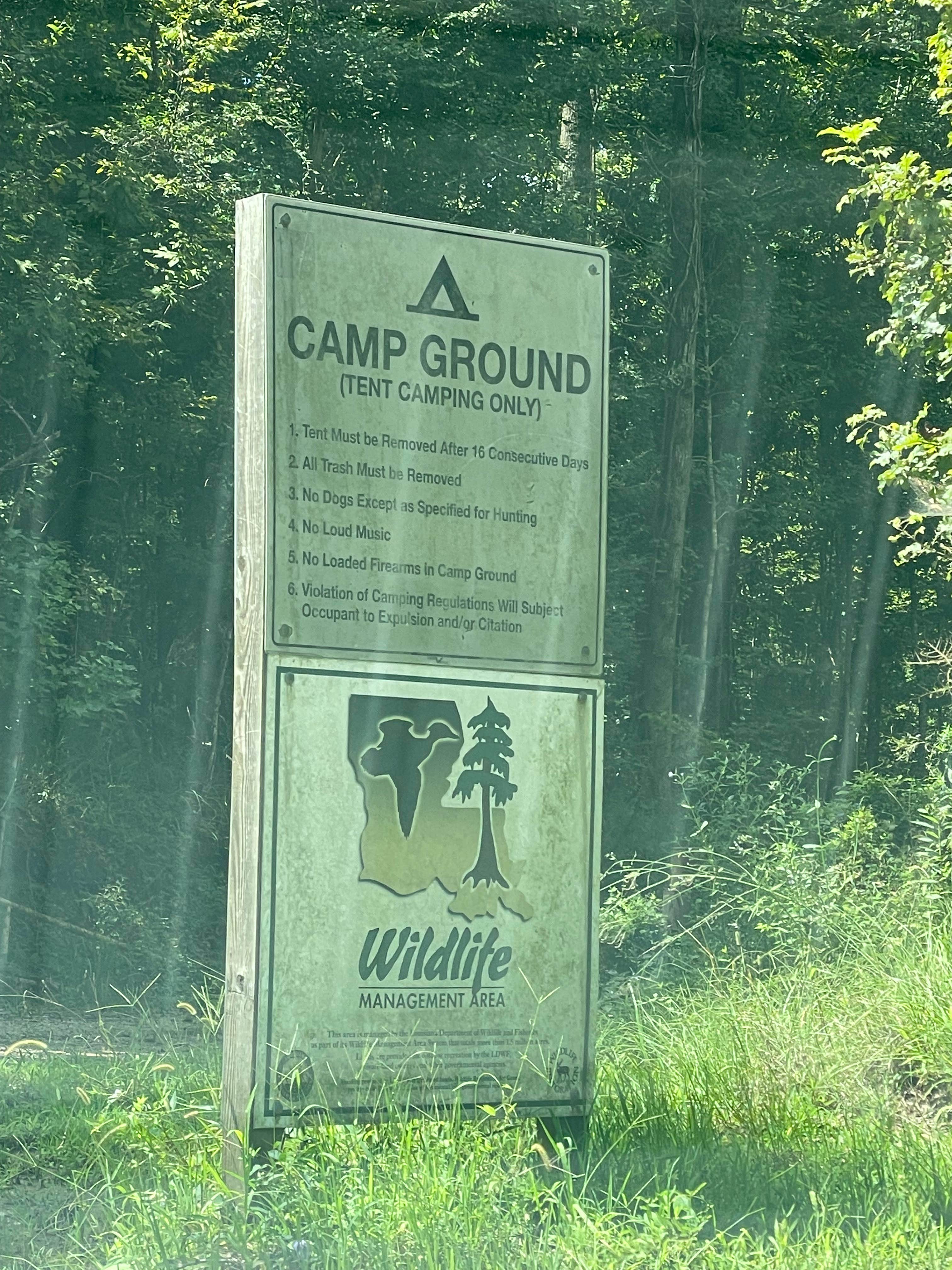
There is a tent-only, primitive camping area off of Parker Road on the South Tract.
Tunica Hills WMA is composed of two separate tracts. The North Tract (2,346 acres) is immediately adjacent to the Louisiana State Penitentiary. The South Tract (4,156 acres) is off Old Tunica Road, which is part of the scenic Natchez Trace System and has been used for travel since colonial times.
The WMA’s terrain is characterized by rugged hills, bluffs, and ravines. The area lies at the southern end of the “loess blufflands” escarpment that follows the east bank of the Mississippi River south from its confluence with the Ohio River. These blufflands offer a diverse and unique habitat that supports some species of plants and animals not found elsewhere in Louisiana.
The forest on the area is classified as upland hardwood, with some loblolly pine and eastern red cedar mixed in on the ridge tops and creek terraces. Hardwoods include American beech; American holly; flowering magnolia; cherrybark, water, and cow oak; hickory; sweetgum; Osage orange; hackberry; eastern hophornbeam; ironwood; yellow poplar; elm; and maple. The understory varies from dense in younger areas of timber to fairly open in older areas. Common understory species are oak leaf hydrangea, two-winged silverbell, trifoliate orange, pawpaw, flowering dogwood, sweetleaf, spicebush, blackberry, and switchcane. At least 20 species of plants classified as rare in Louisiana are found on this area; two of these species have not been found anywhere else in the state.
Location
Tunica Hills WMA Campground is located in Louisiana
Directions
Tunica Hills WMA is northwest of St. Francisville. Access the North Tract from Farrah Davis Road off LA Hwy 66, approximately 14.3 miles west of U.S. Hwy 61. While you can access the South Tract from a few different points, the best way to go is by driving 17.3 miles west on LA Hwy 66 from U.S. Hwy 61 to Old Tunica Road. Continue on Old Tunica Road for about 1 mile to enter the WMA. A series of trails provide interior access to both tracts.
Coordinates
30.96685970909614 N
91.50081560189483 W
Connectivity
- T-Mobile5GExcellent CoverageVerified by 2 usersLast on 2/4/26
- VerizonLTESome Coverage
- AT&T5GExcellent Coverage
Connectivity
- T-Mobile5GExcellent CoverageVerified by 2 usersLast on 2/4/26
- VerizonLTESome Coverage
- AT&T5GExcellent Coverage
Access
- Drive-InPark next to your site
- Walk-InPark in a lot, walk to your site.
Site Types
- Tent Sites
Features
For Campers
- Toilets
- Alcohol
- Fires
Drive Time
- 47 min from Baton Rouge, LA
- 1 hr 22 min from Hammond, LA
- 1 hr 39 min from Lafayette, LA
- 2 hrs 5 min from Alexandria, LA


