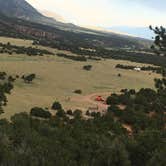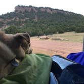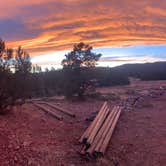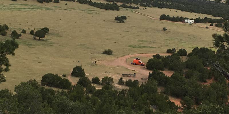
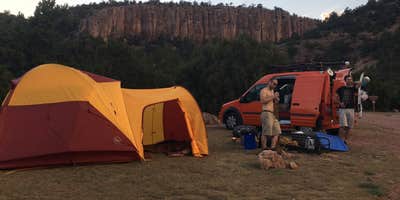
Managed by the Bureau of Land Management within the Royal Gorge Field Office, Shelf Road Sites sits near a creek and serves as a direct base for climbing at Shelf Road. Vault toilets are on-site and reported clean, with fire rings and picnic tables at campsites. Cell coverage runs 1-2 bars on AT&T and 2-3 bars on Verizon. The access road is rough. Campers who climb at BLM Shelf Road Banks and Sand Gulch Campgrounds and surrounding areas consistently find this a functional overnight stop with campgrounds around Victor as a regional reference point for trip planning.
Description
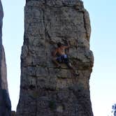
Shelf Road is home to many quality sport routes, vertical limestone. A sport climber's mecca with nearly 1000 routes on bombproof pocketed limestone. Routes vary from 5.7- 5.13 mostly bolted routes. There are two camping locations at Shelf Road. The lower area, Sand Gulch has 14 campsites and 1 group camping site. The upper area at The Banks has 11 campsites and 1 group camping site. Just before you arrive at Shelf Road, you will pass Sand Gulch campground on your left. This is quality, spacious camping and access to the Sand Gulch area, home to many moderates about a 15 minute walk from the campground. There is day use parking at the northwest end of the campground, and overflow parking at the north end, where the Free form trail begins. Shelf Road also has ample-sized trailhead parking for equestrians with corrals. Adventurous anglers can hike to Fourmile creek for fishing. Hiking and hunting are popular in the area as well as a short drive on a 4X4 loop. For more information, please contact the Royal Gorge Field Office. ACTIVITIES Climbing Camping
Fee Info
Individual Campsites: $7/Night (Accommodates 8-10 People). Group Campsites: $14/ Night (Accommodates up to 20 People).
RV Road Trip Guides


Map & DirectionsShelf Road Sites is located in Colorado near Victor
 Public Campground
Directions
From I-25 to Colorado Springs, take the exit for Cañon City Travel SW on CO 115 to US Hwy 50, then west about 10 miles to Cañon City. From Hwy 50 in Cañon City, you can turn north at the Steinmeier traffic light (at Wal-Mart) or head North on Raynolds. Travel north on either road as both will curve to the left and intersect Field Avenue. Turn north (right) on Field and travel on this two-lane road for about five miles. It will join Fremont County Road 9 (also called Red Canyon Road) at a "Y" intersection. From here, continue north for 9.4 miles. You will see two roads on the left before the road you are traveling on turns to dirt. Both roads provide access to day-use and rock climbing sites. The first left is Sand Gulch area and the second left takes you to the Banks Campground and parking for day use. For the Banks area, travel by a corral and trailer parking and continue on the steep windy dirt road for approximately 1.25 miles. The campground will be on your right. TRAILERS NOT ADVISED on the Banks road.
Coordinates
38.62438037 N
105.22499036 W
Connectivity
 T-MobileLTESome CoverageVerified by 7 usersLast on 10/1/26
- VerizonLTESome CoverageVerified by 3 usersLast on 10/1/26
 AT&TNo CoverageVerified by 7 usersLast on 10/1/26
Connectivity
- T-MobileLTESome CoverageVerified by 7 usersLast on 10/1/26
- VerizonLTESome CoverageVerified by 3 usersLast on 10/1/26
- AT&TNo CoverageVerified by 7 usersLast on 10/1/26
Access
- Drive-InPark next to your site
- Walk-InPark in a lot, walk to your site.
Site Types
- Tent Sites
- Standard (Tent/RV)
- Group
Features
For Campers
- Picnic Table
- Phone Service
- Toilets
- Pets
- Fires
For Vehicles
- Pull-Through Sites
- Big Rig Friendly
Drive Time
- 1 hr 4 min from Pueblo, CO
- 1 hr 25 min from Colorado Springs, CO
- 2 hrs 17 min from Denver, CO
- 2 hrs 40 min from Boulder, CO