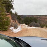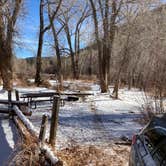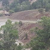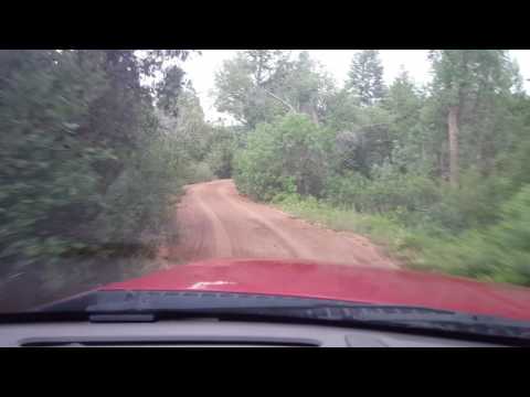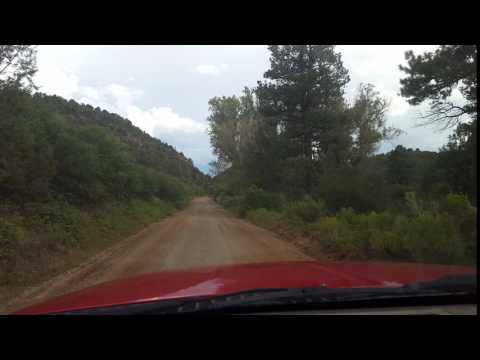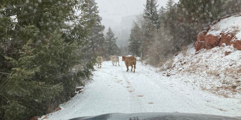
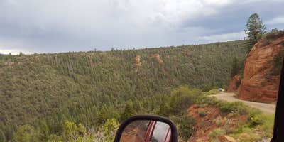
Getting to Big Dominguez Campground requires commitment. The roughly 25-mile drive from the Highway 141 turnoff follows winding gravel and dirt roads that narrow to single-lane width in places, with sections that wash out and cliff-side drop-offs that can unsettle passengers. Four-wheel drive is strongly recommended, and multiple reviewers note the road becomes genuinely hazardous when wet.
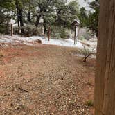
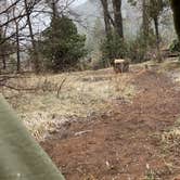
The campground sits on BLM land within the campgrounds around BLM Land — Grand Junction Field Office and operates as dispersed camping year-round. Sites have picnic tables and vault toilets on-site. Stream water runs directly behind the campsites, and a water crossing marks the entry point to the lower portion of the campground, where additional sites require four-wheel drive to reach. Cell service is essentially nonexistent here.
Visitors who make it in tend to have the place to themselves. Quietness comes up repeatedly across reviews, and the surrounding canyon terrain gives access to hiking through Little Dominguez Canyon into Big Dominguez Canyon. Alex T. notes "stream water right behind the sites," and ATV use on nearby trails has been observed occasionally. Nearby dispersed options include Divide Rd Dispersed Camping to the north and Divide Forks Campground to the southwest.
Campers who arrive prepared for rough road conditions and self-sufficient camping will find this canyon location rewards the effort.
RV Road Trip Guides


Map & DirectionsBig Dominguez Campground is located in Colorado near Whitewater
 Dispersed Camping
Directions
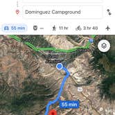
From Whitewater (Jct. US 50 & CO 141), drive about 15 miles south on CO 141 to CR 26.10. A sign at the junction reads “National Forest Access. Divide Road. Uncompahgre National Forest”. Turn left onto CR 26.10 and proceed south about 6 miles to the junction of CR 26.10 and CR 24.40. Watch for the Dominguez-Escalante National Conservation Area signs. Follow CR 24.40 about 5 miles to the campground. From Montrose to the US 50/CO 141 junction is about 52 miles northwest. Total distance about 63 miles. From Grand Junction, the US50/CO141 junction is about 8 miles east on US50. Caution: CR 24.40 is extremely hazardous in wet conditions. Watch for rockslides on the last 2 miles of road.
Coordinates
38.74417582 N
108.54960928 W
Connectivity
 T-MobileNo Coverage
- VerizonNo Coverage
- AT&TNo Coverage
Connectivity
- T-MobileNo Coverage
- VerizonNo Coverage
- AT&TNo Coverage
Access
- Walk-InPark in a lot, walk to your site.
Site Types
- Tent Sites
- Standard (Tent/RV)
- Equestrian
Features
For Campers
- Picnic Table
- Toilets
- Alcohol
- Pets
- Fires
DISPERSED CAMPING
Enjoy dispersed camping on government land and leave no trace. Pack in and pack out. No (or limited) services at this camping area. Permit may be required.
Drive Time
- 2 hrs 17 min from Grand Junction, CO
- 5 hrs 51 min from Provo, UT
- 6 hrs 1 min from Farmington, NM
- 6 hrs 2 min from Boulder, CO