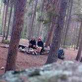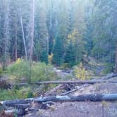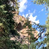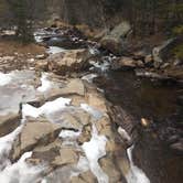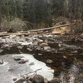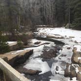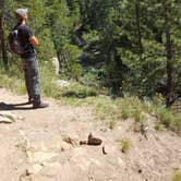
The sound of the St. Vrain creek runs through most every campsite here, which makes sense given the layout: campers park at the trailhead, cross a footbridge, and walk roughly a quarter mile down the trail before reaching the first dispersed sites in Roosevelt National Forest. This is walk-in camping, not drive-up, so everything you need comes in on your back.
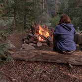
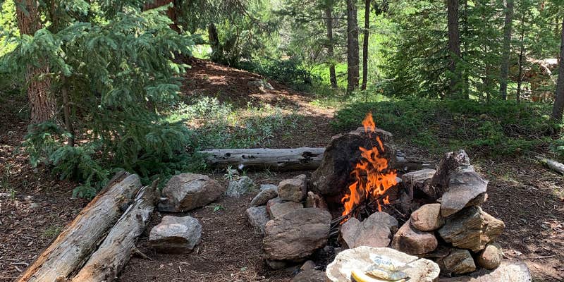
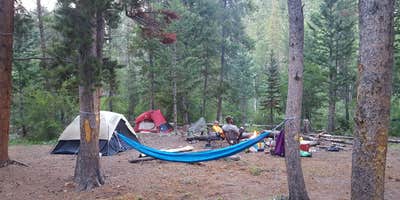
Sites are spread along the creek corridor through forested terrain, with established fire rings and log seating already in place at many spots. Water is accessible directly from the creek, though Hanna K. notes that "water is available if you have a purifier or filter system." Firewood is generally plentiful in the area. The sites closest to the trailhead get morning foot traffic from day hikers; campers who want more separation from the trail can find spots farther into the valley, including some positioned between two branches of the stream. Wildlife is active here. One camper documented a mountain lion encounter and a bear print on their car, both in the same night.
Crowds follow a predictable pattern. Weekends fill the parking lot early, sometimes by 9 a.m. on summer Sundays, while weekdays tend to stay quieter. Fire restrictions apply within a quarter mile of the creek, so check current conditions before building a fire. At $1 per night, this is one of the lower-cost options among campsites near Roosevelt National Forest. Nearby alternatives worth considering include Peak-to-Peak Highway Dispersed -- Roosevelt NF and Roosevelt NF Dispersed near Peaceful Valley (CO 72) if the trailhead lot is already full. Come prepared to share the trail with hikers, stay bear-aware, and bring a water filter.
Description
Dispersed camping is prohibited within ¼ mile of either side of South St. Vrain Creek beginning at the Ceran St. Vrain trailhead and ending ¼ mile from the intersection of South St. Vrain Creek and National Forest System Road 252.1. MAP: https://trails.colorado.gov/trailheads/ceran-2341
The easy Ceran Saint Vrain Trail follows the South Saint Vrain Creek downstream for 1.9 miles. The trail ends at National Forest System Road 252, a rough four-wheel drive road. This road climbs 0.5 miles northwest to a four-way intersection from which it is a steep half-mile to the left up to Miller Rock. Miller Rock is a scenic high-point that offers 360-degree views.
Motorized vehicles prohibited. Dispersed camping is allowed at sites that are least 200 feet away from the trailhead, trail and creek. Campfires are permissible unless seasonal restrictions are in effect (contact district office). Fishing and hunting are allowed in accordance with regulations established by the Colorado Parks & Wildlife.
RV Road Trip Guides


Map & DirectionsCeran St. Vrain Trail Dispersed Camping is located in Colorado near Jamestown
 Dispersed Camping
Coordinates
40.12465160171343 N
105.4419893011309 W
Connectivity
 T-MobileNo Coverage
- VerizonNo CoverageVerified by 1 userLast on 8/28/26
- AT&TNo Coverage
Connectivity
- T-MobileNo Coverage
- VerizonNo CoverageVerified by 1 userLast on 8/28/26
- AT&TNo Coverage
Access
- Walk-InPark in a lot, walk to your site.
- Hike-InBackcountry sites.
Site Types
- Tent Sites
- Dispersed
Features
For Campers
- Alcohol
- Pets
- Fires
DISPERSED CAMPING
Enjoy dispersed camping on government land and leave no trace. Pack in and pack out. No (or limited) services at this camping area. Permit may be required.
PERMIT might be REQUIRED
We curate permit requirements across the US for our PRO members. Try PRO to see if Ceran St. Vrain Trail Dispersed Camping needs a permit.
Drive Time
- 39 min from Boulder, CO
- 1 hr 7 min from Denver, CO
- 1 hr 9 min from Fort Collins, CO
- 1 hr 11 min from Greeley, CO