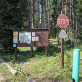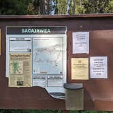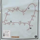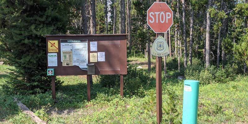
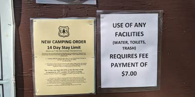
Bridger National Forest's Sacajawea campground sits at 8,300 feet elevation, roughly 23 miles from Big Piney — the last 13 miles on graded gravel. The 24 first-come, first-served sites are mostly small, though a few accommodate trailers and RVs up to 40 feet. Expect no cell signal on any major carrier. Amenities include vault toilets, fire rings, bear boxes, trash bins, and water spigots, though water availability may depend on seasonal testing status. Dispersed camping is also available along the forest road before the campground turnoff, worth noting for those who arrive when sites are full.
Description
The Sacajawea Campground is located on the Middle Piney Road just east of Middle Piney Lake. The campground is in a cool shaded area, surrounded by trees, located on Middle Piney Creek. The campground has toilets, water and trash service, there are sites large enough to accommodate trailers, but has not trailer hookups. A campground host is present typically July 1 - Labor Day. Sacajawea Campground puts visitors in the heart of the Big Piney Ranger District with quick access to the Wyoming Range National Recreation Trail, Middle Piney Lake, North Piney Lake ATV trail and the historic Lander Cutoff of the Oregon Trail.
RV Road Trip Guides
Map & DirectionsSacajawea is located in Wyoming near Smoot
 Public Campground
Directions
From the Town of Big Piney, Wyoming, head west on Wyoming State Highway 350 (WY 350). Continue on WY 350 for approximately 10 miles (at this point WY 350 transitions into County Road 111/ Middle Piney Road). Continue on County Road 111/Middle Piney Road for an additional 10 miles where you will then enter the Bridger-Teton National Forest (the road name changes again to Forest Service Road (FS) 10046). Follow FS 10046 for approximately 2 miles. Veer left at the fork onto FS 10024 heading towards Middle Piney Lake. Follow FS 10024 for approximately 0.75 miles to a second fork and veer left again to stay on FS 10024. Continue down FS 10024 for less than one mile and turn left onto FS 10137 to access Sacajawea Campground. Approximate Travel details from the Town of Big Piney: 24 miles, 39 minutes.
Coordinates
42.61744325 N
110.5336544 W
Connectivity
 T-MobileNo Coverage
- VerizonNo Coverage
- AT&TNo Coverage
Connectivity
- T-MobileNo Coverage
- VerizonNo Coverage
- AT&TNo Coverage
Access
- Drive-InPark next to your site
Site Types
- Tent Sites
- RV Sites
- Standard (Tent/RV)
Features
For Campers
- Trash
- Picnic Table
- Drinking Water
- Toilets
- Alcohol
- Pets
- Fires
For Vehicles
- Pull-Through Sites
Drive Time
- 3 hrs 27 min from Logan, UT
- 3 hrs 37 min from Ogden, UT
- 3 hrs 54 min from Idaho Falls, ID
- 4 hrs 22 min from Pocatello, ID