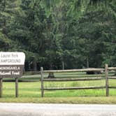

Fishing and hiking draw most visitors to Laurel Fork Campground, where 18.5 miles of trail run alongside the river through Laurel Fork Wilderness in Monongahela National Forest. The stream is stocked with trout in spring and fall, making it a reliable destination for anglers. Getting here requires navigating miles of gravel forest service roads, and the drive alone signals what kind of campground this is: remote, small, and without hookups of any kind.
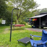
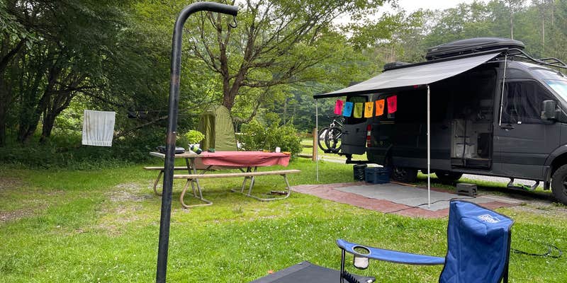
The campground has 14 sites arranged in two small loops, with some positioned directly on the creek. No electricity, no showers, and no running water are available, though two pit toilets are on-site and reviewers consistently note they are kept clean and stocked. Cell service is essentially nonexistent. Bugs can be a significant factor depending on the season, particularly along the heavily vegetated trail corridors, so insect repellent is worth packing. The area is also prone to flooding, and trail sections can become impassable at high water, so checking current conditions before arrival is a practical step.
"Quiet, small and clean," notes Dana M., who stayed three nights and found no shortage of wildflowers and butterflies. Nearby, Spruce Knob Lake Campground and Middle Mountain Cabins offer alternatives for those who want more developed facilities in the same general region. Pets are not permitted at Laurel Fork. Campers who can work within those constraints and don't mind the long gravel approach will find a campground that holds up to repeat visits.
Description
Located along the Laurel Fork River between Laurel Fork North and South Wilderness__areas, this primitive campground offers visitors a nice camping opportunity in the Middle Mountain area on the site of an old Civilian Conservation Corps location.Day hiking and backpacking opportunities are available leaving from this campground as well through the__Laurel Fork North and South Wilderness.
RV Road Trip Guides


Map & DirectionsLaurel Fork Campground is located in West Virginia near Glady
 Public Campground
Directions
From Elkins, WV: Follow Highway 33 east approximately 16 miles to Wymer. Turn south on the Middle Mountain road (Forest Road 14). Travel 11 miles to the junction of Forest Road 423. Take Forest Road 423 east for approximately 1 1/2 miles.
Coordinates
38.74027 N
79.69232 W
Connectivity
 T-MobileNo Coverage
- VerizonNo Coverage
- AT&TNo Coverage
Connectivity
- T-MobileNo Coverage
- VerizonNo Coverage
- AT&TNo Coverage
Access
- Drive-InPark next to your site
- Walk-InPark in a lot, walk to your site.
Site Types
- Tent Sites
- RV Sites
- Group
- Equestrian
Features
For Campers
- Trash
- Toilets
- Alcohol
For Vehicles
- Big Rig Friendly
Drive Time
- 2 hrs 6 min from Harrisonburg, VA
- 2 hrs 10 min from Morgantown, WV
- 2 hrs 51 min from Charlottesville, VA