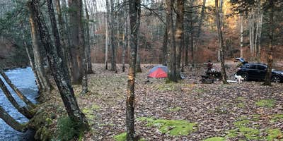
Anglers and creek enthusiasts will find Island Campground positioned alongside flowing water in the Monongahela National Forest. This US Forest Service facility offers 15 sites split between drive-in and walk-in options, with the single drive-in site located directly next to the creek. The campground sits about 7 miles from Durbin along forest roads that can become challenging during wet conditions.
Most sites accommodate tents on coarse gravel surfaces, though several larger spots can handle multiple tents or RVs. Dylane S. notes that site 16 "is the largest and on the best part of the creek," though access requires navigating around large boulders at the entrance. Walk-in sites require carrying gear roughly 60 feet from parking areas, with some positioned up a small incline.
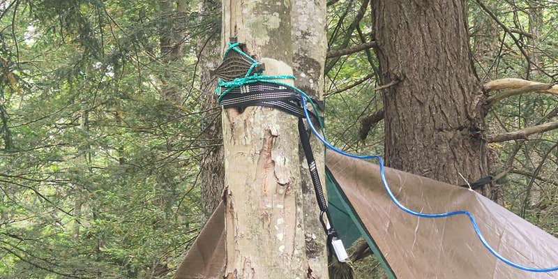
The campground features one vault toilet and trash service, but no potable water source. Creeks flow through the area, providing ambient sound that masks road noise from nearby routes. Fire rings at each site often contain ash from previous visitors. Cell service remains unavailable throughout the campground.
Sites fill slowly during most seasons, with campers frequently having the area to themselves. The location provides access to camping near Monongahela National Forest and serves as a base for fishing the surrounding tributaries. This spot works best for campers comfortable with primitive conditions and stream-based water sources.
Description
This primitive campground is a favorite among fisherman for being adjacent to Long Run and the East Fork of the Greenbrier River.For hikers, this campground is located close to the East Fork Trail #365. This is an 8 mile trail with some difficult terrain to traverse. Also close by is the shorter Smoke Camp Trail #324. It is 1.8 miles in length for those looking for more of a day hike.Island Campground__is located approximately 5 miles north and east of Bartow, West Virginia.
RV Road Trip Guides


Map & DirectionsIsland Campground is located in West Virginia near Durbin
Directions
From Bartow, WV, take US Route 250S for approximately 3 miles. Take a left on Route 28. Campground is on the left after approximately 3 more miles.
Coordinates
38.5790329 N
79.70391153 W
Connectivity
 T-MobileNo Coverage
- VerizonNo Coverage
- AT&TNo Coverage
Connectivity
- T-MobileNo Coverage
- VerizonNo Coverage
- AT&TNo Coverage
Access
- Drive-InPark next to your site
- Walk-InPark in a lot, walk to your site.
Site Types
- Tent Sites
- RV Sites
- Standard (Tent/RV)
- Group
Features
For Campers
- Trash
- Toilets
- Alcohol
For Vehicles
- Sanitary Dump
- Big Rig Friendly
Drive Time
- 1 hr 32 min from Harrisonburg, VA
- 2 hrs 3 min from Charlottesville, VA
- 2 hrs 20 min from Morgantown, WV


