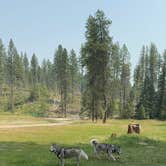
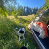
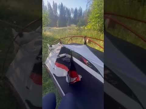
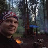
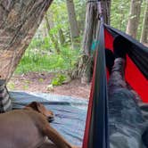
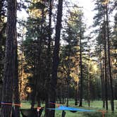
The sound of North Fork Chewelah Creek runs through nearly every campsite here, and that proximity to water is the defining feature of this free dispersed area within Colville National Forest. Sites are spread along the creek and back into the surrounding trees, with several pull-offs offering enough flat, hard-packed dirt for rigs up to 32 feet. No electricity or drinking water is available, and cell service is absent for most carriers, though satellite internet connections have worked for some visitors.
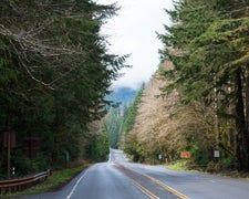
Access follows Sand Canyon Road to the campground entrance, and the road surface is rough enough to warrant attention, particularly for lower-clearance vehicles. Campers note at least ten established fire rings, a vault toilet, and a handful of picnic tables. The creek runs fully shaded by the tree canopy and stays shallow, reaching knee-depth in midsummer, cold enough to feel refreshing on a warm afternoon. Logging trucks use the road during active operations, so expect periodic traffic during daytime hours.
Wildlife sightings are common. Bears, coyotes, wolves, and cougars are known to frequent the area, alongside more routine encounters with birds, squirrels, and wild turkeys. Some reviewers have reported friction with day-use visitors who treat the creek access as exclusive territory, so campers should be prepared for that possibility on busy summer weekends. Dispersed sites extend well beyond the main loop, and as Jeffrey R. notes, there are "a TON of dispersed camping areas within a mile" if the main sites are occupied. Nearby alternatives include Northfork Chewelah Creek and Kaniksu NF Dispersed near Chewelah Mountain. This site works best for self-sufficient campers comfortable with rough road access, no hookups, and variable crowd dynamics on summer weekends.
Description
The stream flows through low wooded mountains joining the South Fork to form Chewelah Creek. This stream flows into the Colville River. In addition to fishing, visitors also hunt, horseback ride and camp along the creek. There are approximately 8 miles of the North Fork located on NFS lands. There are also many tributaries to the North Fork that are fishable. There are dispersed camping sites that exist along the stream at various locations. Washington state fishing license required. See Washington Department of Fish and Wildlife at http://wdfw.wa.gov/ for more information. Quiet hours between 10 p.m. and 6 a.m. Campfire in developed fire ring only Fireworks are prohibited Pets must be under voice command or on leash OHV use allowed Maximum length of stay: 14 days Food and wildlife attractants must be properly stored at all times
RV Road Trip Guides

Map & DirectionsNorth Fork Chewelah Creek is located in Washington near Chewelah
 Dispersed Camping
Directions
From the Three Rivers Ranger District Office take Meyers St to US-395 S. Follow US-395 S to Sand Canyon Road in 33 miles. Take a left onto Sand Canyon Road. Stay on Sand Canyon Road for 7.2 miles. Park at the signed area on the right.
Coordinates
48.34479011 N
117.60700036 W
Connectivity
 T-Mobile5GGood Coverage
 VerizonLTESome Coverage
 AT&T5GExcellent Coverage
Connectivity
- T-Mobile5GGood Coverage
- VerizonLTESome Coverage
- AT&T5GExcellent Coverage
Access
- Drive-InPark next to your site
Site Types
- Dispersed
Features
For Campers
- Alcohol
- Pets
- Fires
For Vehicles
- Pull-Through Sites
DISPERSED CAMPING
Enjoy dispersed camping on government land and leave no trace. Pack in and pack out. No (or limited) services at this camping area. Permit may be required.
PERMIT might be REQUIRED
We curate permit requirements across the US for our PRO members. Try PRO to see if North Fork Chewelah Creek needs a permit.
Drive Time
- 1 hr 27 min from Spokane, WA
- 1 hr 48 min from Coeur d'Alene, ID
- 3 hrs 9 min from Lewiston, ID
- 3 hrs 41 min from Wenatchee, WA