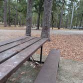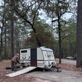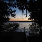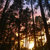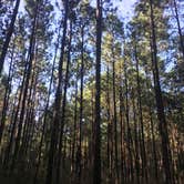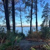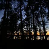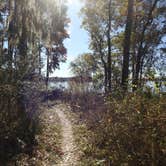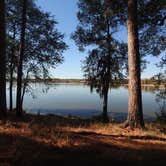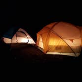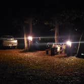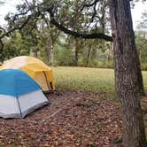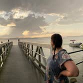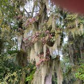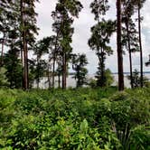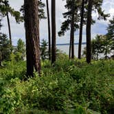
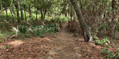
Sam Houston National Forest's Cagle Recreation Area sits on the western shore of Lake Conroe, managed by the US Forest Service and open year-round to tent campers, RV travelers, and boaters. Tall pines mixed with palmettos and hanging moss define the landscape, and only a handful of sites closest to the water have a direct view of the lake; from most others, the water is visible through the trees. The campground is small and the layout is easy to navigate, which makes it a manageable stop for families and first-time visitors to the forest.
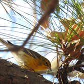
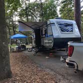
RV sites include full hookups with electric, water, and sewer connections, and multiple reviewers note the sites are well-spaced and shaded without feeling overgrown. A paved hiking trail of roughly two miles loops around the campground and along the lake shoreline, with a longer trail system accessible nearby for those wanting more mileage. A boat ramp and pier toward the back of the park give water access to anglers and paddlers, and Sand Branch - Sam Houston National Forest is another US Forest Service option a short distance south for groups that need overflow space. Birding is a consistent draw; cranes have been spotted fishing along the shoreline, and coyotes are audible at night.
"Birding was awesome and so were the sunsets," notes Tim H., who returned for a second stay with his son. Bathrooms are reported as clean and include hot showers and flushing toilets, though at least one reviewer noted a stall door that did not latch. Camp hosts are on-site and described consistently as friendly and helpful. Campers who want pet-friendly campgrounds around Sam Houston National Forest will find Cagle qualifies, as pets are allowed throughout. Reservations are available and recommended on weekends, when the limited number of lakeside sites tends to fill first.
RV Road Trip Guides

Map & DirectionsSam Houston National Forest Cagle Recreation Area is located in Texas near New Waverly
 Public Campground
Directions
North of Houston, Texas, near New Waverly use Interstate Highway 45 northbound exit #102 or #103 southbound at state highway FM-1375. Go West approx. 5 miles. Turn left at large Cagle Recreation Area sign.
Coordinates
30.52210091 N
95.59020082 W
Connectivity
 T-MobileNo CoverageVerified by 3 users
 VerizonLTESome CoverageVerified by 2 usersLast on 9/16/26
- AT&TLTESome Coverage
Connectivity
- T-MobileNo CoverageVerified by 3 users
- VerizonLTESome CoverageVerified by 2 usersLast on 9/16/26
- AT&TLTESome Coverage
Access
- Drive-InPark next to your site
- Walk-InPark in a lot, walk to your site.
- Boat-InSites accessible by watercraft.
Site Types
- Tent Sites
- RV Sites
- Standard (Tent/RV)
Features
For Campers
- ADA Access
- Trash
- Picnic Table
- Phone Service
- Reservable
- Showers
- Drinking Water
- Electric Hookups
- Toilets
- Alcohol
- Pets
- Fires
For Vehicles
- Sanitary Dump
- Sewer Hookups
- Water Hookups
- Big Rig Friendly
Drive Time
- 51 min from College Station, TX
- 55 min from Houston, TX
- 1 hr 47 min from Beaumont, TX
- 2 hrs 14 min from Waco, TX