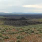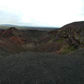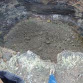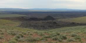
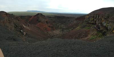
Managed by the Bureau of Land Management's Vale Malheur Field Office, Cow Lakes Campground sits between upper and lower Cow Lakes in the open range country of southeastern Oregon. Access matters here: approach from the south via Danner Loop Road off Highway 95, then north on Lower Cow Creek Road. Coming from the east on Curly Lodge Road does not connect. The site is free, primitive, and allows pets and campfires. Paddlers have used the lakes, and pronghorn antelope move through the surrounding cattle land. The nearby Jordan Craters Area of Environmental Concern adds a worthwhile side trip. Campers should arrive with water, as no hookups or services are available on site.
RV Road Trip Guides

Map & DirectionsBLM is located in Oregon near Jordan Valley
 Public Campground
Directions
Approach from the south of Jordan Valley on Danner Loop Road off of the 95 highway, and then north on Lower Cow Creek Road
Coordinates
43.09619396 N
117.32828636 W
Connectivity
 T-MobileNo Coverage
 VerizonLTESome Coverage
- AT&TNo Coverage
Connectivity
- T-MobileNo Coverage
- VerizonLTESome Coverage
- AT&TNo Coverage
Access
- Drive-InPark next to your site
Site Types
- Tent Sites
- Standard (Tent/RV)
Features
For Campers
- Pets
- Fires
FREE established camping
Enjoy camping on government land. Limited or no services at this camping area.
PERMIT might be REQUIRED
We curate permit requirements across the US for our PRO members. Try PRO to see if BLM - Cow Lakes Campground needs a permit.
Drive Time
- 2 hrs 16 min from Boise, ID
- 3 hrs 59 min from Twin Falls, ID
- 4 hrs 28 min from Bend, OR
- 5 hrs 26 min from Walla Walla, WA