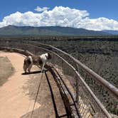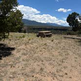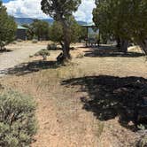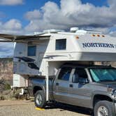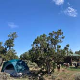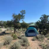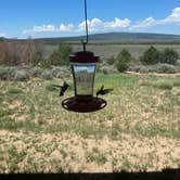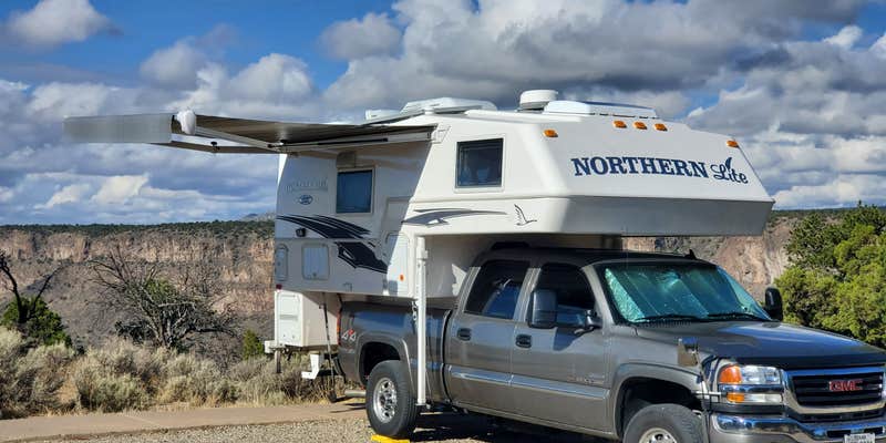
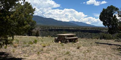
Paved roads throughout BLM Wild Rivers Recreation Area make the campground accessible by car, though some access routes can be rough depending on conditions. The area is organized into roughly eight small loops, with sites distributed across forested terrain above the Rio Grande Gorge. Reservations are available, and at around $7 per night, nightly costs are among the lower end for established BLM campgrounds in the region. Drinking water, picnic tables, and pit toilets are on-site, and reviewers consistently note the toilets are kept clean. The visitor center provides trail recommendations and local information, which is worth a stop on arrival.
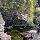
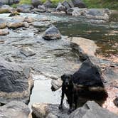
Hiking is the main draw. Trails drop approximately 900 feet from the rim to the Rio Grande below, and campers can hear the river from many sites at the top. One loop sits above the Red River, where a trail leads to the confluence of the two rivers. The Big Arsenic Spring trail is steep but well-maintained, with rest stops along the way, and petroglyphs are located roughly 250 yards past the spring. Anglers have river access at the bottom. The paved camp roads also make for low-traffic cycling, including for younger riders. Dark skies at night add another dimension to evenings at camp.
Heat is a real factor in summer. As Nora S. notes, "it's hot and barely any protection is available so be careful." Shade is limited across much of the area, and the hike back up from the gorge demands adequate water. Cell service is available. Nearby, Little Arsenic Springs Campground sits within the same recreation area for campers who want a slightly different site configuration. Those planning a longer stay in the region can also browse camping spots near BLM Land — Taos Field Office for additional context on what else is available in the area.
Description
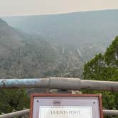
The Wild Rivers Recreation Area is located within the Rio Grande Del Norte National Monument and along the Rio Grande Wild and Scenic River and Red River Wild and Scenic River. Here visitors may experience the beauty of an 800-foot deep canyon sliced into volcanic flows by the Rio Grande (Spanish for Great River) and Red River where they come together. Located in the high plains of northern New Mexico, this area is rich with history, rugged beauty, and enticing recreational opportunities. A back country byway, visitor center, campgrounds, picnic facilities, and trails are available for visitors. Several spectacular overlooks are found here, including La Junta Point, one of the most dramatic views in the state, overlooking the confluence of the Red River and the Rio Grande -- and it is wheelchair accessible. The canyon ecosystem descends 800 feet from rim to river, creating a unique diversity in plant and animal life. Ancient piсon and juniper forests include 500 year-old trees. Watchable wildlife opportunities include mule deer, red-tailed hawk, mountain blue-bird, and prairie dog. The climate is semi-arid with summer thunderstorms common in July and August, and snow possible from November through March. Summer temperatures range from 45 to 90F and in winter from -15 to 45F.
Fee Info
Self-service pay stations are located at developed camping, picnic and trailhead areas. Day Use: $3.00/day per vehicle to use the area for 30 minutes or more. An annual day use pass, good for the calendar year, is available for $20.00. Camping: $7.00/night for one vehicle, $10.00 for two. Maximum 2 vehicles and 10 people per site. (Additional vehicles may park in day use parking areas at $3.00/day.) Change is available at the Visitor Center or from a Park Ranger or Camp Host. Annual day use passes do not apply to camping fees. River Campsites: $5.00/night. Group Shelters: $30.00 per day, $40.00 per night. Group shelters are by reservation. Call the BLM Taos Field Office at 575-758-8851.
RV Road Trip Guides

Map & DirectionsBLM Wild Rivers Recreation Area is located in New Mexico near San Cristobal
 Public Campground
Directions
From Taos, follow NM 68 north 7 miles. Take NM 522 approximately 20 miles to Questa. Travel 3 miles past the stoplight in Questa to NM 378. Turn left onto NM 378 and follow the signs about 12 miles west to Wild Rivers Recreation Area
Coordinates
36.66533502 N
105.67971197 W
Connectivity
 T-Mobile5GExcellent CoverageVerified by 16 usersLast on 9/20/26
 VerizonLTEGood CoverageVerified by 16 usersLast on 9/20/26
 AT&TLTESome CoverageVerified by 6 usersLast on 9/20/26
Connectivity
- T-Mobile5GExcellent CoverageVerified by 16 usersLast on 9/20/26
- VerizonLTEGood CoverageVerified by 16 usersLast on 9/20/26
- AT&TLTESome CoverageVerified by 6 usersLast on 9/20/26
Access
- Drive-InPark next to your site
- Walk-InPark in a lot, walk to your site.
- Hike-InBackcountry sites.
Site Types
- Tent Sites
- RV Sites
- Standard (Tent/RV)
- Group
Features
For Campers
- ADA Access
- Trash
- Picnic Table
- Phone Service
- Reservable
- Drinking Water
- Toilets
- Alcohol
- Pets
- Fires
Drive Time
- 2 hrs 14 min from Santa Fe, NM
- 2 hrs 38 min from Pueblo, CO
- 3 hrs 3 min from Albuquerque, NM
- 4 hrs 16 min from Farmington, NM