Please note: Access to this site should be via the unpaved road - the paved road is private access only for residents. See directions for details.
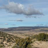
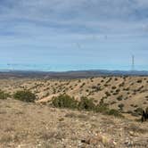
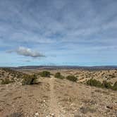
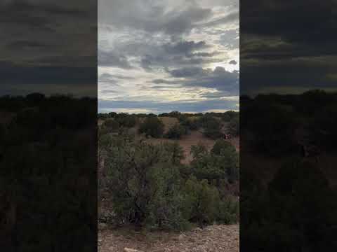
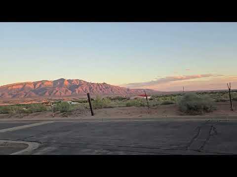
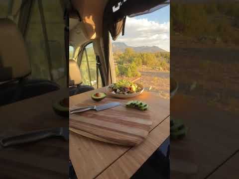
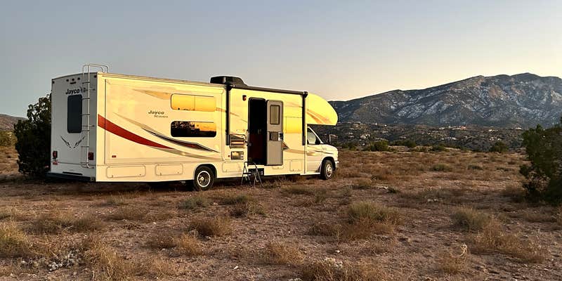
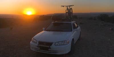
Top of New Mexico - Dispersed Site, near Albuquerque, New Mexico, is a stunning location that offers breathtaking views and a true escape into nature. This area is perfect for those who appreciate wide-open spaces and the beauty of the desert landscape, with plenty of room to set up tents or park RVs.
Visitors rave about the spectacular sunsets and the privacy this spot provides. One camper shared, “It’s a beautiful place to watch the sunset,” while another noted the “awesome” views and the chance to see wild horses roaming nearby. The site is clean and well-maintained, making it a great choice for a peaceful getaway.
The area is known for its windy conditions, which some campers found refreshing, and it’s a great spot for those looking to enjoy a bit of solitude. Whether you’re planning a quick stop or a longer stay, Top of New Mexico offers a unique camping experience that’s hard to beat.
Description
NOTE:
PUBLIC ACCESS: Camino de Las Huertas to Llano del Norte to Llano El Norte
Do not used the paved road (Palomino) to access this site or The Camino de la Questa del Aire. THESE ARE PRIVATE for residents only. Palomino is no public access.
RV Road Trip Guides


Location
Dispersed CampingTop of New Mexico - Dispersed Site is located in New Mexico
Directions
PUBLIC ACCESS: Camino de Las Huertas to Llano del Norte to Llano El Norte Do not used the paved road (Palomino) to access this site or The Camino de la Questa del Aire. THESE ARE PRIVATE for residents only. Palomino is no public access.
Coordinates
35.34506365511533 N
106.46428360143395 W
Connectivity
 T-Mobile5GExcellent CoverageVerified by 20 usersLast on 5/5/26
 VerizonLTEGood CoverageVerified by 34 usersLast on 5/5/26
- AT&TLTEGood CoverageVerified by 15 usersLast on 5/5/26
Connectivity
- T-Mobile5GExcellent CoverageVerified by 20 usersLast on 5/5/26
- VerizonLTEGood CoverageVerified by 34 usersLast on 5/5/26
- AT&TLTEGood CoverageVerified by 15 usersLast on 5/5/26
Access
- Drive-InPark next to your site
- Walk-InPark in a lot, walk to your site.
Site Types
- Tent Sites
- Dispersed
- Group
- Equestrian
Features
For Campers
- Phone Service
- Alcohol
- Pets
- Fires
For Vehicles
- Pull-Through Sites
- Big Rig Friendly
DISPERSED CAMPING
Enjoy dispersed camping on government land and leave no trace. Pack in and pack out. No (or limited) services at this camping area. Permit may be required.
PERMIT might be REQUIRED
We curate permit requirements across the US for our PRO members. Try PRO to see if Top of New Mexico - Dispersed Site needs a permit.
Drive Time
- 18 min from Albuquerque, NM
- 30 min from Santa Fe, NM
- 2 hrs 33 min from Farmington, NM
- 3 hrs 16 min from Las Cruces, NM