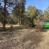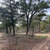
Forest Service Road access defines the experience at Manzanita Rec Zone, where dispersed camping spreads across open terrain in the Sandia District. This free camping area sits within Cibola National Forest, requiring a drive off paved roads to reach the scattered sites.
The approach road presents challenges that divide potential visitors. Deep ruts mark the final stretch into the camping area, making access difficult for low-clearance vehicles. Lewis T. notes the road is "almost more accessible to this camp ground for low clearance" compared to nearby alternatives, though visitors still "might scrape a bit going up final ramp." Higher-clearance vehicles handle the terrain better, with one camper successfully navigating the route in a lifted Outback.
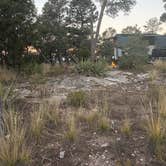
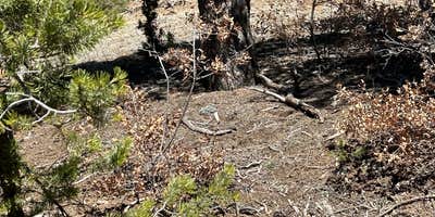
The hilly camping area makes finding level ground a consideration for setup. Sites lack formal boundaries, allowing campers to choose their preferred spot among the available terrain. Mountain biking trails run close to the camping zone, positioned about 200 yards from an extensive trail system according to visitor reports.
Local traffic passes through regularly, including delivery vehicles, though ranger presence remains minimal based on camper experiences. For those wanting established facilities, Cedro Peak Camping Sites - Robin and Jay provides developed options nearby.
Description
Please consult the Manzanita Mountains Trail System Map to find a dispersed site: https://www.fs.usda.gov/Internet/FSE_DOCUMENTS/fseprd555098.pdf
Look for Motorized Dispersed Camping info in the bottom left portion of the map. **When looking for the Dispersed Camping Sites, look for small, rectangular boxes with a site number in it and a pointer that directs you to the site.
There are NO AMENITIES at these sites. Cell phone coverage is not guaranteed. It is the recreationist’s responsibility to use a map if you choose to explore the area. It is a multi-user area. Trail(s) that are associated with each dispersed site are open for the following uses: Hiking, Mountain Biking, 2 Wheel Motorized Vehicles and Horseback Riding.
RV Road Trip Guides


Map & DirectionsManzanita Rec Zone Dispersed Camping is located in New Mexico near Ponderosa
Coordinates
35.03271606812127 N
106.32614950623021 W
Connectivity
 T-Mobile5GExcellent CoverageVerified by 1 userLast on 7/27/26
 VerizonLTESome CoverageVerified by 2 usersLast on 7/27/26
- AT&TLTESome CoverageVerified by 4 usersLast on 7/27/26
Connectivity
- T-Mobile5GExcellent CoverageVerified by 1 userLast on 7/27/26
- VerizonLTESome CoverageVerified by 2 usersLast on 7/27/26
- AT&TLTESome CoverageVerified by 4 usersLast on 7/27/26
Access
- Drive-InPark next to your site
- Walk-InPark in a lot, walk to your site.
Site Types
- Tent Sites
- Dispersed
Features
For Campers
- Phone Service
- Alcohol
- Pets
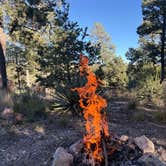
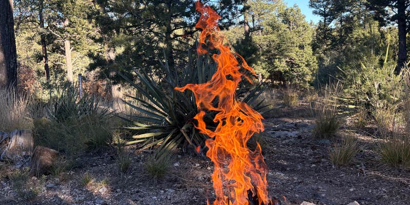
- Fires
DISPERSED CAMPING
Enjoy dispersed camping on government land and leave no trace. Pack in and pack out. No (or limited) services at this camping area. Permit may be required.
PERMIT might be REQUIRED
We curate permit requirements across the US for our PRO members. Try PRO to see if Manzanita Rec Zone Dispersed Camping - Sandia District needs a permit.
Drive Time
- 24 min from Albuquerque, NM
- 1 hr 7 min from Santa Fe, NM
- 3 hrs 6 min from Farmington, NM
- 3 hrs 23 min from Las Cruces, NM