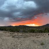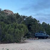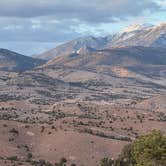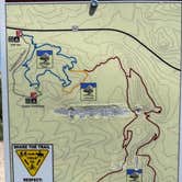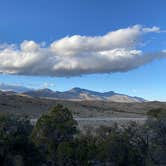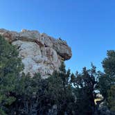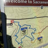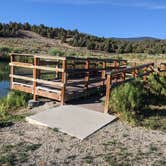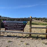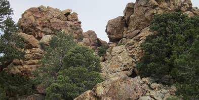
Hikers and anglers both find reasons to linger at Sacramento Pass Recreation Area, a BLM-managed campground set along Highway 50 in the high desert east of Great Basin National Park. The Sacramento Pass Trail and Lucky Boy Trail both depart from the campground, with one reviewer noting a full loop running close to seven miles. A small pond near the lower sites draws casual fishing, though no one has confirmed what species are present.
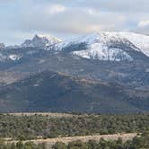
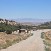
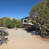
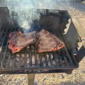
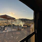
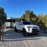
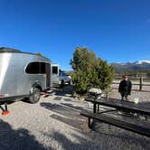
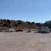
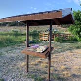
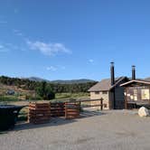
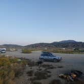
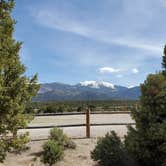
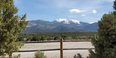
The campground splits into two distinct areas. The lower section sits just off the highway and has roughly seven to eight sites arranged around the pond, each with a covered picnic table, fire pit, and grill. Noise from the road is noticeable but multiple campers report it less disruptive than expected. Drive about a mile up the gravel road to reach the upper area, which has shade trees, a horse corral, and sites that feel more separated from traffic. Jen B. notes that "gravel road was well kept and the sites were clean," and the upper section gives direct sightlines toward Wheeler Peak.
Vault toilets serve both areas. Bring your own toilet paper. A trash dumpster sits near the lower entrance, and the upper area has no trash service, so pack it out. No running water is available at either location. Cell coverage is essentially absent at the lower camp, with one bar occasionally reachable near the crest of the hill about three-quarters of a mile up. Kailey C. confirms "toilets were clean and well maintained," though cleanliness varies by visit. Late July temperatures run hot but manageable at this elevation.
The campground operates on a 14-day limit, first-come, first-served, with no camp host on site. Campers heading to or from Sacramento Pass Dispersed — Great Basin NP Area or the Sacramento Pass BLM Dispersed area will find this a more developed fallback when those sites are occupied. The campground works well for travelers moving along Highway 50, overnight visitors who want trailhead access without the structure of a national park, and equestrians who need a corral.
Description
Fee Info
Free
RV Road Trip Guides

Map & DirectionsSacramento Pass Recreation Area is located in Nevada near Great Basin National Park
 Public Campground
Directions
How to get there: Sacramento Pass Recreation Area is located along Highway 50 about 40 miles east of Ely or 15 miles west of the Utah border. Approximately 20 miles from Great Basin National Park. Look for the sign on the south side of the Hwy.
Coordinates
39.12151852 N
114.30492175 W
Connectivity
 T-MobileNo CoverageVerified by 2 usersLast on 10/18/26
- VerizonNo CoverageVerified by 8 usersLast on 10/18/26
- AT&TNo CoverageVerified by 3 usersLast on 10/18/26
Connectivity
- T-MobileNo CoverageVerified by 2 usersLast on 10/18/26
- VerizonNo CoverageVerified by 8 usersLast on 10/18/26
- AT&TNo CoverageVerified by 3 usersLast on 10/18/26
Access
- Drive-InPark next to your site
- Walk-InPark in a lot, walk to your site.
Site Types
- Tent Sites
- RV Sites
- Standard (Tent/RV)
- Equestrian
Features
For Campers
- ADA Access
- Trash
- Picnic Table
- Toilets
- Alcohol
- Pets
- Fires
For Vehicles
- Pull-Through Sites
- Big Rig Friendly
Drive Time
- 2 hrs 55 min from Provo, UT
- 2 hrs 55 min from St. George, UT
- 3 hrs 26 min from Salt Lake City, UT
- 3 hrs 54 min from Ogden, UT