Walk-in camping sites spread across open terrain define White Fox Campground, where campers park vehicles in a designated area before carrying gear to individual sites. The campground operates year-round within Myre-Big Island State Park, offering electric hookups and accommodating RVs up to 60 feet.
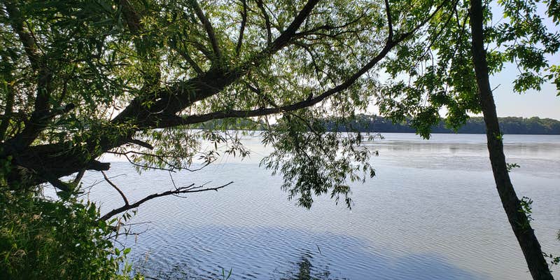
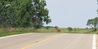
Site spacing provides reasonable privacy, with many campsites bordered by trees and shrubs along the edges. Stephanie B. notes her site offered "a perfect mix of sunshine, tree cover, wildlife and mowed grassy area." Deer frequently visit the campground, particularly in evening hours. Water spigots are positioned between some sites, though not all locations have direct water access.
Trail access proves convenient, with hiking paths connecting directly from campsite areas. The trail network includes paved sections, mowed grass paths, and routes through denser forest areas. Campers can explore both prairie and woodland environments, with some trails extending for several miles. The park's causeway provides vehicle access to Big Island, which contains additional trails and the separate Big Island Campground — Myre-Big Island State Park.
Road conditions within the campground feature dirt surfaces with occasional potholes, and narrow widths require careful navigation for larger RVs. "Shower and restroom facilities are extremely clean and well maintained," according to one recent visitor. Two freeways and a rail line run near the park, creating intermittent noise that some campers notice during quieter morning hours. Cell service generally works well, though data speeds may slow during peak usage times.
Rates range from $24-34 per night, with additional daily vehicle permits required. The campground tends to fill during summer weekends, making reservations advisable for peak season visits.
Description
Campground is open April 1 - October 31
Arrive prepared. Go to mndnr.gov/myre for visitor alerts and seasonal updates.
RV Road Trip Guides


Map & DirectionsWhite Fox Campground is located in Minnesota near Hayward
Directions
Located 3 miles southeast of Albert Lea on County Highway 38. Interstates 90 and 35 intersect just north of Albert Lea. Both interstates have signs directing visitors to the park. From Interstate 35: Take exit 11, turn east on Freeborn County Road 46. Follow County Road 46 for 1/2 mile then turn south on Freeborn County Road 38 and continue on County Road 38 for 1 1/2 miles to park entrance. From Interstate 90: Take Interstate 35 South and follow above directions.
Address
19499 780th Avenue
Albert Lea, MN 56007
Coordinates
43.63498624 N
93.30124155 W
Connectivity
 T-Mobile5GExcellent CoverageVerified by 2 usersLast on 6/23/26
- Verizon5GExcellent CoverageVerified by 1 userLast on 6/23/26
- AT&T5GExcellent Coverage
Connectivity
- T-Mobile5GExcellent CoverageVerified by 2 usersLast on 6/23/26
- Verizon5GExcellent CoverageVerified by 1 userLast on 6/23/26
- AT&T5GExcellent Coverage
Access
- Walk-InPark in a lot, walk to your site.
Site Types
- Tent Sites
- RV Sites
- Standard (Tent/RV)
- Group
- Cabins
- Tent Cabin
Features
For Campers
- Market
- ADA Access
- Picnic Table
- Firewood Available
- Phone Service
- Reservable
- Showers
- Electric Hookups
- Toilets
- Alcohol
- Pets
- Fires
For Vehicles
- Sanitary Dump
- 30 Amp Hookups
- Big Rig Friendly
Contact
General Info
Reservations
Drive Time
- 51 min from Rochester, MN
- 58 min from Mankato, MN
- 1 hr 19 min from Minneapolis, MN
- 1 hr 45 min from Waterloo, IA


