Free Camping Collection
Dispersed Camping
Peninsula Point Lighthouse Access Road - Dispersed
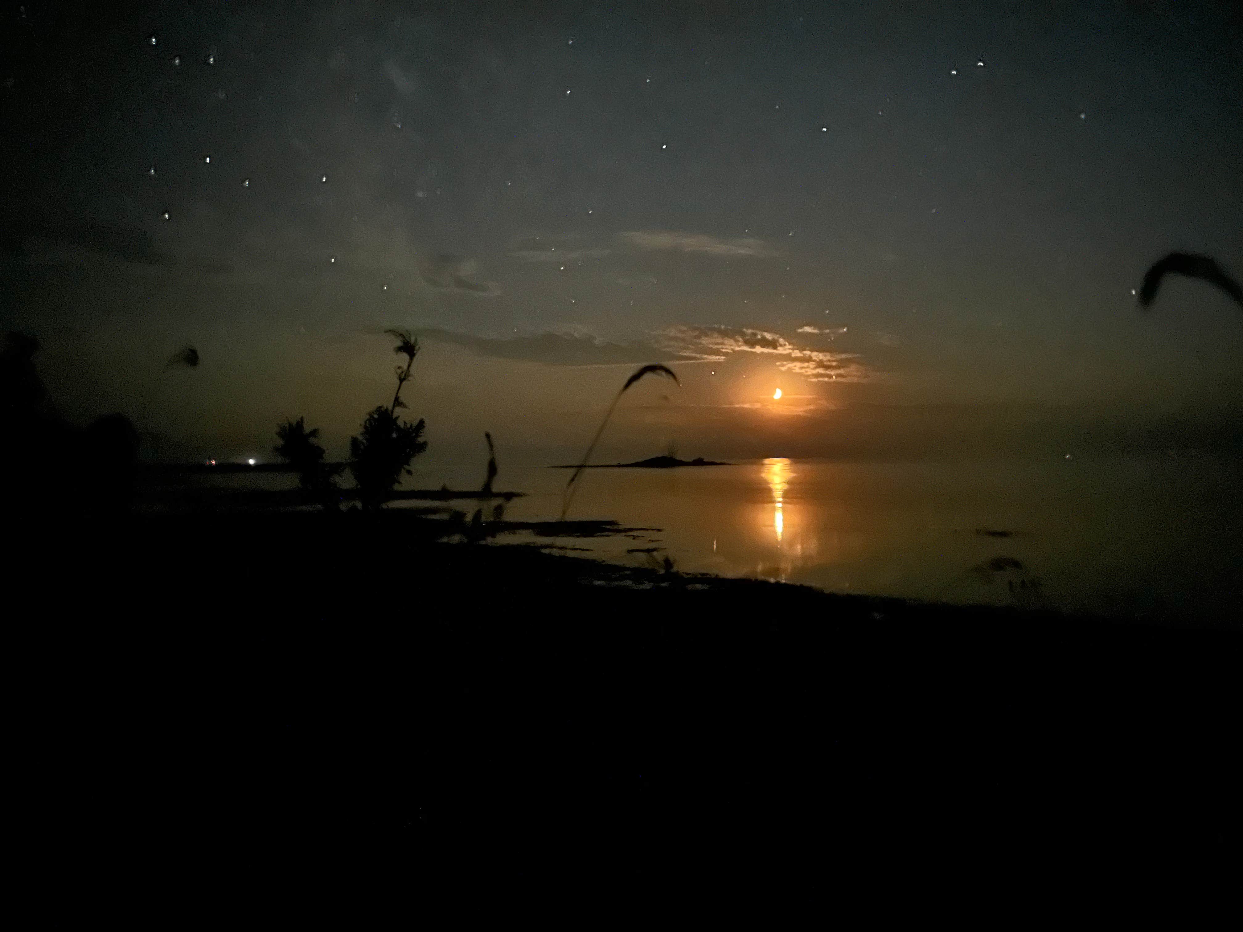
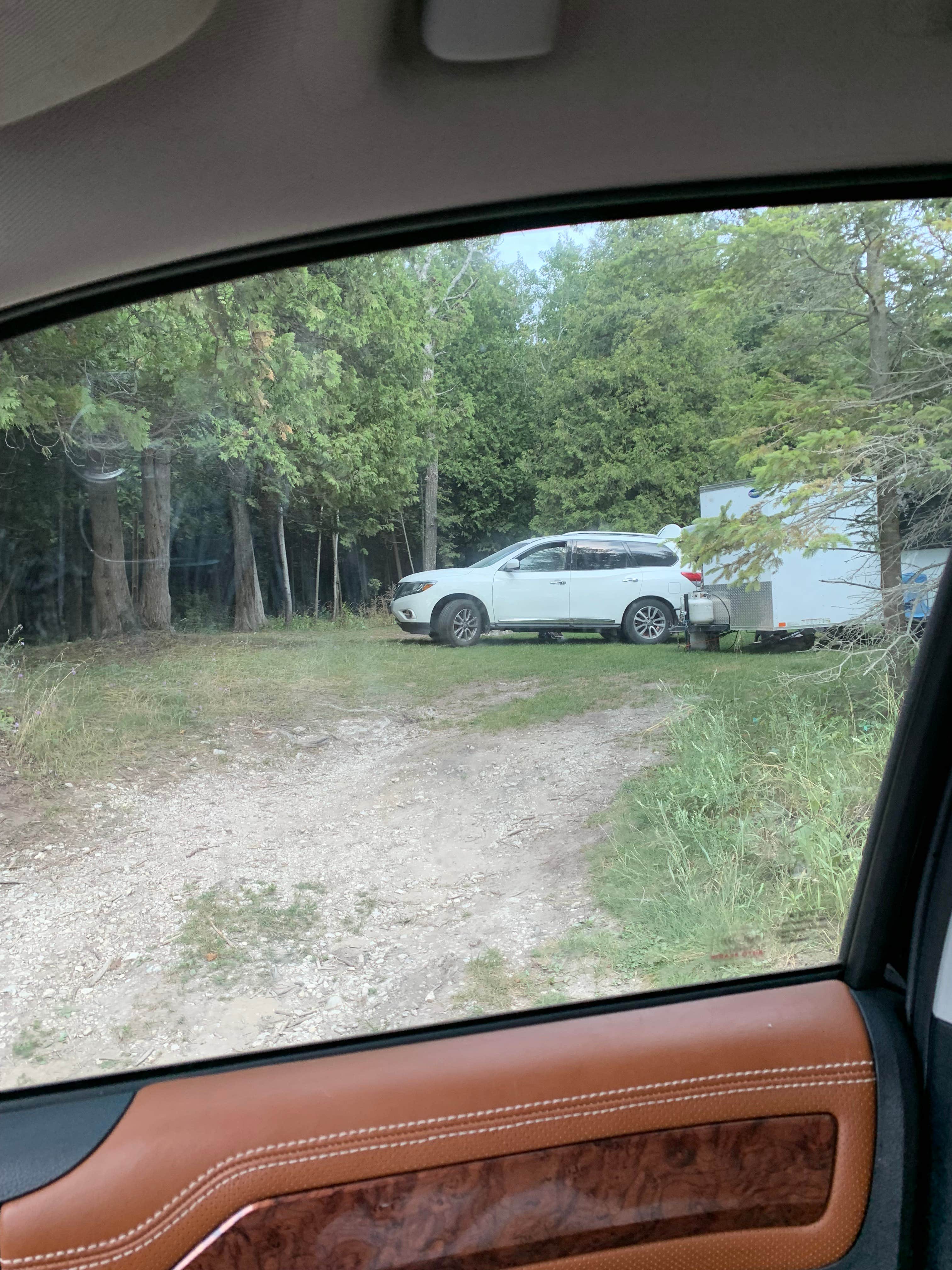
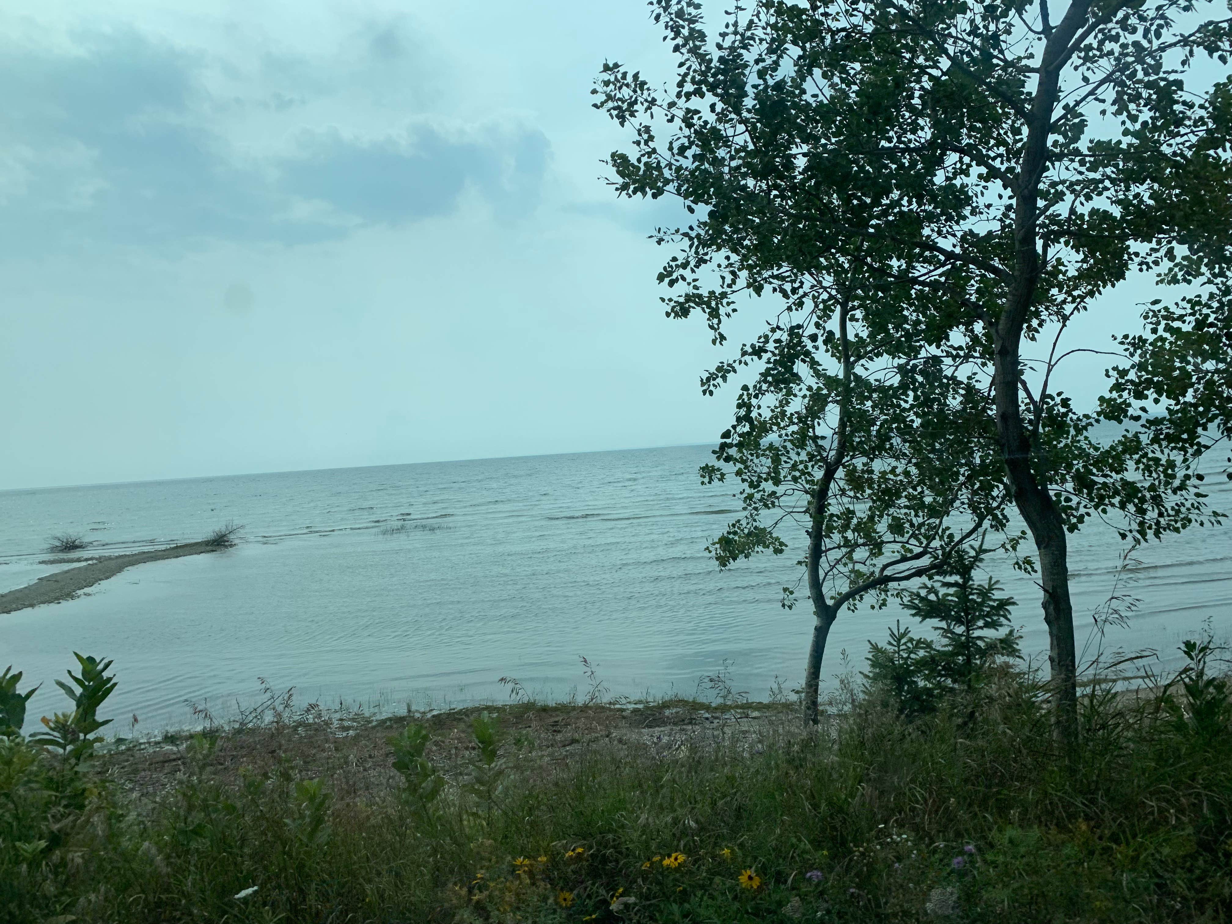
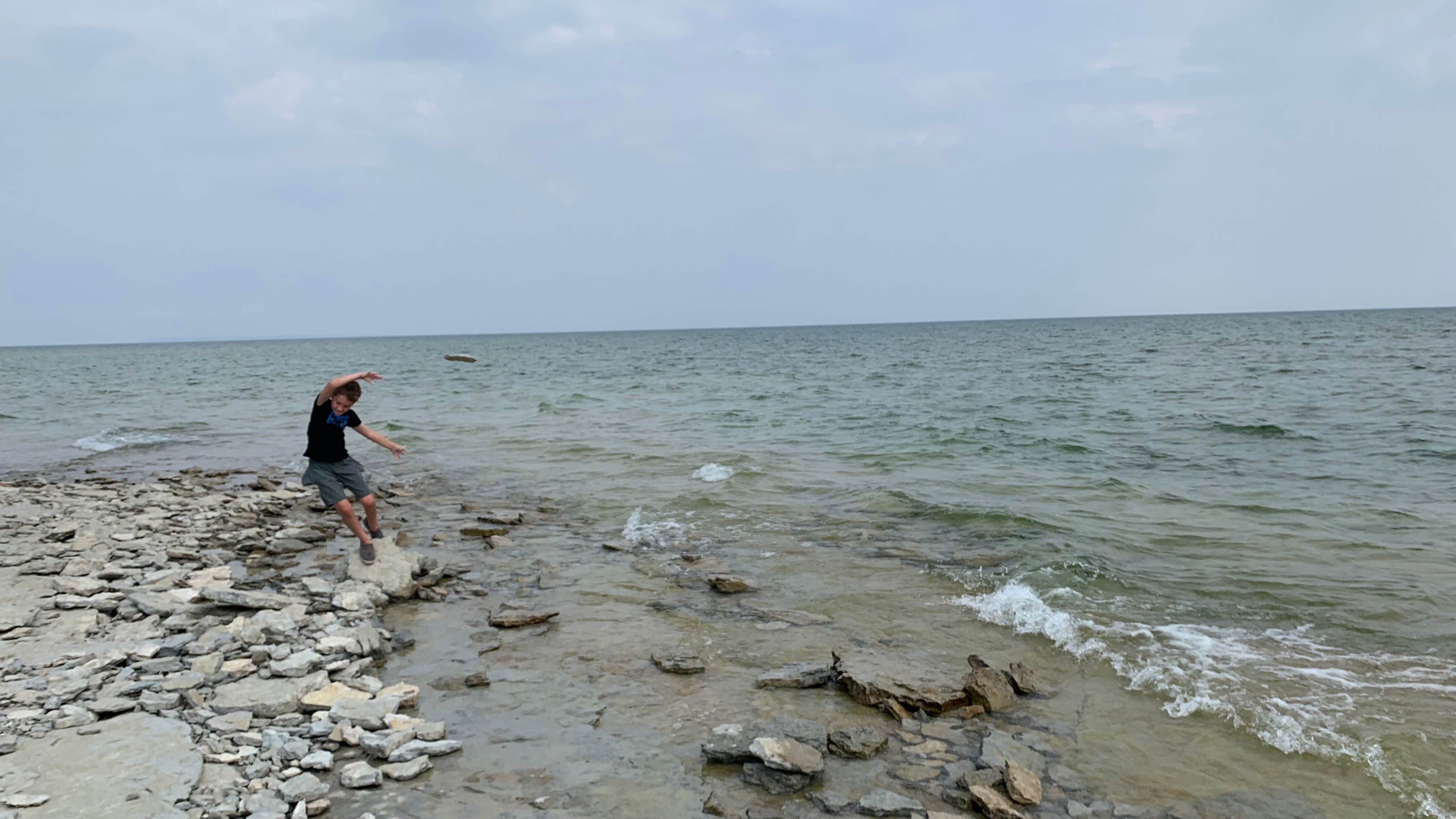
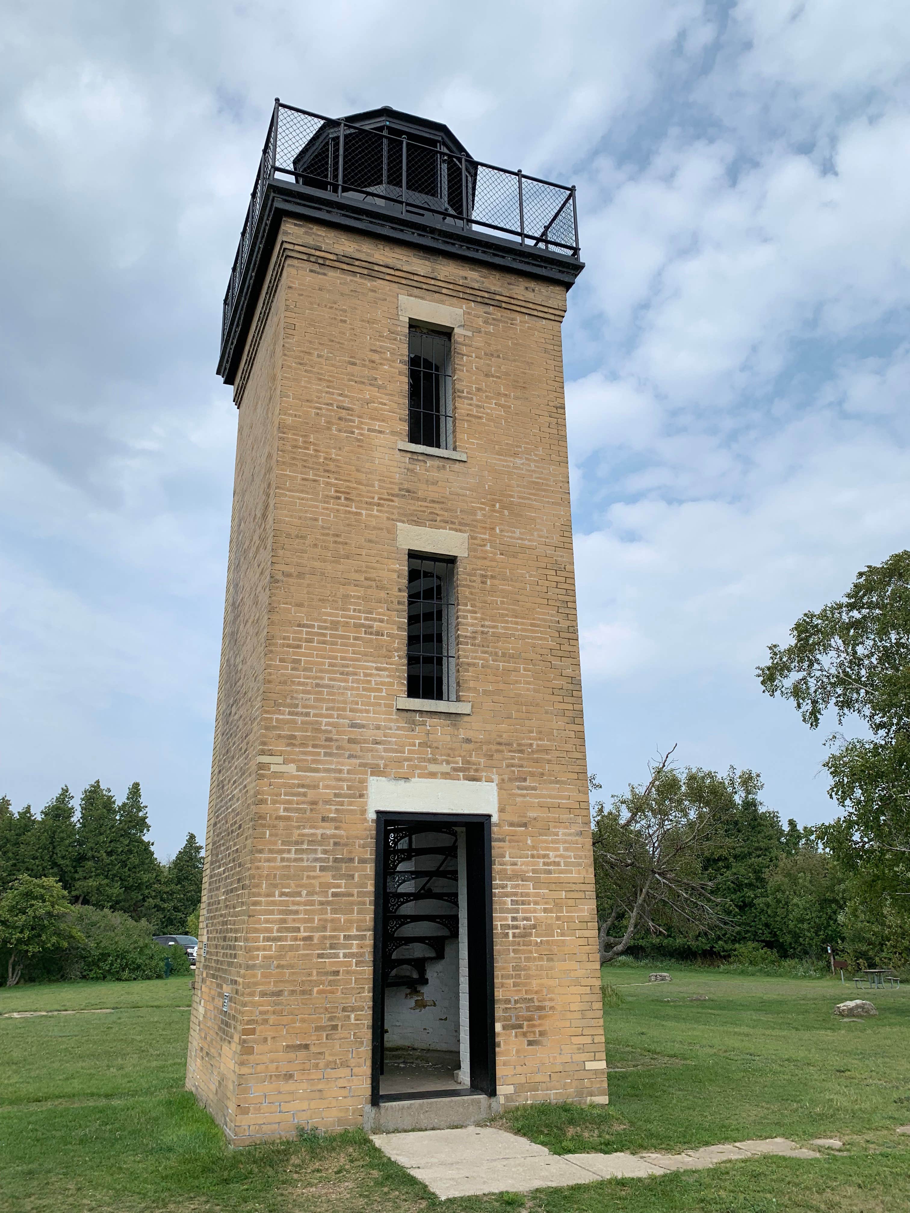
Peninsula Point Lighthouse Access Road offers dispersed camping near the Hiawatha National Forest in Michigan. The terrain consists of forested areas and open spaces along the shoreline of Lake Michigan. Campers can explore the nearby Peninsula Point Lighthouse and enjoy temperatures ranging from 60°F to 80°F in summer and 10°F to 30°F in winter.
Description
Dispersed camping is allowed on Hiawatha National Forest lands except developed recreation and administrative sites, campgrounds and designated campsites. The following restrictions apply: Your stay is limited to 16 days. After this period, your camping equipment and all persons must move to another site at least one mile away, for an additional stay, not to exceed 16 days. Do not block any roads or restrict access to National Forest lands by others. Follow “Leave No Trace” principles (See https://lnt.org/why/7-principles) so that public lands will remain clean and attractive for others to enjoy. Camping in areas posted closed is prohibited. Camping within fifty (50) feet of a body of water is prohibited, unless otherwise posted. (Exceptions include Grand Island National Recreation Area (100 feet from water, cliff edge, private property, trails, other campsites, special use recreation residences or recreation developments) and Big Island Lake Wilderness (200 feet from water). Do not camp at boat launches. Permits are required for these sites: Bass Lake, Bear Lake, Camp Cook, Carr Lake, Chicago Lake, Cookson Lake, Council Lake, Crooked Lake, East Lake, Ewing Point, Gooseneck Lake, lronjaw Lake, Jackpine Lake, Lake Nineteen, Leg Lake, Lyman Lake, McKeever Cabin, Minerva Lake, Mowe Lake, Steuben Lake, Swan Lake, Toms Cabin, and Triangle Lake. On lakes with designated campsites, you may not set up your campsite within 400 feet of the shoreline anywhere on the lake.
Location
Peninsula Point Lighthouse Access Road - Dispersed is located in Michigan
Directions
From Rapid River drive 2.4 miles east on US-2 to County Road (CR) 513. Turn right (southwest) on CR 513 and drive 17 miles to the RV parking lot. Please note that the last 0.8 mile of the road to the lighthouse is single-lane, narrow and winding. The road is NOT recommended for recreational vehicles (RVs) or trailers over 16-feet long or 8-feet high. Pull-offs have been provided in case you meet oncoming traffic. A parking area for larger vehicles can be found at the beginning of the final mile of road, and folks are welcome to walk the interpretive trail to the lighthouse or walk the road.
Coordinates
45.68067414 N
86.96643218 W
Connectivity
- T-MobileLTESome CoverageVerified by 8 usersLast on 1/27/26
- VerizonLTESome CoverageVerified by 2 usersLast on 1/27/26
- AT&T5GGood CoverageVerified by 2 usersLast on 1/27/26
Connectivity
- T-MobileLTESome CoverageVerified by 8 usersLast on 1/27/26
- VerizonLTESome CoverageVerified by 2 usersLast on 1/27/26
- AT&T5GGood CoverageVerified by 2 usersLast on 1/27/26
Access
- Drive-InPark next to your site
- Walk-InPark in a lot, walk to your site.
Site Types
- Tent Sites
- Dispersed
- Group
Features
For Campers
- Picnic Table
- Phone Service
- Toilets
- Pets
- Fires
DISPERSED CAMPING
Enjoy dispersed camping on government land and leave no trace. Pack in and pack out. No (or limited) services at this camping area. Permit may be required.
PERMIT might be REQUIRED
We curate permit requirements across the US for our PRO members. Try PRO to see if Peninsula Point Lighthouse Access Road - Dispersed needs a permit.
Drive Time
- 2 hrs 44 min from Green Bay, WI
- 3 hrs 4 min from Appleton, WI
- 3 hrs 34 min from Sheboygan, WI
- 4 hrs 33 min from Traverse City, MI

