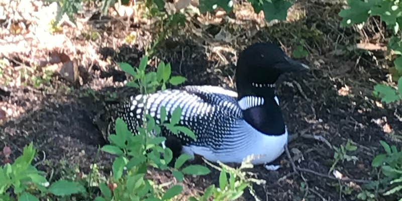
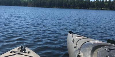
Water activities and fishing opportunities draw campers to Tomahawk Creek Flooding State Forest Campground, managed by the Michigan Department of Natural Resources within the forested Kirtland Warbler Unit Clear Lake. The drive-in campground accommodates RVs up to 20 feet and provides basic amenities including toilets, picnic tables, and fire rings. Pets are welcome throughout the year-round facility.
The forested setting offers a base for exploring places to camp around Kirtland Warbler Unit Clear Lake, with nearby Tomahawk Lake State Forest Campground just over a mile northeast. Long-term visitors appreciate the consistent experience here, with one regular camper noting years of return visits without wanting changes to the area. The campground works well for RV travelers seeking a wooded state forest experience with standard facilities.
Description
Michigan Recreation Passport is required for vehicle entry into state parks and recreation areas, state boat launches, state forest campgrounds and state trail parking lots. The Michigan Recreation Passport does not cover local, county, municipal, or metropolitan parks or recreation areas. Learn more: https://www.michigan.gov/dnr/buy-and-apply/rec-pp
Warning 1 Alert is In Effect
There is 1 alert for this campground. Camp safely!
Warning 1 Alert is In Effect
There is 1 alert for this campground. Camp safely!
Air Quality at this campground may currently be very unhealthy. Please check with the campground before making a reservation.
RV Road Trip Guides

Map & DirectionsTomahawk Creek Flooding State Forest Campground is located in Michigan near Onaway
Directions
From town: Go 13 mi N on Hwy 33, then 1 mi E on Tomahawk Lake Rd.
Coordinates
45.22475873 N
84.18381855 W
Connectivity
 T-MobileNo Coverage
 VerizonLTESome Coverage
- AT&TLTESome Coverage
Connectivity
- T-MobileNo Coverage
- VerizonLTESome Coverage
- AT&TLTESome Coverage
Access
- Drive-InPark next to your site
Site Types
- Tent Sites
- RV Sites
Features
For Campers
- Picnic Table
- Toilets
- Pets
- Fires
Drive Time
- 1 hr 52 min from Traverse City, MI
- 2 hrs 4 min from Bay City, MI
- 2 hrs 14 min from Saginaw, MI
- 2 hrs 14 min from Midland, MI


