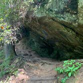
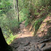
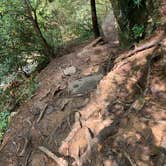
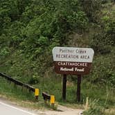
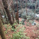
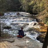
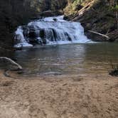
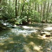
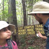
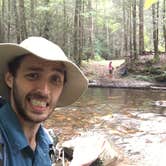
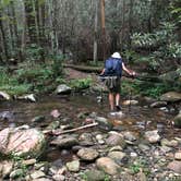
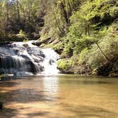
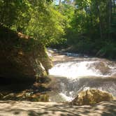
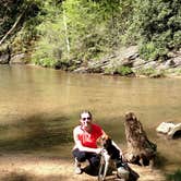
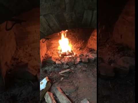
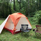
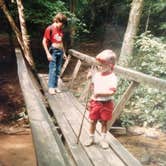
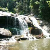
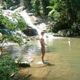
The sound of Panther Creek runs through nearly every review of this Chattahoochee National Forest campground, and for good reason. Set within a forested corridor outside places to camp near Turnerville, the recreation area serves as both a drive-in base camp and the launching point for a trail that threads alongside the creek for roughly 3.5 miles to a waterfall with a large pool and sandy beach at its base. Campsites are scattered along the trail itself, most with existing fire rings, giving hikers the option to push in and camp wherever they find a level spot.
Crowds are a recurring theme in reviews. Weekend parking fills fast, with overflow vehicles lining the road when the lot reaches capacity. Midweek visits draw noticeably fewer people. Wildlife sightings are common along the trail, including deer, raccoons, and bears, so hanging food from a free-hanging rope is a practical precaution rather than an afterthought. The creek also draws anglers after trout, including browns, rainbows, and brooks.
The $4 fee covers access to the parking area, which has restrooms and covered picnic pavilions nearby. Drinking water and trash service are available at the recreation area. Cell service is listed as available. As John W. notes, "the trail after the falls is challenging," so day hikers continuing past the waterfall toward Yonah Dam should plan for a more strenuous return. Nearby alternatives include Terrora Park Campground and Tallulah Gorge State Park Campground for those wanting more structured facilities. Arrive early on Fridays in summer if a trailside campsite is the goal.
Description
Enjoy a picnic, hold a Boy Scout troop meeting or have a family gathering within the historic CCC structures of this wooded recreation area. Directly adjacent to the picnic pavilions visitors can can follow their picnic with a mesmerizing day-hike to the awesome falls on the 6.6 mile Panther Creek Trail.
RV Road Trip Guides


Map & DirectionsPanther Creek Recreation Area Camping is located in Georgia near Turnerville
 Public Campground
Directions
(Northern end)Trailhead and recreation area: from the Chattooga River Ranger office in Lakemont, travel south on US 441 for 3.5 miles to Historic 441 and turn Rt. Continue on Historic 441 for approx. 1.5 miles. The Panther Creek Recreation Area will be on the right and the trail begins across the street on the left. (Southern end) Panther Creek Trail: Hwy 184 North (Panther Bridge Rd) which becomes Yonah dam Rd. to Panther Creek Rd. Turn Lt. and follow Panther Creek rd. until it ends at parking lot at southern end of trail.
Coordinates
34.69886008 N
83.41992082 W
Connectivity
 T-Mobile5GGood CoverageVerified by 1 user
 VerizonLTESome CoverageVerified by 3 usersLast on 10/22/26
- AT&TLTESome CoverageVerified by 1 userLast on 11/19/25
Connectivity
- T-Mobile5GGood CoverageVerified by 1 user
- VerizonLTESome CoverageVerified by 3 usersLast on 10/22/26
- AT&TLTESome CoverageVerified by 1 userLast on 11/19/25
Access
- Drive-InPark next to your site
- Walk-InPark in a lot, walk to your site.
- Hike-InBackcountry sites.
Site Types
- Tent Sites
- Standard (Tent/RV)
- Group
Features
For Campers
- Trash
- Picnic Table
- Phone Service
- Drinking Water
- Toilets
- Pets
- Fires