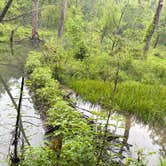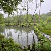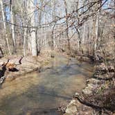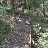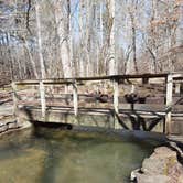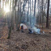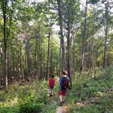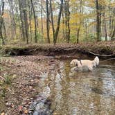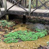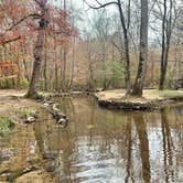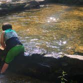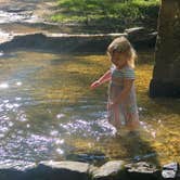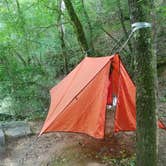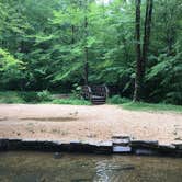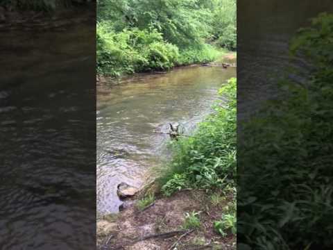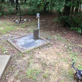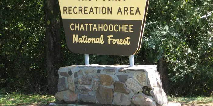
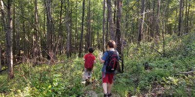

Chattahoochee National Forest's Pocket Campground sits along a creek corridor in the ridge-and-valley terrain near Villanow, Georgia, managed by the US Forest Service at $15 per night. The campground is small by design, with sites spread under a dense tree canopy that keeps most of them well-shaded through the warmer months. A natural spring flows through the day-use area, and several reviewers describe drinking directly from it and filling jugs to take home, noting the water runs notably cold regardless of air temperature.
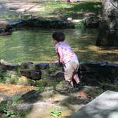
Water access is the defining feature here. Creek-side sites fill fastest, and site 10 reportedly gets the most sun while sitting closest to the water. Site 2 has two separate paths to the creek, one of which leads to a beaver dam. Swimming near the campsites is not recommended given the beaver activity, but wading and creek exploration are consistent draws, especially for families with children. Crawfish and salamanders have been spotted in the shallower sections. A 2.5-mile trail runs the length of the creek, and additional hiking trails are accessible a short drive up the road, making this a reasonable base for anglers and hikers who want to cover different water and terrain on the same trip.
Cell service is essentially nonexistent throughout the area. Ward noted the restrooms were "clean and in good order," though at least one visitor found no soap available, so bringing your own is a practical precaution. Bear-proof trash cans are on-site, and the campground has a host during the season. The access road can be rough, and low-clearance vehicles should approach with caution. The campground typically closes in early November, so fall visits require checking current dates. Reservations are available, and booking ahead is worth considering for creek-adjacent sites, particularly on weekends.
Taylor H. found the birding around the picnic area worth lingering over, noting a variety of species and audible frog activity at night. The Pocket Recreation Area is just to the north, and John's Mountain WMA provides additional dispersed options nearby for those wanting more solitude. Campers planning a longer stay in the region can find camping near Chattahoochee National Forest to compare nearby alternatives. Pack insect repellent, watch for poison ivy on the creek footpaths, and check the seasonal closure date before booking a late-season trip.
Description
Overview
The Pocket Recreation Area is located within the Chattahoochee-Oconee National Forest in the ridges and valleys of northwest Georgia. The campground sits in a low lying geographical area between Horn and Mill mountains. This low lying area was formed by limestone dissolving, leaving the ridges above and valleys below. These ridges are rich in iron ore "pockets" giving this area its name. Deer and turkeys thrive in the surrounding forest. Spring wildflowers and autumn colors abound, showcasing the beauty of the region. Nearby trails and overlooks allow visitors to enjoy the National Forest from different perspectives. The Pocket area is rich in cultural and historical history. In the mid-1800s until the Great Depression in the 1930s, this area consisted of two communities, Pocket and Zone. These communities consisted of farms, churches, home places, a grist mill, a saw mill, and a general store. Between 1938 and 1942, the Pocket Recreation Area was the site of a thriving Civilian Conservation Corps (CCC) work camp for Company 3435. The men of the CCC, under the guidance of the U.S. Forest Service, had a tremendous impact on the area. They were involved in building roads, bridges, erosion control, tree planting, fighting wildfires, and the construction of recreation sites. The CCC played an instrumental part in helping local farmers with erosion control and road maintenance. Remnants of the camp can be found throughout the Pocket Recreation Area. These remnants include foundations for buildings, drainage trenches, retaining walls, and spring box in the picnic area. Activities in the Pocket Recreation Area include camping, picnicking, hiking, and trout fishing in nearby Johns Creek.
Recreation
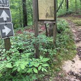
The Pocket Campground is a quiet campground which not only serves as a place to rest and relax by the campfire, but serves as a base camp for activities located within other parts of the National Forest. Adjacent to the campground is the Pocket Picnic Area, complete with tables, grills, a reservable picnic shelter, and a vault toilet. The trail heads for the Pocket Loop Trail and Pocket Interpretive Trail are located in the picnic area. A Civilian Conservation Corps spring box is located in the creek, releasing cold water from deep below the surface. This is a great place to wade and cool off during long summer days. Hiking the 1.5 mile Pocket Interpretive Trail contains signs to provide an educational walk through multiple types of habitat where an array of wildlife and plant species can be found. The 2.5 mile Pocket Loop Trail provides a similar, but longer experience, sharing some of the same tread with the interpretive trail. Trout fishing in Johns Creek (less than a mile away) is a great place to wet a line and fill one's creel. Georgia DNR fishing regulations apply.
Facilities
The Pocket Campground is a 26 site campground with one main loop. The campsites are located in a forested setting. A creek flows through the adjacent Day Use/Picnic Area. Each campsite has a paved parking spur, a gravel tent pad, picnic table, lantern post, and a fire ring with a grill. There is a restroom with flush toilets centrally located (no showers). Water hydrants are located throughout the campground. There is no electricity at this campground. There is no dump station at this campground. Cell phone service is very limited. A host site is located at the entrance to the campground. This site is a host residence, not a store or office. Campsites vary in size, accommodating various types of camping opportunities from tents up to 28 foot travel trailers. The roads leading to the Pocket Campground are paved and easy to travel.
Natural Features
Surrounded by the horseshoe ridges formed by Horn and Mill Mountains, the Pocket Campground is located in a geographical region known as the Ridge and Valley Province of Northwest Georgia, part of the Southern Appalachian Mountains. This region consists of long narrow ridges, sweeping valleys, creeks, streams, ponds, and waterfalls. A small creek, locally known as Spring Branch (a tributary to nearby Johns Creek) meanders through the recreation area, providing a cool relief in the summer months. An informational interpretive loop trail and the Pocket Loop Trail leads visitors through a mixed pine/oak forest, past a small wildlife pond, and near wildlife food plots. This variety of natural features provides habitat for deer, turkeys, a multitude of song birds, and aquatic life, such as amphibians and beavers. The Johns Mountain Overlook and the Keown Falls Picnic Area are found nearby. These two beautiful recreation sites showcase the natural features of the surrounding region.
Nearby Attractions
Johns Creek Trout Fishing Area: A great place to go trout fishing managed by the U.S. Forest Service and GA DNR with the help of Trout Unlimited. Leaving the campground, turn left onto Pocket Road. After 1/4 mile stay right at the Y. After 1 mile look for legal pull-offs for fishing access. (Georgia DNR fishing regulations apply). Johns Mountain Overlook: A U.S. Forest Service overlook where visitors can view the Armuchee Valley and distant Taylor's Ridge. Leaving the campground, turn right onto Pocket Road. After 3 miles turn left at the Johns Mountain Overlook entrance sign (Forest Service Road 208). Follow FSR 208 for 2 miles to the overlook. Keown Falls Picnic Area and Trailhead: A beautiful place to picnic with a loop hike to Keown Falls. Best seen after rain. Leaving the campground, turn right onto Pocket Road. After 2 miles turn left at the Keown Falls Trailhead entrance sign (Forest Service Road 702). Follow FSR 702 for half a mile. The Keown Falls trail is a 3 mile loop trail. The falls are about 1 miles when following the trail counter clockwise. Chestnut Mountain Shooting Range (Fee Area, see Recreation.gov page Chestnut Mountain Shooting Range): A U.S. Forest Service shooting range to hone your shooting skills. You must provide your own firearm, ammunition, and targets. Leaving the campground, turn right onto Pocket Road. After 4.6 miles turn right onto Furnace Creek Road. After 2 miles on Furnace Creek Road, turn right onto GA-136. Follow GA-136 for 5.7 miles. Turn left at the Chestnut Mountain Shooting Range entrance sign (Forest Service Road 212). Follow FSR 212 for a half mile. Houston Valley OHV Area (Fee Area, see Recreation.gov page Houston Valley OHV Area): A U.S. Forest Service ATV trail system. This is a designated area with 25 miles of various levels of trails where visitors can legally ride dirt bikes and ATVs (under 50 inches). On the Chattahoochee-Oconee National Forest ATVs and dirt bikes are limited to designated OHV trails and not allowed to be driven on roads designated as Forest Service Roads (National Forest Roads ARE NOT part of the county road system). Visitors must provide their own vehicles at this facility. Leaving the campground, turn right onto Pocket Road. Follow Pocket Road for 7.3 miles then turn left onto GA-136. After 1/10th of a mile turn right onto GA-201. Follow GA-201 for approximately 5.5 miles and veer left onto Old Ringgold Road. After approximately 5 miles turn left onto Houston Valley Road. After 2 miles turn onto Capehart Road. Follow Capehart Road into the Houston Valley OHV parking lot.
RV Road Trip Guides


Map & DirectionsPocket Campground is located in Georgia near Villanow
 Public Campground
Directions
From I-75, take exit 320 (LaFayette/Resaca) west on Georgia Highway 136 for approximately 14 miles. Turn left onto Pocket Road for approximately 7 miles. The recreation area will be on the left.
Coordinates
34.583573 N
85.08544 W
Connectivity
 T-MobileNo Coverage
- VerizonNo Coverage
- AT&TNo Coverage

Connectivity
- T-MobileNo Coverage
- VerizonNo Coverage
- AT&TNo Coverage
Access
- Drive-InPark next to your site
Site Types
- Tent Sites
- RV Sites
- Standard (Tent/RV)
- Dispersed
- Group
Features
For Campers
- Trash
- Reservable
- Drinking Water
- Toilets
- Pets
- Fires
Drive Time
- 35 min from Rome, GA
- 50 min from Chattanooga, TN
- 59 min from Cleveland, TN
- 1 hr 33 min from Gadsden, AL