Free Camping Collection
Dispersed Camping
Rattlesnake and Mee Canyons
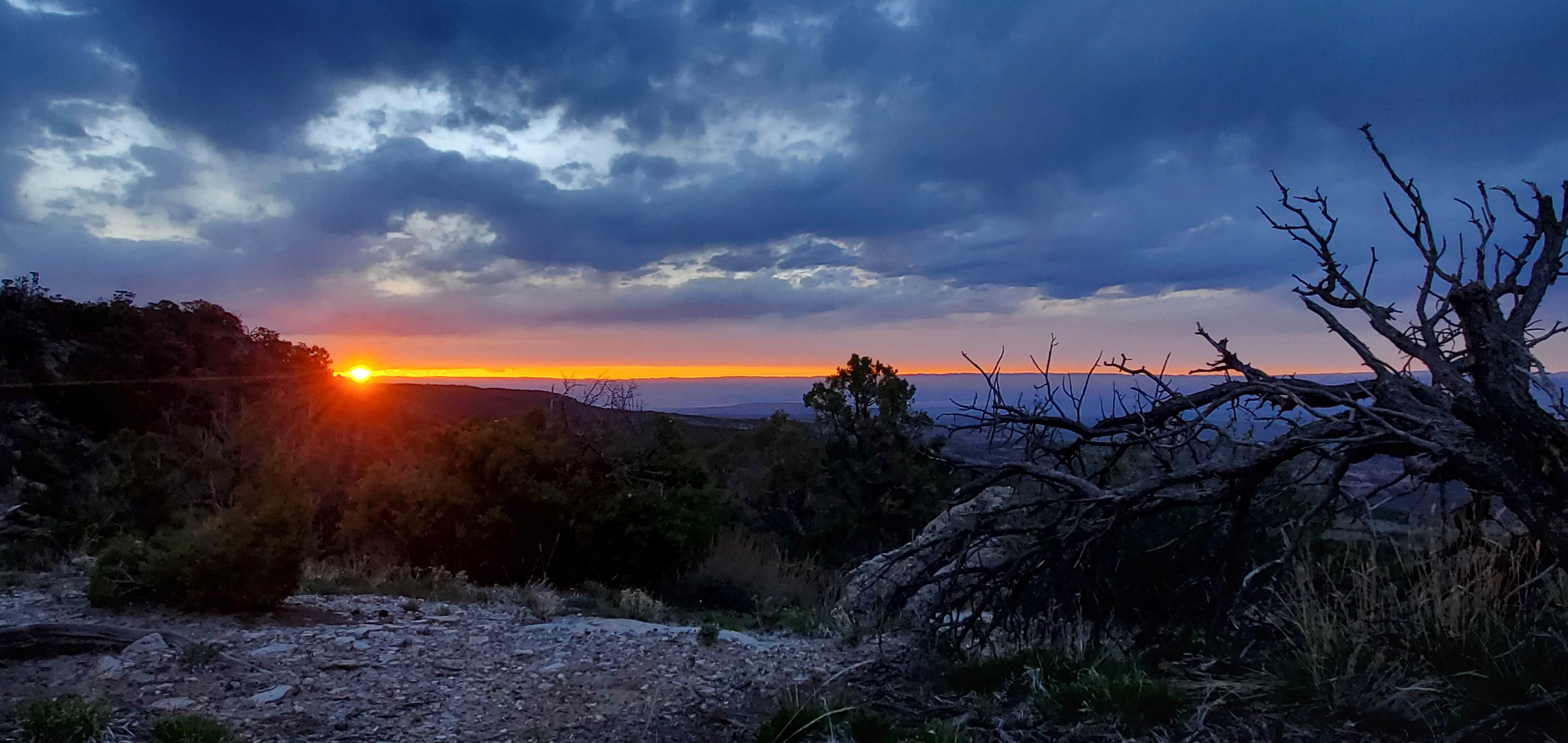
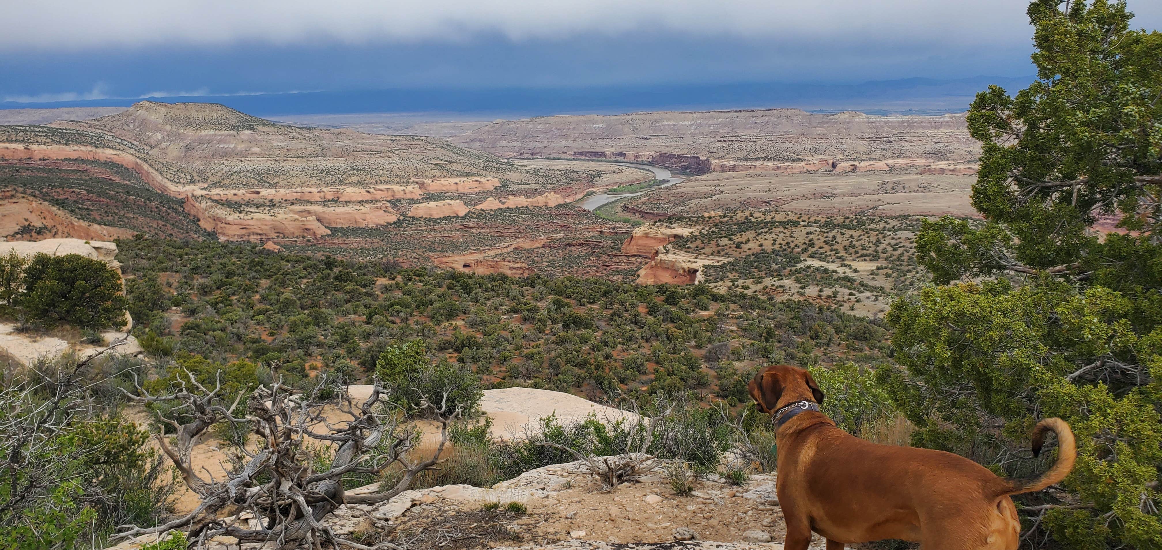
Rattlesnake and Mee Canyons in Colorado offer a landscape of rugged canyons and rocky terrain. Temperatures can range from highs in the 90s during summer to lows in the 20s in winter. Nearby attractions include the Colorado National Monument and the McInnis Canyons National Conservation Area, providing opportunities for hiking and exploring.
Description
Camping is NOT permitted at the Mee Canyon Alcove.
Rattlesnake and Mee Canyon provide outstanding opportunities for solitude and primitive recreation. Geologic features in this area include arches, spires, windows, giant alcoves and desert patina. Between these canyons are pinon-juniper covered mesas which slope downward to the Colorado River. RATTLESNAKE ARCHES: A short section connecting the top of the mesa to the bench below the arches is rocky and steep and requires extra caution - it is not recommended. From the trailhead travel 0.5 miles to an intersection. To the left takes you to an area where you can view the arches from above. To the right takes you to the Lower Arches Trail, which is 5 miles round trip (out and back). In 0.2 miles the trail splits - to the right goes to Pollock Bench Trailhead; stay to the left for the arches trail. Camping is NOT permitted within 1/4 mile of the Rattlesnake Arches Loop and along the access road to the trailhead. MEE CANYON: The trail into Mee Canyon is primitive and only marked with rock cairns. The route steeply descends sandstone layers with exposed cliffs. Camping is NOT permitted at the Mee Canyon Alcove. Leave No Trace principles:
Leave No Trace principles:
- Plan Ahead and Prepare
- Travel and Camp on Durable Surfaces
- Dispose of Waste Properly
- Leave What You Find
- Minimize Campfire Impacts
- Respect Wildlife
- Be Considerate of Other Visitors
Location
Rattlesnake and Mee Canyons is located in Colorado
Directions
From Grand Junction take I-70 west to Fruita (#19). Turn left at the off ramp and follow the signs to Colorado National Monument. Enter the Monument and travel 11 miles to the Glade Park turn off at 16.5 Road on the right. Go 0.2 miles to Black Ridge Access Road on the right (there will be a kiosk and signage for McInnis Canyons National Conservation Area). It is 13 miles to the trailhead. CAUTION: a high clearance vehicle is mandatory and 4-wheel drive is highly recommended. The last 2 miles is very rough. The roads are impassable when wet. Weather permitting: The upper access road is open from April 15 to August 14. The lower road is open from August 15 to February 14. Motorized travel is prohibited from February 15 - April 15. IMPORTANT: the trailhead and trail are day use only. Overnight camping is prohibited. POLLOCK BENCH TRAILHEAD: Rattlesnake Arches can also be accessed from Pollock Bench Trailhead, which is 15 miles round trip (including the lower Rattlesnake Arches Trail).
Coordinates
39.107 N
108.838 W
Connectivity
- T-Mobile5GGood Coverage
- VerizonLTESome Coverage
- AT&T5GExcellent Coverage
Connectivity
- T-Mobile5GGood Coverage
- VerizonLTESome Coverage
- AT&T5GExcellent Coverage
Access
- Walk-InPark in a lot, walk to your site.
- Hike-InBackcountry sites.
Site Types
- Tent Sites
- Dispersed
Features
DISPERSED CAMPING
Enjoy dispersed camping on government land and leave no trace. Pack in and pack out. No (or limited) services at this camping area. Permit may be required.
PERMIT might be REQUIRED
We curate permit requirements across the US for our PRO members. Try PRO to see if Rattlesnake and Mee Canyons needs a permit.
Drive Time
- 1 hr 44 min from Grand Junction, CO
- 5 hrs 4 min from Provo, UT
- 5 hrs 35 min from Salt Lake City, UT
- 5 hrs 55 min from Farmington, NM


