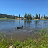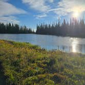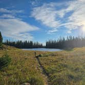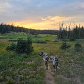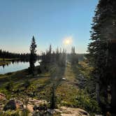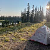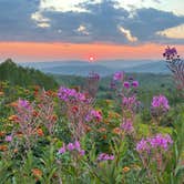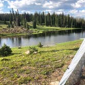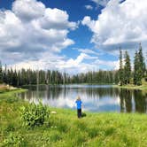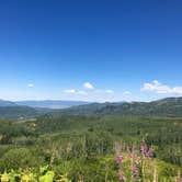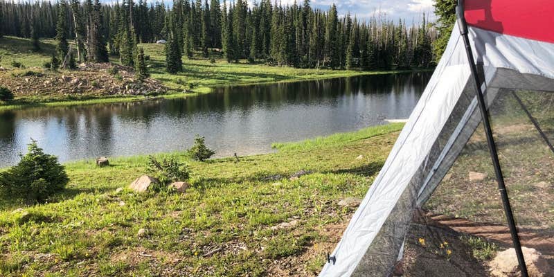
Hiking, mountain biking, and ATV riding all converge at Summit Lake, a US Forest Service campground set within Routt National Forest at elevation near Coalmont, Colorado. The lake sits within open terrain, and several sites look directly out over the water. The campground runs from July through October, and the season reflects the elevation: expect variable conditions even in summer.
Getting here takes more effort than mapping apps suggest. Visitors approaching from Steamboat Springs report a rough, slow road that runs closer to 45 minutes to an hour rather than the 20 minutes Google estimates, and 4x4 clearance is strongly recommended from that direction. The eastern approach is notably better for most vehicles. RVs are limited to 18 feet, and the sites are generally better suited to tents and smaller rigs.
Crowd patterns shift significantly by day of the week. A midweek visit in July found the campground about three-quarters full; weekends draw dirt bikers and ATV riders, which raises the noise level. Ann M. describes it as "well maintained, more suited to car/tent camping," and that assessment holds across multiple reviews. Amenities include toilets, picnic tables, grills, and trash service, but there is no potable water on site. Nearby alternatives include Granite to the south and Buffalo Pass Road Dispersed - Routt NF to the west for campers wanting more solitude. Summit Lake works best for those who plan to spend their days on trails rather than using the campground as a base for town.
Description
Summit Lake Campground generally does not open until Mid July and is located on Buffalo Pass in the Steamboat Springs Area. It provides 9 back-in campsites and 6 walk-in tent sites. Each site has a table and a fire grate, and vault toilets and trash service is offered. Day Use is also obtainable in two parking lots provided for the visitor to use while fishing or picnicking. Only hand powered watercraft are permitted on Summit Lake, with no boat ramp available. This campground provides great opportunities for mountain biking, dirt biking and ATVing, horseback riding, fishing and hiking. It is located near the boundary of Mount Zirkel Wilderness which offers numerous backcountry opportunities. This campground is managed by the Hahns Peak/Bears Ears Ranger District.
RV Road Trip Guides


Map & DirectionsSummit Lake is located in Colorado near Steamboat Springs
 Public Campground
Directions
Directions from Steamboat Springs: Travel 2 miles north of Steamboat Springs on Routt County Road 36 (Strawberry Park Road), then 13 miles northeast on Routt County Road 38 (Buffalo Pass Road). Campground is at the summit.
Coordinates
40.5450005 N
106.68400055 W
Connectivity
 T-MobileNo Coverage
 VerizonLTESome Coverage
- AT&TLTESome CoverageLast on 8/29/26
Connectivity
- T-MobileNo Coverage
- VerizonLTESome Coverage
- AT&TLTESome CoverageLast on 8/29/26
Access
- Drive-InPark next to your site
- Walk-InPark in a lot, walk to your site.
Site Types
- Tent Sites
- RV Sites
- Standard (Tent/RV)
- Group
Features
For Campers
- Trash
- Picnic Table
- Toilets
- Alcohol
- Pets
- Fires
Drive Time
- 2 hrs 36 min from Cheyenne, WY
- 2 hrs 53 min from Fort Collins, CO
- 3 hrs 12 min from Boulder, CO
- 3 hrs 18 min from Greeley, CO