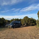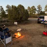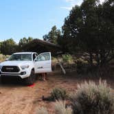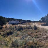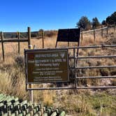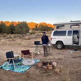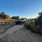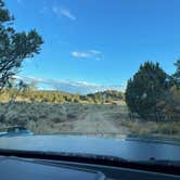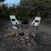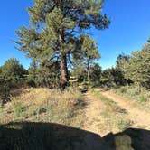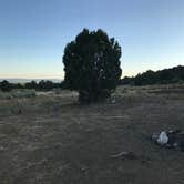
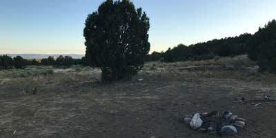
Hiking around the high desert plains southwest of Durango gives campers a practical reason to base themselves at this free BLM dispersed area along Highway 160, where roughly ten established fire rings are spread across open terrain off Silver Hills Road. The main road in is gravel and navigable by most vehicles, including low-clearance sedans, though the side roads get progressively rougher and may require higher clearance after rain. Sites are spread far enough apart that neighboring campers rarely feel close.
Noise is worth factoring into your site choice. A pumping station operates somewhere further along the main road, and Kaltra B. notes you "can hear highway noise" from spots near the front. Reviewers consistently suggest the middle sites offer the best balance: far enough from the highway and pump jacks to reduce ambient sound, while still accessible without heavy-duty clearance. Cattle wander through at night, and coyotes have been reported in the area, neither of which is unusual for open BLM rangeland in southwest Colorado.
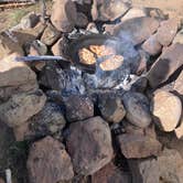
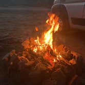
Cell coverage is a genuine draw here. Multiple campers with AT&T report 5G signal, and overall phone and internet connectivity gets consistently positive marks. No water, restrooms, or hookups are available. Pack in everything and pack it out. Fires are permitted and most established sites already have rock rings in place.
Timing matters. The area fills up during summer weekends, particularly around holidays. "Arrived around 8pm on the weekend after July 4th and snagged the last empty spot," notes David B. Off-season visits in September and October have consistently turned up available spots. Navigation apps sometimes route campers through residential roads, so most reviewers recommend staying on Highway 160 to mile marker 97 and turning right there. Campers wanting a more developed setup nearby can check out Durfield Dispersed Camping just to the southeast, or browse campgrounds around Bayfield for additional free and low-cost options in the area.
Description
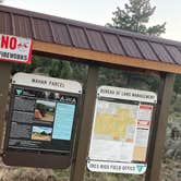
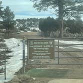
The Durango Special Recreation Management Area is comprised of isolated parcels of Public Lands surrounding Durango Colorado. Durango SRMA includes five discontinuous units that encompass 6,300 acres of land adjoining the town of Durango offering a wide range of recreational activities with plenty of hiking and mountain biking trails. Mountain bikes can be rented at shops in town.
RV Road Trip Guides


Map & DirectionsBayfield/Durango Dispersed Camping is located in Colorado near Bayfield
 Dispersed Camping
Directions
Durango is located in Southwest Colorado along the flanks of the San Juan Mountains.
Coordinates
37.2265469 N
107.6951186 W
Connectivity
 T-Mobile5GExcellent CoverageVerified by 13 usersLast on 9/22/26
 VerizonLTEGood CoverageVerified by 44 usersLast on 9/22/26
- AT&T5GExcellent CoverageVerified by 1 userLast on 9/22/26
Connectivity
- T-Mobile5GExcellent CoverageVerified by 13 usersLast on 9/22/26
- VerizonLTEGood CoverageVerified by 44 usersLast on 9/22/26
- AT&T5GExcellent CoverageVerified by 1 userLast on 9/22/26
Access
- Drive-InPark next to your site
Site Types
- Tent Sites
- RV Sites
- Standard (Tent/RV)
- Dispersed
Features
For Campers
- Phone Service
- Alcohol
- Pets
- Fires
For Vehicles
- Pull-Through Sites
- Big Rig Friendly
DISPERSED CAMPING
Enjoy dispersed camping on government land and leave no trace. Pack in and pack out. No (or limited) services at this camping area. Permit may be required.
PERMIT might be REQUIRED
We curate permit requirements across the US for our PRO members. Try PRO to see if Bayfield/Durango Dispersed Camping needs a permit.
Drive Time
- 55 min from Farmington, NM
- 3 hrs 20 min from Santa Fe, NM
- 3 hrs 20 min from Albuquerque, NM
- 4 hrs 17 min from Grand Junction, CO