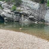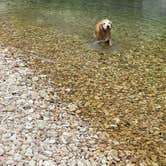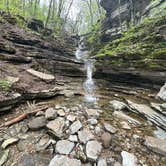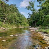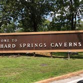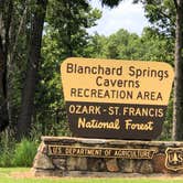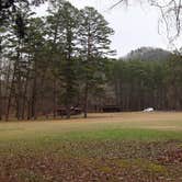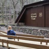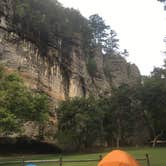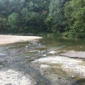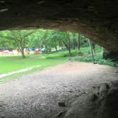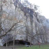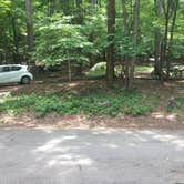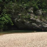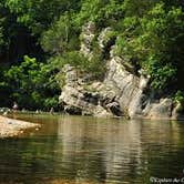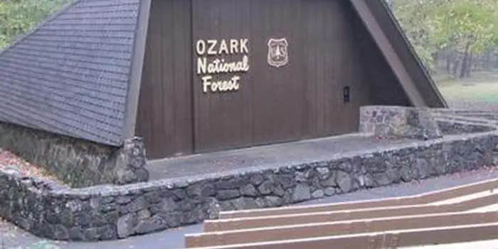
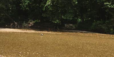
Swimming and tubing in Sylamore Creek draw campers to Blanchard Springs Recreation Area, where sites sit close enough to the water that, as Brandie D. puts it, you can "walk and tube Sylamore Creek from right next to your campsite." The campground sits within Ozark National Forest near Mountain View, Arkansas, and the creek access is genuinely central to the experience rather than incidental to it. A rock bluff on the far bank creates a swimming hole deep enough for jumping, and anglers have access to the White River downstream via Sylamore Creek.
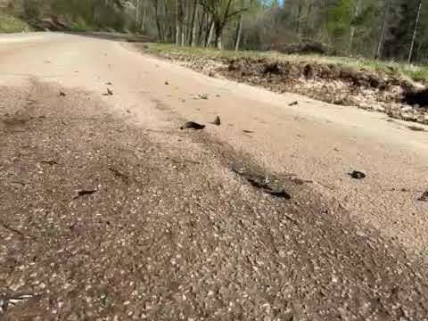
Getting in requires crossing a low-water concrete bridge where the creek flows directly over the road surface. High water closes the campground entirely, so checking conditions before the drive matters. The road down is steep, and the Forest Service caps RV length at 25 feet. No cell service reaches the campground, so plan accordingly.
Sites come with fire rings, lantern hooks, picnic tables, and camping pads, with water spigots shared among nearby sites. One bathroom with flush toilets and running water serves the main loop. A single site has electric hookups; most are non-electric. The campground also has a dump station. "Clean campgrounds," notes Chris D., though generators are permitted, which affects noise levels. Group sites require reservations for parties of 8 to 50.
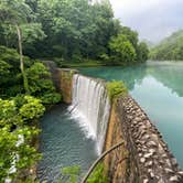
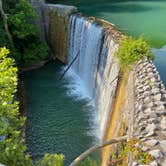
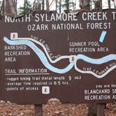
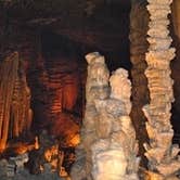
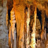
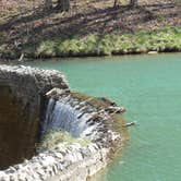
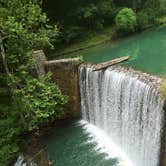
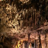
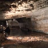
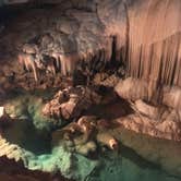
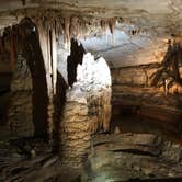
Beyond the creek, a trailhead at the campground connects to the North Sylamore Creek Hiking Trail, which links into a network of over 50 miles of trails. Blanchard Springs Caverns, when open, offers guided tours with paved walkways and elevators as well as more rugged off-trail options. Mirror Lake, created by a CCC-built dam, sits nearby along with the remains of an old mill. Summer brings warmth and ticks; spring and fall see lighter crowds and more moderate temperatures.
Campers wanting more dispersed options nearby can look at Ozark NF Dispersed near Blanchard Spring for a less developed alternative a short distance south.
Description
Overview
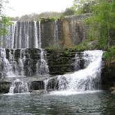
Blanchard Springs Recreation Area is located in the scenic Ozark National Forest. The Ozark Mountains are known for beautiful "rolling" hills, hidden caverns, waterfalls and clear flowing streams. Examples of early Ozark culture and music can be found throughout the region. Blanchard recreation area is a great starting point for an Ozark adventure.
Recreation
Trout fishing is available on nearby Mirror Lake. Other popular activities in the Blanchard area include mountain biking, hiking and swimming.
Facilities
The campgrounds offer a variety of campsites to accommodate all types of visitors, including group and single campsites. All sites are equipped with tables, grills and campfire rings. Individual sites are on a first come, first served basis. The individual sites are open except when there is high water. To check campground status, call 870 757 2211. The picnic shelters have grills and ample picnic tables for groups. Flush toilets and drinking water are provided.
Natural Features
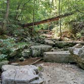
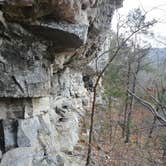
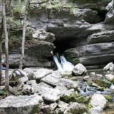
The facilities are near picturesque rock bluffs and crystal clear streams. Sites are well shaded by stately yellow pine trees.
Nearby Attractions
Blanchard Springs Caverns offers tours, exhibits and family activities. North Sylamore hiking trail follows the scenic Sylamore creek for 25 miles and connects to the Ozark Highland trail. Mountain biking is available on 50 miles of the Syllamo Mountain Bike Trail.
Warning 3 Alerts are In Effect
There are 3 alerts for this campground. Camp safely!
Warning 3 Alerts are In Effect
There are 3 alerts for this campground. Camp safely!
To facilitate the GAOA Blanchard Sewer Line Replacement Project, Blanchard Campground and Day-Use Area will be closed to the public November 2, 2026 through February 28, 2027. The tentative reopening date for these areas will be March 1, 2027. The project will replace a section of the Blanchard Springs Recreation Area sewer collection system providing for full functionality, eliminating deferred maintenance, and improving resiliency to extreme weather and flood events. Pressure sewer lines will be directionally drilled under North Sylamore Creek to prevent freezing and damage from floating debris. Gravity sewer lines will be replaced, or lined, and two pressure sewage lift stations will be fully rehabbed.
Blanchard Springs Caverns and Blanchard Springs Recreation Area are currently transitioning into the Arkansas State Park system. The official date for this transition, or reopening of facilities, has not been determined at this time.
Blanchard Springs Campground and Day Use Area are currently closed for safety and health considerations. Critical infrastructure repairs are being conducted due to a flooding event in 2025. An official reopening date has not been determined, but repairs are anticipated to begin soon.
RV Road Trip Guides

Map & DirectionsBlanchard Springs Recreation Area is located in Arkansas near Fifty-Six
 Public Campground
Directions
From Mountain View, take Highway 5-9-14 north for 5 miles to Allison. At Allison, take Highway 14 west for 8 miles toward the town of Fifty Six. Turn right at the Blanchard Springs Recreation Area sign. Be sure to bring a map, GPS directions have led many visitors off-course.
Address
1001 East Main St
Mountain view, AR 72560
Coordinates
35.9743806 N
92.1772 W
Connectivity
 T-MobileNo Coverage
 VerizonLTESome Coverage
- AT&TNo Coverage
Connectivity
- T-MobileNo Coverage
- VerizonLTESome Coverage
- AT&TNo Coverage
Access
- Drive-InPark next to your site
- Walk-InPark in a lot, walk to your site.
Site Types
- Tent Sites
- RV Sites
- Group
Features
For Campers
- Picnic Table
- Reservable
- Electric Hookups
- Pets
- Fires
For Vehicles
- Sanitary Dump
- Water Hookups
- Pull-Through Sites
Drive Time
- 2 hrs 7 min from Little Rock, AR
- 2 hrs 9 min from Jonesboro, AR
- 2 hrs 39 min from Springfield, MO
- 2 hrs 53 min from Fayetteville, AR