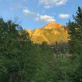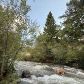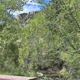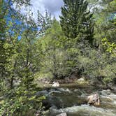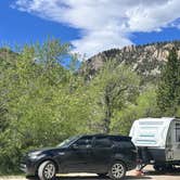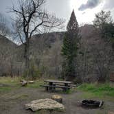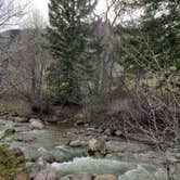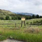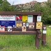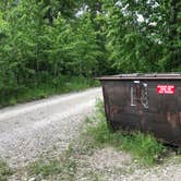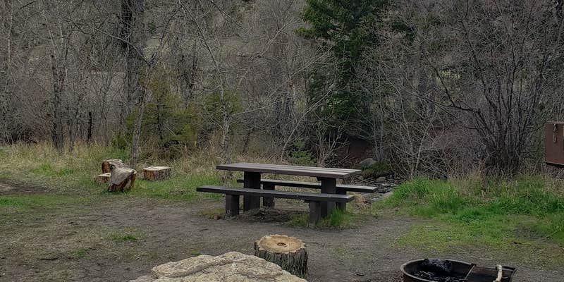
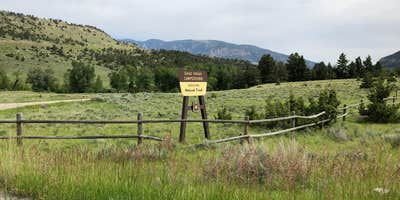
Reservations are available at this 10-site Forest Service campground along the Chief Joseph Scenic Highway, and sites accommodate RVs up to 32 feet, though reviewers flag rough road access and advise smaller rigs. The campground sits in open terrain in Shoshone National Forest, with a creek running through the middle that splits the sites into two distinct sections. Five sites sit on each side, with the campground host and trash bins located on the Cody-facing side. One walk-in site is reserved for tenters looking for added separation from the road.
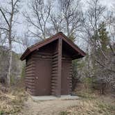
Road noise is a consistent reality here. The main highway passes close, and several reviewers note it clearly. The creek helps mask some of that sound, and sites nearest the water offer the most buffer. No potable water is available on-site, so campers should bring their own or treat water from the creek. Vault toilets on both sides of the campground are consistently reported as clean, and bear boxes are in place, which matters given that this is confirmed grizzly territory.
Hiking trails branch off in both directions from the campground road, one heading into a canyon that follows the historic route Chief Joseph and the Nez Perce traveled, and another leading into open meadows. The $15 nightly fee goes to the US Forest Service, and the site fills slowly enough that several recent visitors arrived to find themselves the only campers. Campers wanting dispersed alternatives nearby can look at Dead Indian Pass Area Dispersed -- Shoshone NF or Hogan and Luce Campground to the east.
Description
This campground hosts 10 campsites and a trailhead across State Highway 296. The trail climbs along Dead Indian Creek, through the Absaroka Wilderness, across Dead Indian Meadows, and up to the summit of Dead Indian Peak. 16-day stay limit Water: Not available This site is not accessible to persons with mobility impairments No cell service Notes: Adjacent corrals at trailhead across Hwy 296. Maximum spur 32 feet.
RV Road Trip Guides

Map & DirectionsDead Indian Campground is located in Wyoming near Wapiti
 Public Campground
Directions
From Cody, travel north on State Highway 120 for 16 miles. Turn left (west) on Chief Joseph Scenic Highway (State Highway 296). Travel west about 16 miles to the campground. Be advised, steep switchbacks.
Coordinates
44.75303056 N
109.41703936 W
Connectivity
 T-MobileNo Coverage
- VerizonNo Coverage
 AT&T5GGood CoverageLast on 8/1/25
Connectivity
- T-MobileNo Coverage
- VerizonNo Coverage
- AT&T5GGood CoverageLast on 8/1/25
Access
- Drive-InPark next to your site
- Walk-InPark in a lot, walk to your site.
- Boat-InSites accessible by watercraft.
Site Types
- Tent Sites
- RV Sites
- Standard (Tent/RV)
- Group
- Tent Cabin
Features
For Campers
- ADA Access
- Trash
- Picnic Table
- Phone Service
- Reservable
- Toilets
- Alcohol
- Pets
- Fires
Drive Time
- 1 hr 54 min from Billings, MT
- 3 hrs 10 min from Bozeman, MT
- 4 hrs 34 min from Helena, MT
- 6 hrs 23 min from Idaho Falls, ID