Public Campground
Denny Creek Campground
Warning 1 Alert is In Effect
There is 1 alert for this campground. Camp safely!
Warning 1 Alert is In Effect
There is 1 alert for this campground. Camp safely!
Riverside campsites in this facility may have been impacted by recent flood events. Campsite availability will be updated as facilities are assessed.
Denny Creek Campground, near Snoqualmie Pass, Washington, is a solid choice for those looking to escape the city without straying too far from Seattle. This spot is perfect for campers who want to enjoy the great outdoors while still having access to some basic amenities like picnic tables and fire rings.
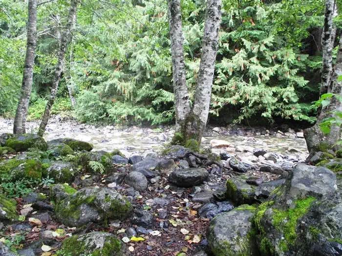
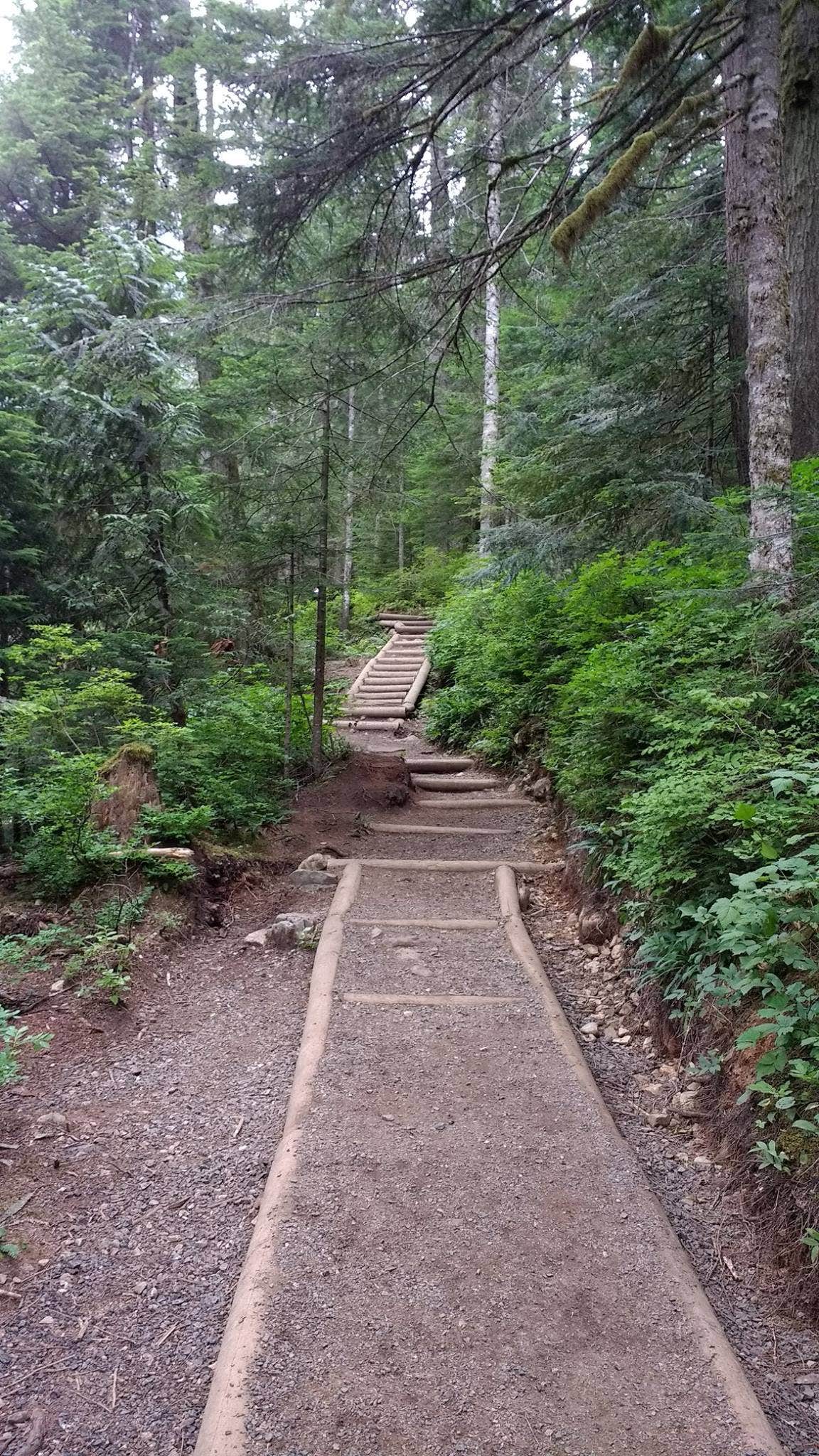
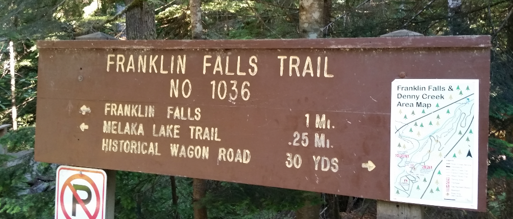
The campground is surrounded by lush forest and offers direct access to Denny Creek, making it a great place to cool off or just relax by the water. Many visitors have enjoyed the nearby hiking trails, especially the popular route to Franklin Falls, which is just a short trek away. As one camper noted, “It’s a good spot for hikers to get to all the other places to go hike.”
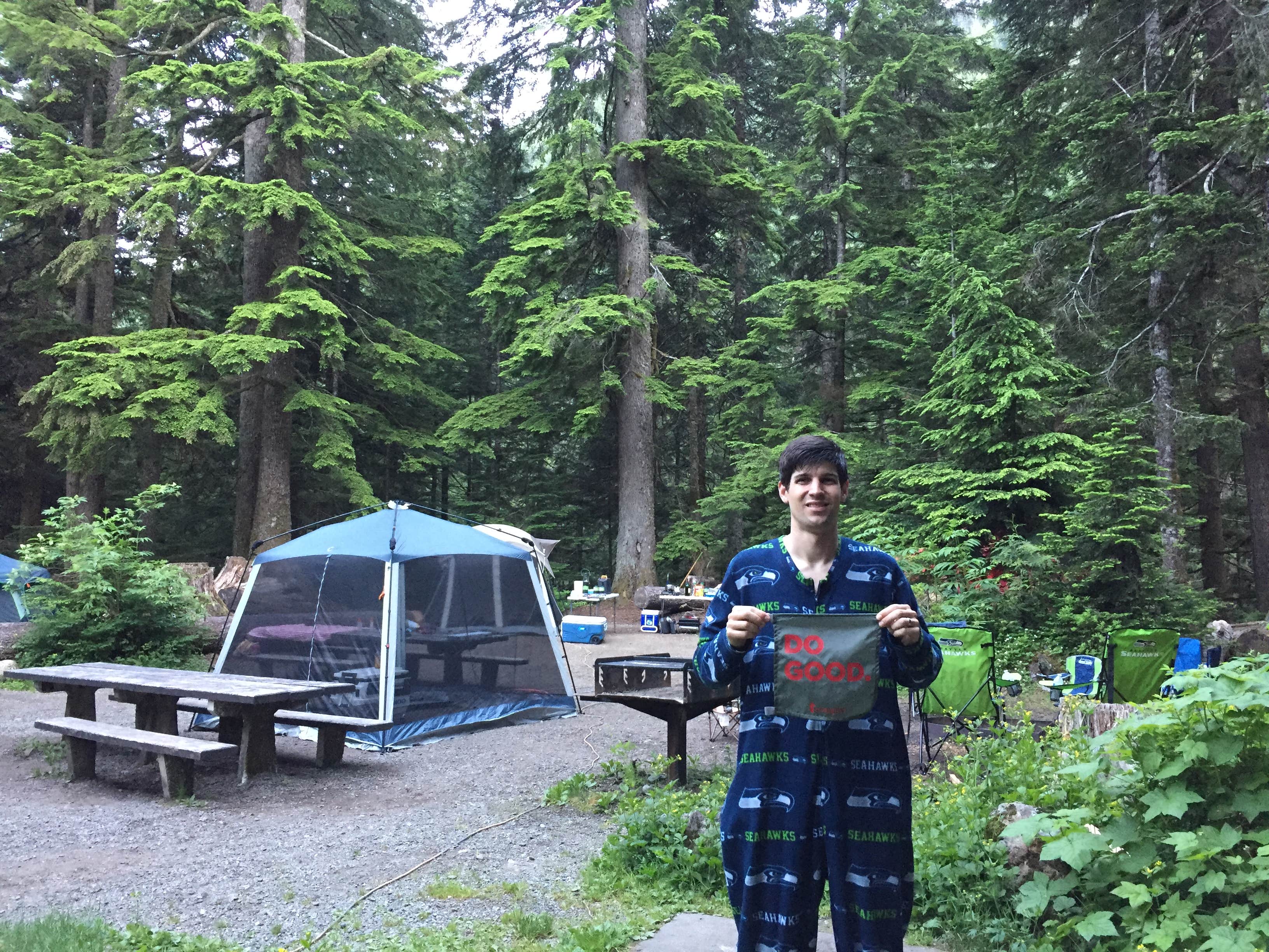
While the campground can get crowded, especially on weekends, it still maintains a nice forested feel. Some campers mentioned that the sites are a bit close together, but the overall atmosphere remains friendly and welcoming. With flush toilets and clean facilities, you’ll find it easy to settle in after a day of exploring.
If you’re planning a trip, keep in mind that the campground is only open from mid-May to the end of September. So, grab your gear and get ready for a weekend of hiking, campfires, and enjoying the beauty of the Pacific Northwest!
Description
Overview
Situated near the south fork of the Snoqualmie River in Mt. Baker-Snoqualmie National Forest, Denny Creek Campground offers visitors stunning scenery and easy access to an abundance of recreational activities in the Northern Cascade Range. Campsites sit beneath a canopy of forest, and a few are sprinkled at the banks of Lodge Creek, which flows into the Snoqualmie.
Recreation
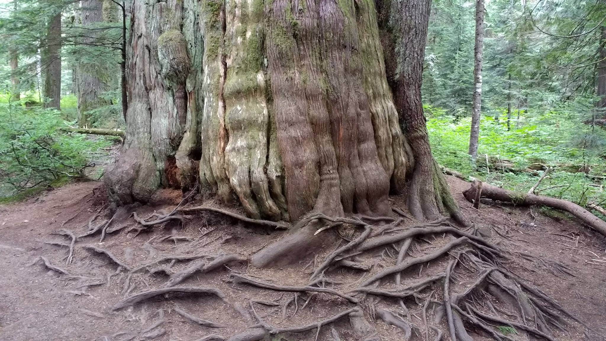
In addition to being a prime location for hiking, fishing, picnicking and horseback riding in summer and early fall, Denny Creek offers excellent skiing and snowshoeing in the winter months. The Asahel Curtis Nature Trail, named for one of Washington's most renowned nature photographers, is located nearby. This trail is a short, easy walk through one of the last remaining stands of old growth forest in the Snoqualmie Valley. The trail crosses Humpback Creek several times before rising gently into a grove of mature Douglas-fir, western hemlock and western red cedar. Mosses, ferns, orchids and a large variety of other wildflowers abound on the forest floor.
Facilities
Denny Creek Campground offers 24 reservable campsites, including one group site. Picnic tables, flush toilets and drinking water are also available, as well as electrical hook-ups at a handful of sites.
Natural Features
Hemmed in by several designated wilderness areas, this national forest showcases rugged peaks, sparkling alpine lakes and old-growth forests, providing visitors with a variety of scenic landscapes. On a clear day visitors can spot Mt. Baker, the most prominent feature of the Mt. Baker Wilderness Area. Rising to an elevation of 10,781 feet, this active volcano is perpetually snow-capped and mantled with an extensive network of creeping glaciers. Mt. Baker's summit, Grant Peak, is actually a 1,300-foot-deep mound of ice, which hides a massive volcanic crater. Wildlife in the area include mountain goats, coyotes, pine marten and a variety of migratory birds and native fish.
Contact Info
For facility specific information, please call (530) 932-0242.
Nearby Attractions
Denny Creek Road, a historic wagon route used by early settlers to cross Snoqualmie Pass, can be accessed from milepost 47. The Verlot Public Service Center, near the South Fork Stillaguamish River, was built by the Civilian Conservation Corps from 1933 to 1942. Verlot`s handsome buildings reflect the architectural style and fine craftsmanship of the era and are listed on the National Register of Historic Places.
Charges & Cancellations
Once your reservation start date has begun, neither the Recreation.gov Contact Center nor the campground manager will be able to modify your reservation.
Location
Denny Creek Campground is located in Washington
Directions
From Seattle, take Interstate 90 east to exit 47. Go north over the freeway and follow signs 3 miles to campground.
Coordinates
47.412132 N
121.442183 W
Connectivity
- T-Mobile5GExcellent CoverageVerified by 4 usersLast on 2/4/26
- VerizonLTEGood CoverageVerified by 24 usersLast on 2/4/26
- AT&TLTESome CoverageVerified by 8 usersLast on 2/4/26
Connectivity
- T-Mobile5GExcellent CoverageVerified by 4 usersLast on 2/4/26
- VerizonLTEGood CoverageVerified by 24 usersLast on 2/4/26
- AT&TLTESome CoverageVerified by 8 usersLast on 2/4/26
Access
- Drive-InPark next to your site
Site Types
- Tent Sites
- RV Sites
- Standard (Tent/RV)
- Group
Features
For Campers
- Trash
- Picnic Table
- Firewood Available
- Phone Service
- Reservable
- Drinking Water
- Electric Hookups
- Toilets
- Alcohol
- Pets
- Fires
For Vehicles
- Pull-Through Sites
- 30 Amp Hookups
- Big Rig Friendly
Drive Time
- 43 min from Seattle, WA
- 1 hr 23 min from Bremerton, WA
- 1 hr 32 min from Yakima, WA
- 1 hr 44 min from Wenatchee, WA

