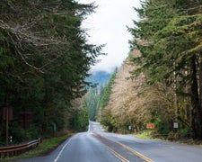
The five-mile hike into Carbon River Camp eliminates most crowds, creating a quiet backcountry experience within Mount Rainier National Park. Campers follow a combination of old road and replacement trail where the Carbon River has washed out vehicle access, with the route staying close to the river for most of the journey.
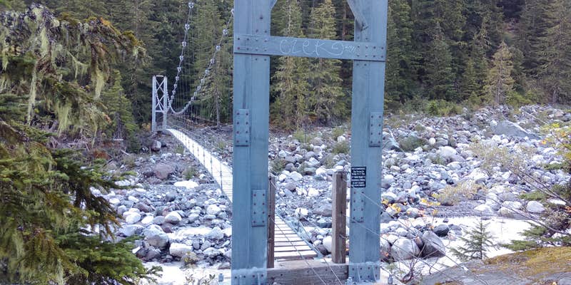
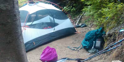
Sites spread across the hillside provide natural separation, with some positioned high enough to offer two tent spots. A log bridge crosses the stream for water access, though all water requires filtering. The suspension bridge over the Carbon River connects to trails leading to the lowest glacier in the lower 48. For those seeking more tent sites around Mount Rainier National Park, this hike-in location rewards the effort with solitude and direct trail access.
Description
Part of the Northern Loop Trail in Mount Rainier National Park.
RV Road Trip Guides

Map & DirectionsCarbon River Camp is located in Washington near Mount Rainier National Park
Coordinates
46.94970652 N
121.79443427 W
Connectivity
 T-MobileNo Coverage
- VerizonNo Coverage
- AT&TNo Coverage
Connectivity
- T-MobileNo Coverage
- VerizonNo Coverage
- AT&TNo Coverage
Access
- Walk-InPark in a lot, walk to your site.
- Hike-InBackcountry sites.
Site Types
- Tent Sites
- Group
Features
For Campers
- Reservable
- Toilets
Drive Time
- 1 hr 27 min from Seattle, WA
- 1 hr 29 min from Olympia, WA
- 1 hr 35 min from Bremerton, WA
- 3 hrs 12 min from Yakima, WA


