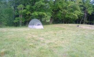
Tent camping near Beebe Plain, Vermont frequently offers prime access to the Connecticut River watershed. The region sits within the Northern Vermont Piedmont biophysical region, with an average elevation of 1,000-2,000 feet. Most campsites operate from late May through mid-October, closing during the colder months when temperatures regularly drop below freezing.
What to do
Paddling access: Doe Canoe Camp offers direct entry to the upper Missisquoi River. Paddlers can reach multiple dispersed sites along the Connecticut River Paddlers Trail, creating opportunities for multi-day river trips.
Mountain hiking: Camp at Underhill State Park Campground for immediate trail access. "About a .3 mile hike to the main trail to climb the mountain. The camp sites are nice but a little close together," notes camper Sam T. This park serves as a gateway to Mount Mansfield trails.
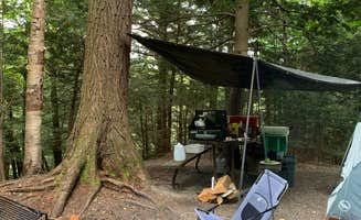
Fishing spots: Scott C. Devlin Memorial provides riverside fishing access. "It is well maintained and tucked on a knoll in a pine forest. There is a picnic table, fire ring and composting toilet box seat," writes Sarah C., who warns about the "tricky loading and unloading on the water."
What campers like
Paddling-only privacy: Green River Reservoir State Park Campground maintains its remote character through boat-in requirements. Tara S. explains, "There are 27 campsites and two group campsites. Most sites are within a mile of the boat launch, a few require closer to a 2-mile paddle. Each campsite includes a fire pit and access to an outhouse."
Riverbank relaxation: Tent campers appreciate the quiet setting at Maine Railroad Trestle. "There are several sites available here and a really nice rocky beach with easy access for loading and unloading. It's also a nice spot to fish from," writes Sarah C., though she warns about potential ATV traffic and ticks in nearby fields.
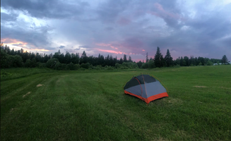
Woodland solitude: Visitors to Serenity Field value its secluded location. "Semi private tent only camping in a beautiful field! Can pull your car right up to the site. Super quiet and secluded. Literally feet away from kingdom trails," reports Matt H.
What you should know
Seasonal considerations: Most tent sites close by mid-October. Underhill State Park operates "Memorial Day weekend to October 16," while Green River Reservoir runs "May 19 to Columbus Day weekend."
Wildlife awareness: Ticks present a consistent challenge across multiple sites. At Scott C. Devlin Memorial, Sarah C. advises, "Beware the ticks! They weren't the worst I've seen, but they are definitely around."
Water sources: Black Creek Maple's Nature Escape provides clean water access. "Clean water, fire wood and cooking rack are provided for your first night. There's extra fire wood for sale along with a sink to do dishes," explains Evan M.
Tips for camping with families
Kid-friendly sites: Underhill State Park offers a balance of comfort and wilderness. Ali T. shares, "This is the best of car camping - you get the feel of really being out in the woods, with your car a short distance away. They provide wheelbarrows for easy moving of your stuff."
Water safety: When paddling to Green River Reservoir sites, prepare for varying conditions. Tara S. recommends, "Be sure to paddle out to the Beaver Meadow - we have seen moose there several times."
Tent selection: At Lyman Falls State Park Campground, Sarah C. notes, "Each site has enough flat space to pitch a couple of tents (anywhere from 2 to 5 depending on which site). One site has a picnic table and they all have fire rings."
Tips from RVers
Limited RV options: Most tent camping areas near Beebe Plain restrict vehicle access. Only select sites permit RVs, and these typically offer primitive conditions without hookups.
Parking logistics: At Underhill State Park, vehicles remain separated from camping areas. "They ask that you limit your driving on the path to the site - so we were sure to go into town to get all we needed before we settled into camp," advises Molly G.
Access roads: When approaching Lyman Falls, Sarah C. explains, "You can access the camping area via VT102 but there is no signage so having a Vermont Atlas is most helpful."


 Legend