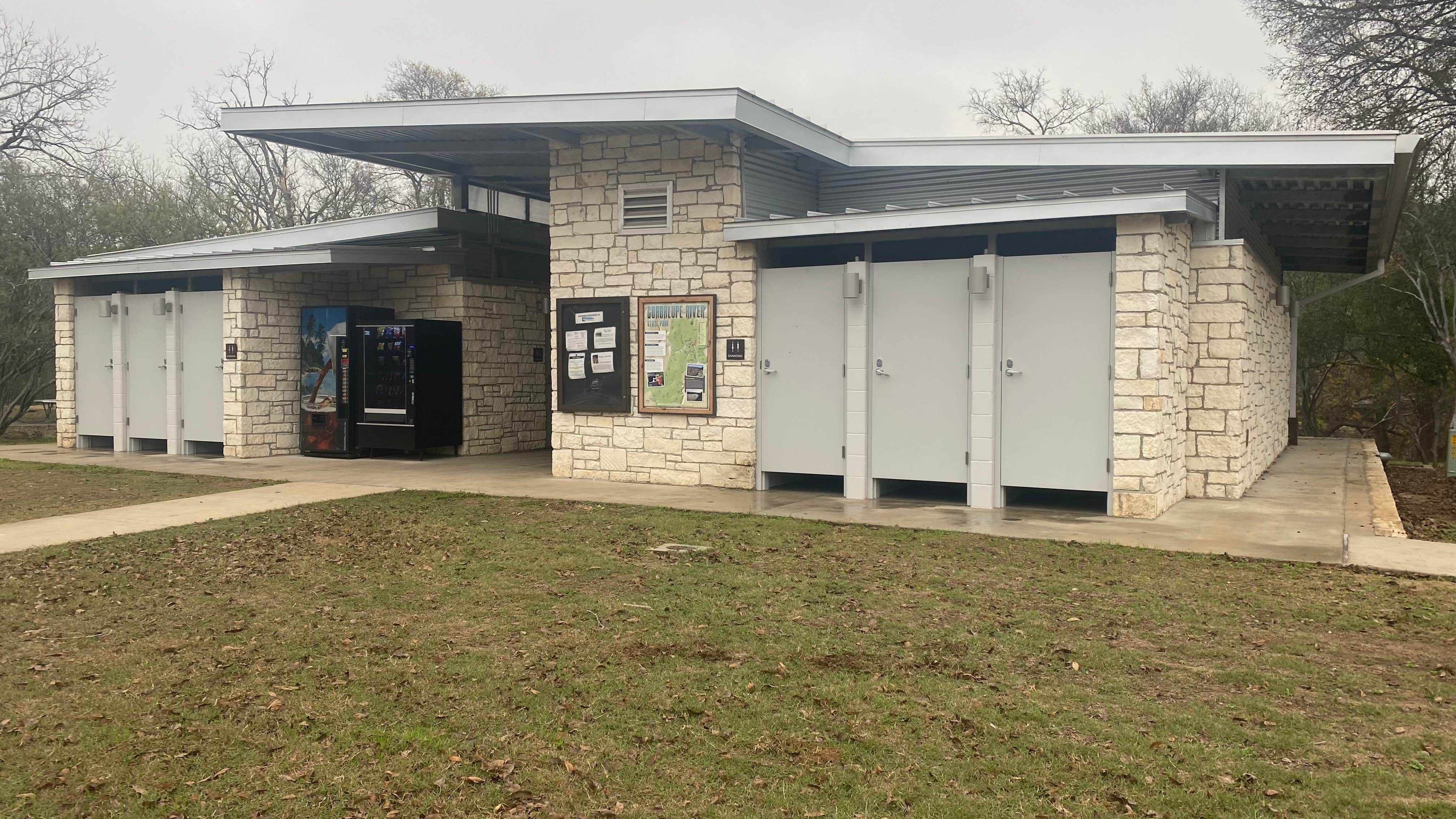
Public Campground
Cedar Sage Camping Area — Guadalupe River State Park
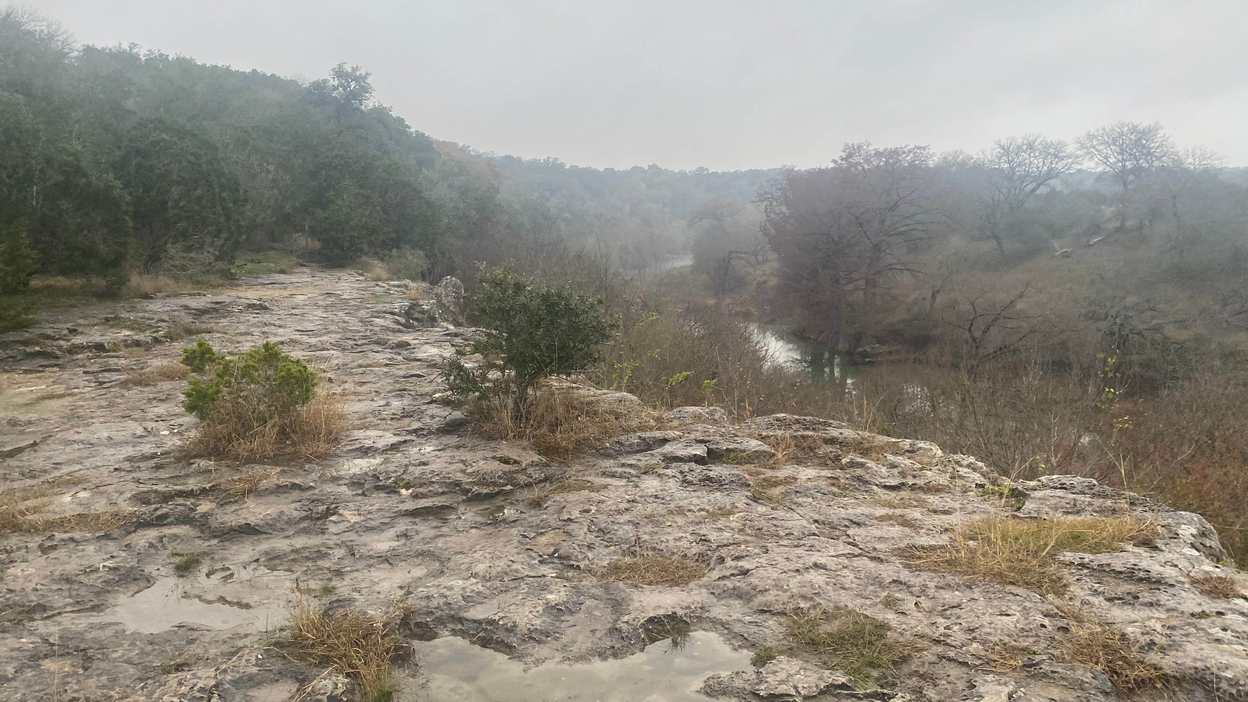
Cedar Sage Camping Area in Guadalupe River State Park is surrounded by rolling hills and dense woodlands. Temperatures range from the 40s in winter to the 90s in summer. Campers can explore the Guadalupe River, enjoy hiking trails, or visit nearby attractions like the Natural Bridge Caverns.
Description
Many folks come here to swim, but the park is more than a great swimming hole. Beautiful scenery and colorful history await, just a short drive from San Antonio and Austin.
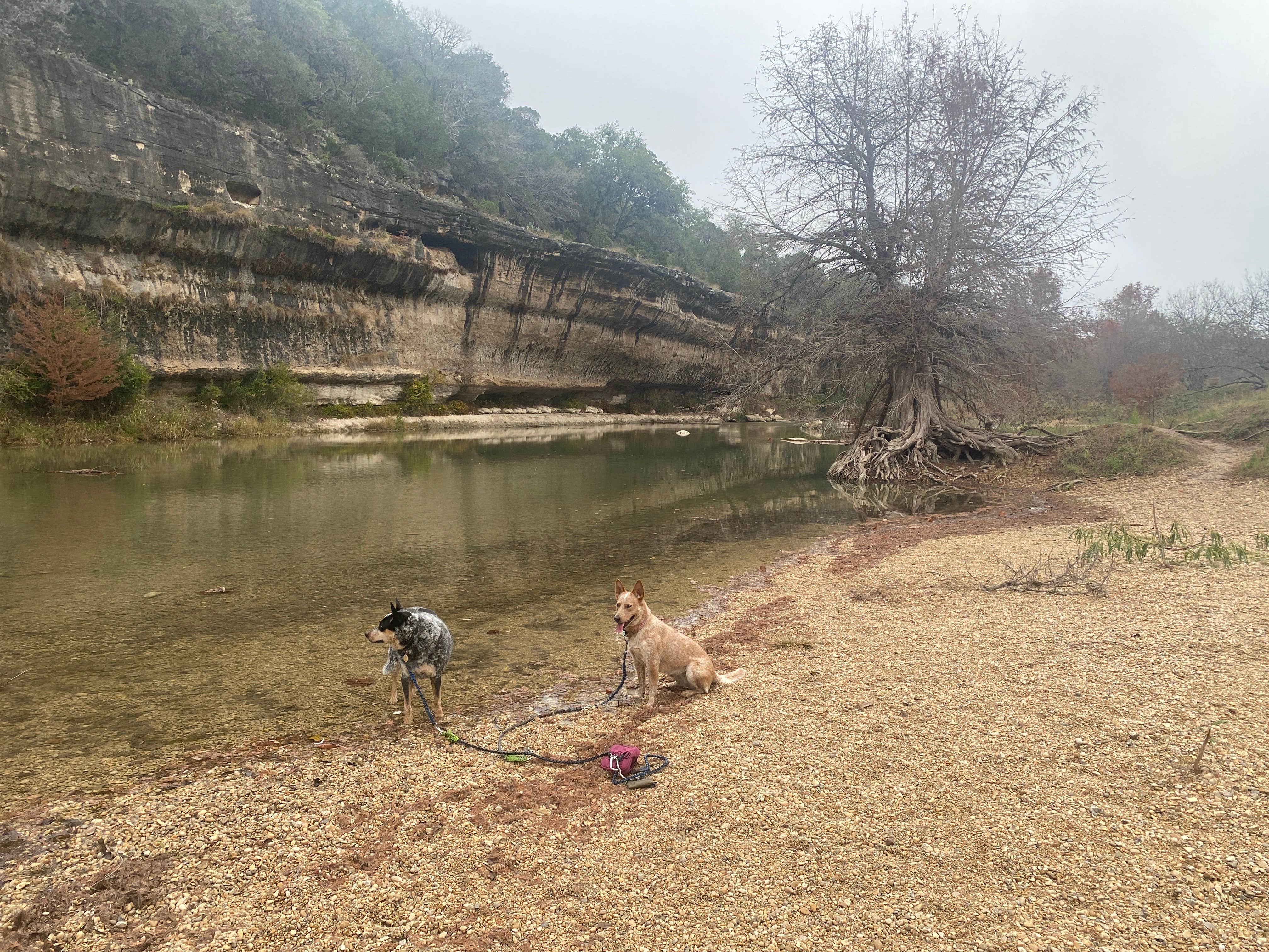
Things to Do With four miles of river frontage, the Guadalupe River takes center stage at the park. Step away from the river to find the more peaceful areas.
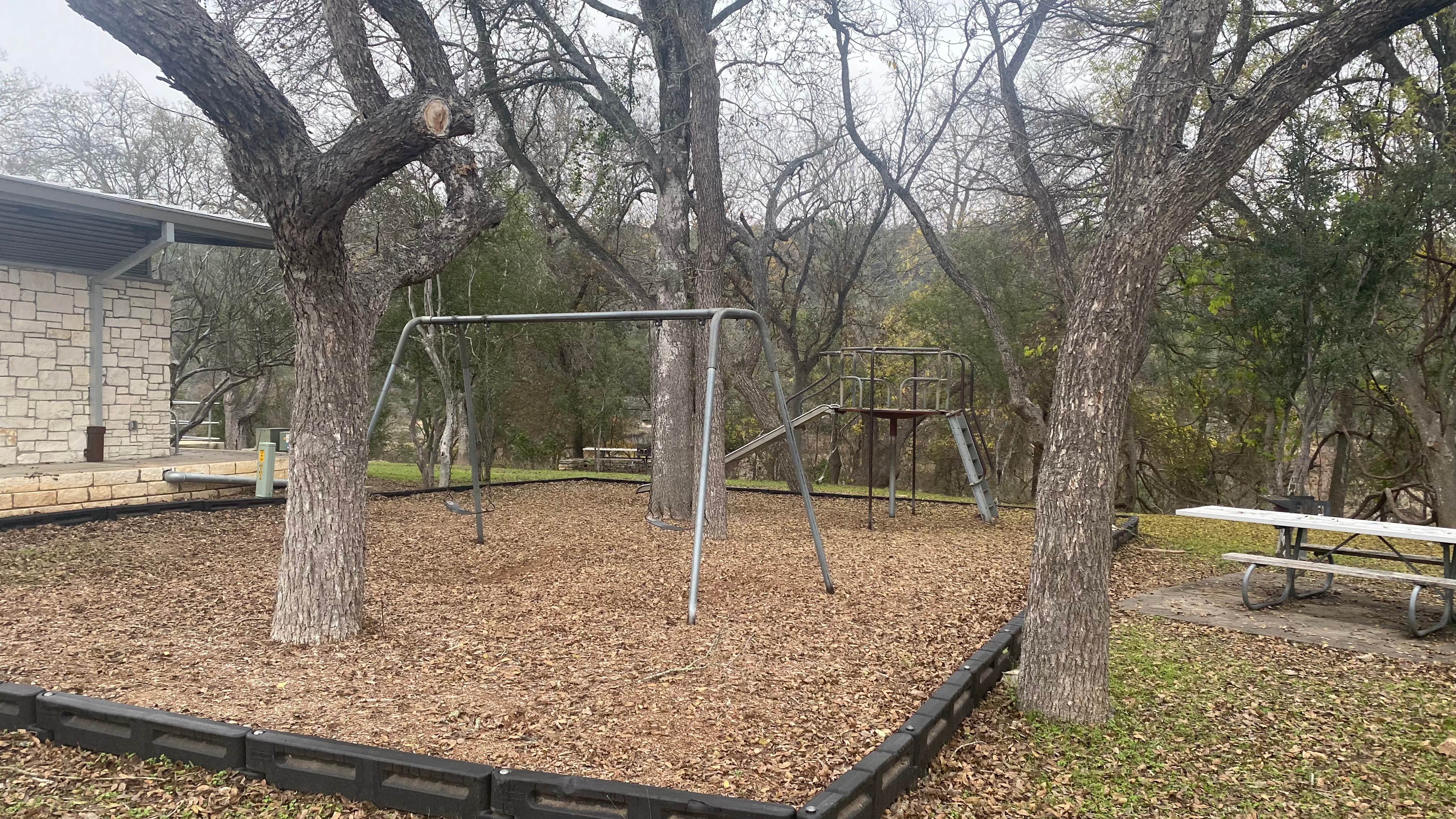
On the river, you can swim, fish, tube and canoe. While on land, you can camp, hike, ride mountain bikes or horses, picnic, geocache, and bird watch. We loan fishing gear for use in the park.
Camp at one of 85 water and electric campsites or nine walk-in tent sites.
Location
Cedar Sage Camping Area — Guadalupe River State Park is located in Texas
Directions
From San Antonio: Take Hwy 281 north 20 miles to Hwy 46. Then west 7 miles to Park Rd 31. Right on Park Rd 31, 3 miles to the Park. From Austin: IH 35 south to New Braunfels. Exit on Hwy 46 West toward Boerne. This is also Loop 337. Go 5 miles, turn right on Hwy 46 West ramp; go 27 miles. Turn right on Park Road 31, go 3 miles to the Park. Directions to the Bauer Unit: Turn right onto Hwy. 46 from Park Road 31. Go 3 miles and turn right on FM 3351. Go about 3.5 miles and turn right on Edge Falls Road. Continue for 2.4 miles and turn right on Acker Road. Go 2.2 miles to entrance.
Address
3350 PARK ROAD 31
Spring Branch, TX 78070
Coordinates
29.85877606 N
98.49053867 W
Connectivity
- T-MobileLTESome Coverage
- Verizon5GGood CoverageVerified by 2 usersLast on 2/4/26
- AT&T5GExcellent Coverage
Connectivity
- T-MobileLTESome Coverage
- Verizon5GGood CoverageVerified by 2 usersLast on 2/4/26
- AT&T5GExcellent Coverage
Access
- Drive-InPark next to your site
- Boat-InSites accessible by watercraft.
Site Types
- Tent Sites
- RV Sites
- Group
- Tent Cabin
Features
For Campers
- Picnic Table
- Reservable
- Showers
- Electric Hookups
- Alcohol
- Pets
- Fires
For Vehicles
- Sanitary Dump
- Sewer Hookups
- Water Hookups
- 30 Amp Hookups
- 50 Amp Hookups
Drive Time
- 39 min from San Antonio, TX
- 1 hr 23 min from Austin, TX
- 2 hrs 7 min from Killeen, TX
- 2 hrs 22 min from Victoria, TX

