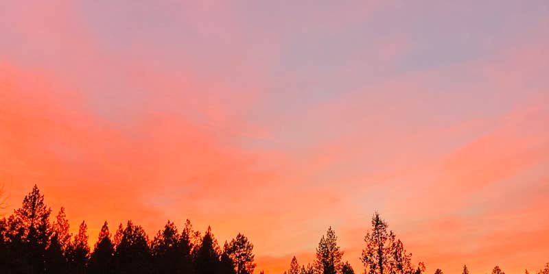
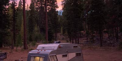
Within Ochoco National Forest, this US Forest Service campground operates as a dispersed camping area accessible by dirt forest roads. Campers can set up near the Mill Creek Wilderness boundary, where reviewers report manageable road conditions and westward views across the landscape. The terrain combines forested sections with open areas, and some sites provide access to water features.
Road conditions vary significantly across different areas of the forest, with some routes described as narrow and rough with limited pullout opportunities. The Big Summit Prairie area presents particular access challenges. For those seeking established facilities, Walton Lake sits just over a mile west. This location works best for self-sufficient campers comfortable with primitive conditions and variable road access.
Description
The Ochoco National Forest is located in Central Oregon, north and east of the City of Prineville. It encompasses 850,000 acres of rimrock, canyons, geologic oddities, dense pine forests, and high desert terrain as well as the North Fork of the Crooked River. At 155,000 acres, Crooked River Grasslands is one of the largest tracks of preserved grassland in the U.S. Visitors can find a variety of evidence of a ‘failed’ homestead attempts on the Grasslands: stone shelters, tools, cans, log cabins, barns and water troughs still remain. Please note that these items are protected by the Antiquities Act and must not be removed to preserve the historic integrity of the area.
RV Road Trip Guides


Map & DirectionsOchoco National Forest is located in Oregon near Mitchell
Directions
From Prineville, Oregon, take Highway 26 north for 16 miles. Turn righton Ochoco Ranger Station Road and go 9 miles to the Ranger Station, then turnleft, proceed across the small bridge and take a right into the Forest Campfee station. Continue on to the pavilion group site.
Coordinates
44.43335277 N
120.30819055 W
Connectivity
 T-MobileNo Coverage
- VerizonNo Coverage
 AT&TLTESome Coverage
Connectivity
- T-MobileNo Coverage
- VerizonNo Coverage
- AT&TLTESome Coverage
Access
- Drive-InPark next to your site
Site Types
- Tent Sites
- Group
Features
For Campers
- Reservable
- Alcohol
- Pets
- Fires
Drive Time
- 1 hr 29 min from Bend, OR
- 3 hrs 28 min from Albany, OR
- 3 hrs 29 min from Portland, OR
- 3 hrs 31 min from Kennewick, WA


