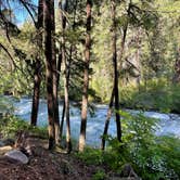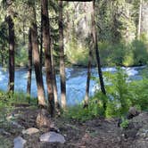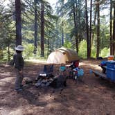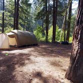
Reaching Candle Creek Campground requires navigating a dirt road with notable potholes and soft sand sections that can challenge low-clearance vehicles. Four-wheel drive helps, though passenger cars have made it through. The campground sits within Deschutes National Forest at the confluence of the Metolius River and Candle Creek, with sites split roughly between the two waterways. Nightly rates run $21 to $23, reservations are available, and the season runs mid-May through mid-September.
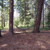
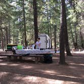
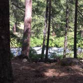
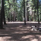
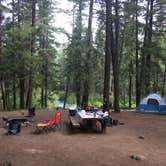
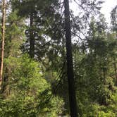
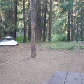
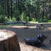
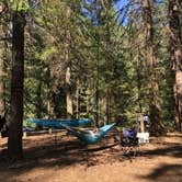
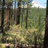
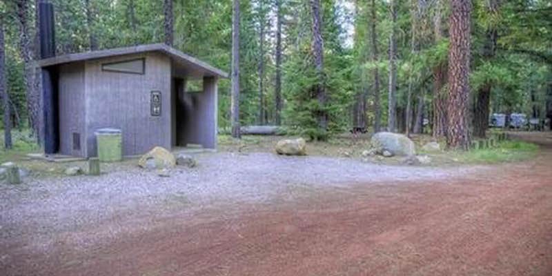
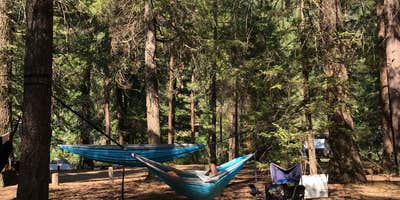
Sites here are genuinely large, with room for multiple tents, hammocks, and a full camp kitchen setup. Half face the Metolius, which runs fast and loud. The river noise is constant and carries through the night. Anglers and hikers have a trail running directly through the campground that follows the river. Tree cover is dense enough to limit stargazing but provides good shade during the day. There is no potable water on-site and only one pit toilet, so campers should plan accordingly.
Cell service is unreliable, and navigation apps have sent some visitors in the wrong direction. Asking a camp host at one of the campgrounds near Camp Sherman along the access road can help with directions. Gayle B. called it a "really great secluded campground, which is saying a lot for Central Oregon in the summer." The Metolius moves fast; reviewers flag it as genuinely hazardous for young children near the banks.
Campers wanting more developed facilities nearby can consider Lower Bridge Campground to the south as an alternative.
Description
Overview
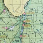
Candle Creek Campground sits at the confluence of the Metolius River and Candle Creek. It is at the end of the Metolius Valley and on the river where the rapids start. This unique location makes it a very popular spot among locals.
Recreation
Hiking and fishing top the list of recreational activities for visitors. For anglers, the spring-fed Metolius river offers a stunning setting for fly-fishing. The clear, cold water supports rainbow trout, whitefish, bull trout and kokanee salmon. For day hikers and backpackers, the area offers a wide variety of scenic terrain, ranging from riverside trails to routes in subalpine forests.
Facilities
Candle Creek Campground can accommodate RV, trailer or tent-campers however water and electric hookups are not available. Due to the gravel access road this facility is not the best for RVs or passenger cars although they can be accommodated. Drivers should go slow and use caution. This is a no water facility so campers will need to bring their own supply. All sites are equipped with a picnic table and campfire ring with grill and the campground has vault toilets available.
Natural Features
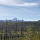
The headwaters of the adjacent Metolius River are at Metolius Springs at the base of Black Butte, a 3,076-foot cinder cone. The clear, cold river flows north from the springs through diverse coniferous forest and a landscape of volcanic activity. The area provides habitat for mammals such as mule deer, coyote and cougar. Migratory birds and native fish also call the area home.
Nearby Attractions
The Camp Sherman Fish Viewing Platform allows visitors the chance to view a variety of types of fish while the Metolius Research Natural Area gives bird watchers ample opportunities. Visit the Metolius Fish Hatchery or Wizard Falls Fish Hatchery display ponds to observe and feed different types of salmon and other fish. The Metolius-Windigo Trail, open to hikers, bikers and horses, is more than 100 miles in length and begins near the Metolius River headwaters west of the town of Sisters, Oregon. The trail was created in the 1980s primarily to serve long-distance horse riders seeking an alternative to the Pacific Crest Trail. Lava Lands Visitor Center in nearby Bend, Oregon, and the unique geological landscape of Newberry National Volcanic Monument draw visitors to the region as well. It is a great starting point for visitors to learn about the diverse landscape and history of the area through interpretive programs and exhibits. Visitors can also explore the Lava River Cave, located in the Newberry National Volcanic Monument. At 5,211 feet in length, the northwest section of the cave is the longest continuous lava tube in Oregon.
Charges & Cancellations
Once your reservation start date has begun, neither the Recreation.gov Contact Center nor the campground manager will be able to modify your reservation.
Fee Info
Once your reservation start date has begun, neither the Recreation.gov Contact Center nor the campground manager will be able to modify your reservation.
Warning 1 Alert is In Effect
There is 1 alert for this campground. Camp safely!
Warning 1 Alert is In Effect
There is 1 alert for this campground. Camp safely!
Fire restrictions are currently in effect that prohibit all fires. Generators with an approved spark arrestor and fires or stoves that use liquid petroleum (LPG) fuels are permitted.
RV Road Trip Guides

Map & DirectionsCandle Creek Campground is located in Oregon near Camp Sherman
 Public Campground
Directions
From Sisters, OR: Travel 12.4 miles northwest on Highway 20, then 12.3 miles north on Forest Road 12, and then 1.6 miles east on Forest Road 1200 980.
Address
P.O. BOX 249
Sisters, OR 97759
Coordinates
44.5768806 N
121.6285306 W
Connectivity
 T-MobileNo Coverage
- VerizonNo Coverage
- AT&TNo Coverage

Connectivity
- T-MobileNo Coverage
- VerizonNo Coverage
- AT&TNo Coverage
Access
- Drive-InPark next to your site
Site Types
- Tent Sites
- RV Sites
- Standard (Tent/RV)
Features
For Campers
- Trash
- Picnic Table
- Reservable
- Toilets
- Alcohol
- Pets
- Fires
Drive Time
- 1 hr 19 min from Bend, OR
- 2 hrs 19 min from Albany, OR
- 2 hrs 26 min from Corvallis, OR
- 2 hrs 41 min from Salem, OR