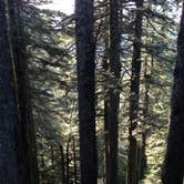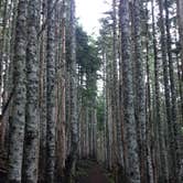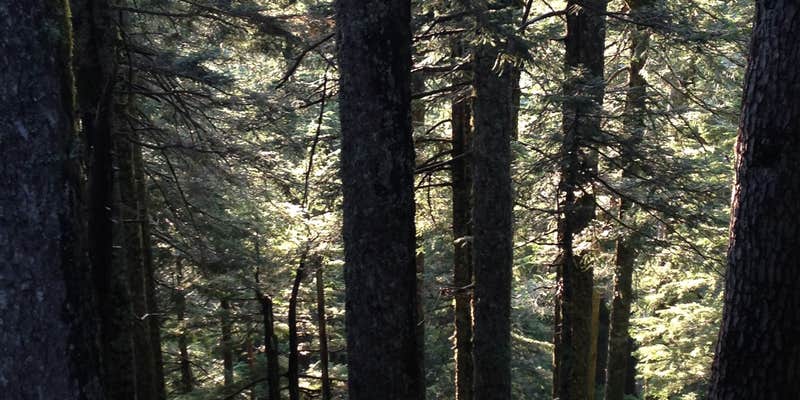
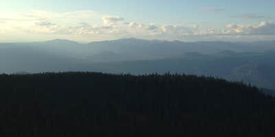
Rough road access is the first thing to plan around at Larch Mountain, a US Forest Service campground in Mt. Hood National Forest outside Bridal Veil, Oregon. Two sites serve the area: one near the trailhead, a second larger site just past the first descent. Crowd patterns here are unusual. Nearly all visitors to this popular Columbia Gorge hike day-trip out, leaving overnight campers with the site largely to themselves after dark. Hikers based here can explore campgrounds near Multnomah Falls or range further into campgrounds around Mt. Hood National Forest as a staging point for the broader area.
Description
Larch Mountain Road is maintained by Multnomah County and is closed annually at milepost 10 from Nov. through late May or early June. Use caution when driving; the road is narrow in places with limited visibility and is very popular with road cyclists.
RV Road Trip Guides
Map & DirectionsLarch Mountain is located in Oregon near Bridal Veil
 Public Campground
Directions
From Portland, OR:Travel east on Interstate 84 just past Troutdale then take exit 18, Lewis and Clark State Park. At the end of the off-ramp, turn left (south) onto the Historic Columbia River Highway and follow the highway through Corbett. Two miles east of Corbett, the road forks. Take a right onto Larch Mountain Road and follow the road 14 miles to the picnic area and trailhead.
Coordinates
45.52944 N
122.08891 W
Connectivity
 T-MobileNo Coverage
 Verizon5GGood Coverage
 AT&TLTESome Coverage
Connectivity
- T-MobileNo Coverage
- Verizon5GGood Coverage
- AT&TLTESome Coverage
Access
Features
Drive Time
- 1 hr 6 min from Portland, OR
- 1 hr 45 min from Longview, WA
- 1 hr 52 min from Salem, OR
- 2 hrs 11 min from Albany, OR