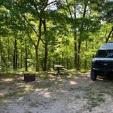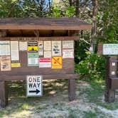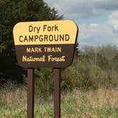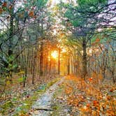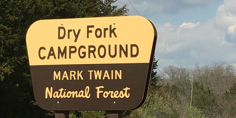

Mark Twain National Forest includes Dry Fork Recreation Area, a drive-in campground outside New Bloomfield, Missouri with eight sites set among forested terrain near a creek. This is primarily an equestrian facility, and non-horse campers are welcome but are encouraged to check Pine Ridge Recreation Area first, as that campground a few miles down the road tends to fill before Dry Fork does. Sites accommodate RVs up to 30 feet and include picnic tables, drinking water, and toilets, with ADA accessibility noted across the facility.
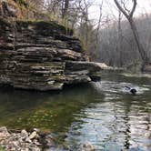
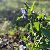
The surrounding landscape draws campers who spend time on foot. Wooded sections mix with open fields, and the creek running through the area gives visitors a place to explore along the water. Deer and turkey sightings are common, and spring visits bring wildflowers and mushrooms worth searching out. Curtis M. describes it as a "great primitive campground with old homestead foundation along the trail," which gives some sense of the historical texture the area carries.
A few practical notes matter here. Ticks have been reported on the overgrown trail, so checking gear, clothing, and pets after any hike is worth building into the routine. Cell service is unreliable despite being listed as an amenity, with at least one recent visitor reporting no signal during their stay. Trash has occasionally been left by previous campers, though the sites themselves are generally in reasonable shape. Dry Fork works best as an overnight stop for backpackers, equestrians, and campers passing through who want a low-key forest site with basic amenities and room to roam.
Description
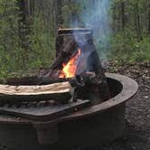
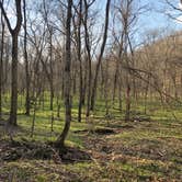
Dry Fork Recreation Area, a campground and picnic area located at the equestrian trailhead of the 36-mile Cedar Creek Trail. This area, located in central Missouri near Fulton serves recreationists with or without horses. This campground is situated in a quiet mostly oak/cedar forest. It is comprised of 8 single primitive campsites that can accommodate RVs up to 30 feet in length, each with table, fire ring, and lantern post. Other amenities include drinking water, vault toilets, and hitching rails. There is a picnic area across the road with picnic tables that can accommodate small groups. There are currently no camping fees, but donations are encouraged. A printable brochure is available.
RV Road Trip Guides

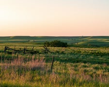
Map & DirectionsDry Fork Recreation Area is located in Missouri near New Bloomfield
 Public Campground
Directions
From Fulton, MO take 54 south to Route H; west on Route H to Route J; turn north on J to County road 356; west on County Road 356 to County Road 361; turn south for 1 mile.
Coordinates
38.80113263 N
92.11757636 W
Connectivity
 T-Mobile5GGood Coverage
 VerizonLTESome Coverage
 AT&T5GExcellent Coverage
Connectivity
- T-Mobile5GGood Coverage
- VerizonLTESome Coverage
- AT&T5GExcellent Coverage
Access
- Drive-InPark next to your site
Site Types
- Tent Sites
- RV Sites
- Equestrian
Features
For Campers
- ADA Access
- Trash
- Picnic Table
- Phone Service
- Drinking Water
- Toilets
- Alcohol
- Pets
- Fires
For Vehicles
- Big Rig Friendly
Drive Time
- 23 min from Columbia, MO
- 23 min from Jefferson City, MO
- 1 hr 47 min from St. Louis, MO
- 2 hrs 26 min from Springfield, MO