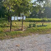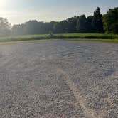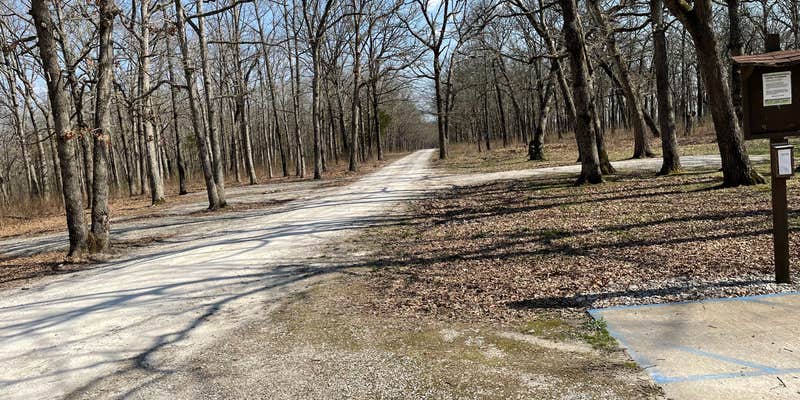
This free conservation area campground sits at the end of a 1.5-mile gravel road that descends through wooded hills about six miles from I-70. Campers access two distinct camping zones: an upper area with seven designated sites, fire rings, and a vault toilet, plus a lower meadow camping area near Clear Creek with a large communal fire pit but no facilities.
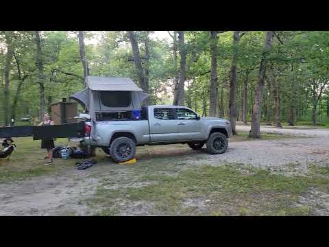
The upper camping area provides the main amenities, with most sites accommodating tents and smaller RVs, though only one site offers enough length for larger trailers. Sites cluster closely together under tree cover, which limits solar panel efficiency but provides shade during hot summer days. Abby M. notes "Very quiet stay and enjoyed walks down the gravel path with the pup" during her four-night visit when only three campers occupied the area on the busiest night.
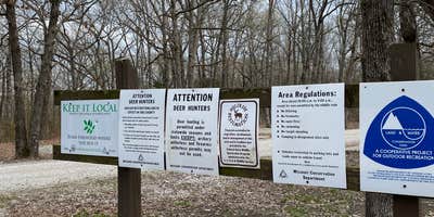
The lower meadow area attracts campers seeking creek access and trail proximity. Clear Creek runs alongside this zone, offering opportunities to explore upstream toward rock overhangs or follow the Glades Trail system through scattered ponds and glade formations. Hunters frequent the area during season, and mushroom foragers commonly visit the Turkey Ridge road section. Cell service varies by carrier, with AT&T users reporting 2-3 bars and Verizon providing streaming-capable speeds.
Campers should pack insect repellent, as tick populations can be heavy during warmer months. The area maintains a reputation for staying uncrowded even during holiday weekends, though randy confirms "Near the highway but we couldn't hear the traffic" despite the proximity to the interstate. No water or trash services are available, requiring complete pack-out camping practices.
For campers wanting full hookups, Graham Cave State Park Campground provides developed facilities a few miles northwest.
Description
Visit the Missouri Department of Conservation's website for more information.
RV Road Trip Guides


Map & DirectionsDanville Conservation Area is located in Missouri near New Florence
Directions
From I-70 Danville exit 170, take the south outer road east 2 miles, then Route RB south 2 miles to the entrance.
Coordinates
38.87480665 N
91.51822682 W
Connectivity
 T-MobileNo CoverageVerified by 2 usersLast on 8/1/26
 VerizonLTESome CoverageVerified by 6 usersLast on 12/11/25
 AT&T5GGood CoverageVerified by 2 usersLast on 8/1/26
Connectivity
- T-MobileNo CoverageVerified by 2 usersLast on 8/1/26
- VerizonLTESome CoverageVerified by 6 usersLast on 12/11/25
- AT&T5GGood CoverageVerified by 2 usersLast on 8/1/26
Access
- Drive-InPark next to your site
Site Types
- Tent Sites
- RV Sites
- Standard (Tent/RV)
- Group
Features
For Campers
- Toilets
- Pets
- Fires
FREE established camping
Enjoy camping on government land. Limited or no services at this camping area.
PERMIT might be REQUIRED
We curate permit requirements across the US for our PRO members. Try PRO to see if Danville Conservation Area needs a permit.
Drive Time
- 44 min from Columbia, MO
- 54 min from Jefferson City, MO
- 1 hr 13 min from St. Louis, MO
- 2 hrs 26 min from Springfield, IL