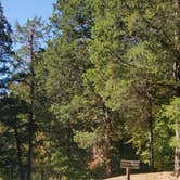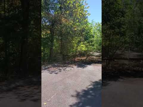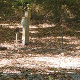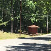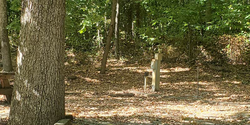
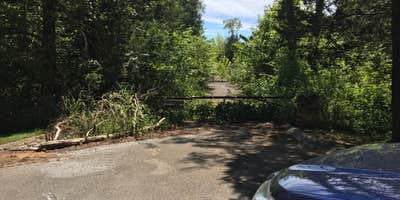
Managed by the Army Corps of Engineers, Devils Elbow Recreation Area operates primarily as an active boat launch on Lake Barkley rather than a traditional campground. The main camping facilities closed permanently, leaving only the original gatehouse structure and two primitive sites near the entrance that require pack-in, pack-out camping.
Access follows Route 68 to Route 164, then continues straight onto Old Linton Canton Road. The boat ramp draws heavy traffic from boaters launching onto Lake Barkley. Remnants of the former campground loop remain visible but are no longer maintained for camping use. The area prohibits pets and geocaching opportunities exist throughout the abandoned sections. Campers seeking established sites with hookups should consider places to camp around Cadiz or nearby Bacon Creek for full amenities.
Description
Campers have noted that currently, this is either closed or strictly a day use area.
Map & DirectionsDevils Elbow Recreation Area is located in Kentucky near Land Between the Lakes National Recreation Area
 Public Campground
Coordinates
36.79432072 N
87.96409097 W
Connectivity
 T-MobileNo CoverageVerified by 1 userLast on 9/22/26
 VerizonLTESome CoverageVerified by 2 usersLast on 9/22/26
 AT&T5GGood Coverage
Connectivity
- T-MobileNo CoverageVerified by 1 userLast on 9/22/26
- VerizonLTESome CoverageVerified by 2 usersLast on 9/22/26
- AT&T5GGood Coverage
Access
Site Types
- Tent Sites
- RV Sites
Features
For Campers
- Electric Hookups
Drive Time
- 49 min from Clarksville, TN
- 49 min from Paducah, KY
- 1 hr 17 min from Nashville, TN
- 1 hr 42 min from Owensboro, KY