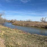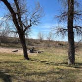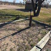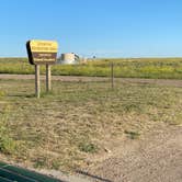
Fishing draws most visitors to Cimarron Campground, a US Forest Service site set within Cimarron National Grassland on the Colorado-Kansas border. Fish are active near the water adjacent to campsites, and wildlife, including coyotes, moves through the area at night. Sites are first-come, first-served, with tables, fire rings, and bear boxes at each one. Water is available throughout the campground, and vault toilets and trash service are on-site. No pets are permitted.
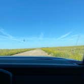
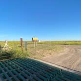
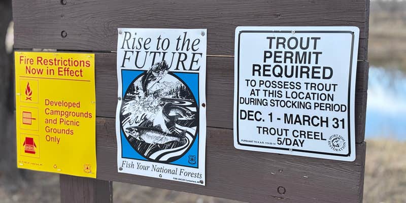
The access road includes roughly four miles of washboard gravel after the pavement ends, so arriving before dark is advisable. Bring your own firewood, as none is sold on-site, and check current fire restrictions on the USDA site before your trip.
Description
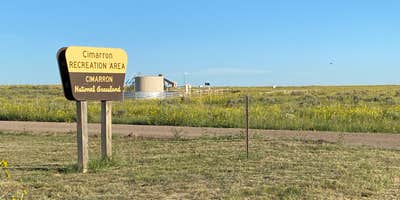
The Cimarron Recreation Area includes the Cimarron Campground, Cimarron Picnic Area, Cimarron Group Site and__Cimarron Ponds. It also provides access to the Turkey Trail. See individual listings for specific information about these sites.
RV Road Trip Guides

Map & DirectionsCimarron Campground is located in Colorado near Richfield
 Public Campground
Directions
From Elkhart, Kansas, take Highway 27 north approximately 7 miles. Turn east onto FSR 700.2 and continue for 4 miles. Recreation Area is located on the north side of the road.
Coordinates
37.135846 N
101.822662 W
Connectivity
 T-MobileLTESome CoverageVerified by 2 usersLast on 9/12/26
- VerizonLTESome CoverageVerified by 2 usersLast on 9/12/26
 AT&TNo Coverage
Connectivity
- T-MobileLTESome CoverageVerified by 2 usersLast on 9/12/26
- VerizonLTESome CoverageVerified by 2 usersLast on 9/12/26
- AT&TNo Coverage
Access
- Drive-InPark next to your site
Site Types
- Tent Sites
- RV Sites
- Standard (Tent/RV)
- Group
Features
For Campers
- ADA Access
- Trash
- Phone Service
- Drinking Water
- Toilets
- Alcohol
Drive Time
- 2 hrs 28 min from Amarillo, TX
- 3 hrs 43 min from Pueblo, CO
- 4 hrs 13 min from Enid, OK
- 4 hrs 21 min from Colorado Springs, CO