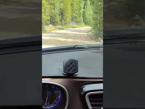

Rainbow Lakes Campground operates as a first-come, first-served facility with sites costing $5 per night, making early arrival essential during peak season. The campground fills by 10 AM on busy weekends, according to multiple campers who recommend arriving Thursday morning for weekend stays. The rough dirt access road requires careful navigation, with several reviewers noting potholes that can damage low-clearance vehicles.
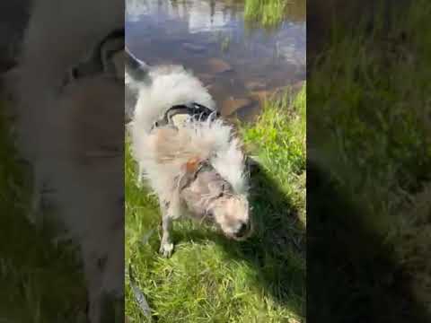
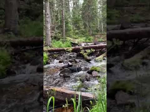
Sites spread throughout dense forest along a creek, with some positioned directly on the water. Jennifer V. found "campsites are spread out with tons of tree coverage" and noted options that "backup to a river." The vault toilets receive consistent praise for cleanliness, though the campground lacks potable water. A camp host provides firewood for purchase and maintains the facility.
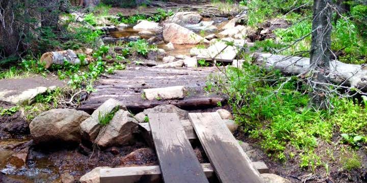
The Rainbow Lakes Trail begins directly from the campground, offering a one-mile hike to alpine lakes at 10,000 feet elevation. Multiple reviewers report wildlife sightings including moose, black bears, and deer both on trails and within the campground. Fishing opportunities exist in the nearby creek and lakes, though success varies. The elevation creates cold nighttime temperatures even in summer months.
Access challenges include the bumpy approach road that nonetheless accommodates standard vehicles when driven slowly. No pets are allowed throughout the campground. Cell service remains limited or absent for most carriers. The campground operates June through September, with availability becoming scarce during July Fourth weekend and other peak periods. "While there we hiked the mile trail to the Rainbow lakes," reports Jeff K., who found the campground "mostly empty" during late August visits.
The combination of creek access, immediate trail connections, and budget pricing attracts campers willing to navigate rough roads for a forest setting less than 30 minutes from Nederland.
Description
This campground is open mid-June through mid-September and located at 10000 feet at the end of the Rainbow Lakes Road and adjacent to the Indian Peaks Wilderness. This road is closed__for winter and typically reopens__in June. Before traveling to this area, check the Road Status Table.There are 18 first-come, first-served campsites that__accommodate tents (on__14X16 foot tent pads) and small__trailers. A maximum of eight people are allowed per site.__Campsite 8 is oversized and accomodates up to 15 people.__Campsites 15 - 18 are walk in sites for tents. Picnic tables, fire grates,__vault toilets and trash services are provided at each campsite. 14-day stay limit. This campground does not feature__drinking water, electricity, hook-ups, dump stations, nor showers. Please remember to bring water.Rainbow Lakes Campground is normally full for the weekend by Friday morning so plan to arrive early. No reservations are accepted.Click here for a map of this campground.
RV Road Trip Guides


Map & DirectionsRainbow Lakes Campground is located in Colorado near Nederland
Directions
From Nederland, head\_\_north on Colorado Highway 72 for approximately seven miles. Look for the University of Colorado Mountain Research Station sign and turn west onto National Forest System Road 298. This route is gated during the winter. This road is a five-mile, native-surfaced road. A high clearance vehicle is recommended.
Coordinates
40.009107 N
105.568922 W
Connectivity
 T-MobileNo Coverage
- VerizonNo CoverageVerified by 2 usersLast on 7/7/26
- AT&TNo Coverage
Connectivity
- T-MobileNo Coverage
- VerizonNo CoverageVerified by 2 usersLast on 7/7/26
- AT&TNo Coverage
Access
- Drive-InPark next to your site
- Walk-InPark in a lot, walk to your site.
- Hike-InBackcountry sites.
Site Types
- Tent Sites
- RV Sites
- Standard (Tent/RV)
- Group
Features
For Campers
- ADA Access
- Trash
- Firewood Available
- Phone Service
- Drinking Water
- Toilets
- Alcohol
For Vehicles
- Big Rig Friendly
Drive Time
- 1 hr 3 min from Boulder, CO
- 1 hr 28 min from Denver, CO
- 1 hr 46 min from Fort Collins, CO
- 1 hr 47 min from Greeley, CO