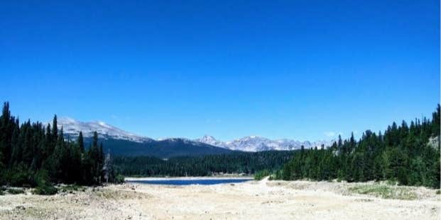
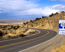
Beaver Creek Trailhead in Colorado offers a landscape of forests and open spaces. Temperatures range from lows of 20°F in winter to highs of 80°F in summer. Nearby, visitors can explore the Medicine Bow-Routt National Forests and the scenic Steamboat Lake State Park.
Description
Trailhead parking is ample and ideal for parking horse trailers and unloading horses. The trail provides a good access to the Mt Zirkel Wilderness, great for groups with horses who want to get away from other more heavily used trails. Campsites are numerous, especially near Stump Park. This trail lies within the Mt Zirkel Wilderness. Please refer to the Wilderness Regulations. The wilderness is closed to motorized and mechanized vehicles. No developed facilities. Setting is managed forest area. Timberline is at approximately 10,500 feet elevation. This trailhead is managed by the Parks Ranger District.
RV Road Trip Guides
Location
Public CampgroundBeaver Creek Trailhead is located in Colorado
Directions
Directions from Walden: Head north on Hwy 125 for 9 miles to Cowdrey. Turn left at Coudrey onto County Road 6W traveling west for 19 miles passing Pearl. Turn left on County Road 6B. This road will turn into Forest Road 80. Drive approximately 2 1/2 miles to Forest Road 681. Turn left and follow Forest Road 681 to the Beaver Creek Trail head following the signs.
Coordinates
40.94640652 N
106.65293255 W
Connectivity
- T-MobileNo Coverage
- VerizonNo Coverage
- AT&TNo Coverage
Connectivity
- T-MobileNo Coverage
- VerizonNo Coverage
- AT&TNo Coverage
Access
- Drive-InPark next to your site
- Walk-InPark in a lot, walk to your site.
Site Types
- Tent Sites
Features
For Campers
- Alcohol
Drive Time
- 2 hrs 20 min from Cheyenne, WY
- 2 hrs 40 min from Fort Collins, CO
- 3 hrs 5 min from Greeley, CO
- 3 hrs 28 min from Boulder, CO


