Public Campground
Toiyabe National Forest Silver Creek Campground
Toiyabe National Forest Silver Creek Campground is located near Markleeville, CA, surrounded by forested terrain and mountain landscapes. Temperatures can range from lows in the 30s Fahrenheit in spring and fall to highs in the 80s during summer. Nearby attractions include Grover Hot Springs State Park and the scenic views of Monitor Pass.
Description
Overview
Silver Creek Campground is located near the town of Markleeville on scenic Highway 4. Visitors enjoy fishing various waterways in the area and exploring the nearby Pacific Crest Trail.
Recreation
Anglers enjoy fishing the nearby East Fork Carson River, as well as other creeks in the vicinity. The Pacific Crest Trail can be accessed just 3 miles west of the site.
Facilities
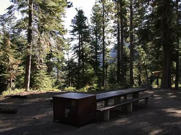
This campground straddles Highway 4, creating two separate loops containing several single-family sites with picnic tables, food storage lockers and campfire rings with grills. Vault toilets, No Water Available, Dry Camping only and trash collection are provided. Firewood is available for purchase from the host.
Natural Features
The campground is situated in a beautiful, shady fir and pine forest on the mountainside just above Noble Creek. The elevation is 7,100 feet.
Location
Toiyabe National Forest Silver Creek Campground is located in California
Directions
Located 11.7 miles south of Markleeville, California on State Highway 4, east of Ebbetts Pass.
Address
P.O. BOX 104
Markleeville, CA 96120
Coordinates
38.5889722 N
119.7871667 W
Connectivity
- T-MobileNo Coverage
- VerizonNo Coverage
- AT&TNo Coverage
Connectivity
- T-MobileNo Coverage
- VerizonNo Coverage
- AT&TNo Coverage
Access
Site Types
- Tent Sites
- RV Sites
Features
For Campers
- Reservable
- Fires
For Vehicles
- Pull-Through Sites
Drive Time
- 57 min from Carson City, NV
- 1 hr 25 min from Reno, NV
- 2 hrs 17 min from Sacramento, CA
- 2 hrs 43 min from Stockton, CA


