The dirt access road to this small National Forest campground requires careful navigation, as campers report rough conditions that demand attention from drivers. Located within Humboldt-Toiyabe National Forest just outside the mountain town of Markleeville, the facility operates seasonally from late April through early September at $18 per night.
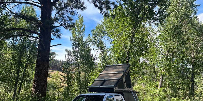
This compact roadside campground accommodates RVs up to 24 feet with full hookups including electric, water, and sewer connections. Each site includes water access, picnic tables, fire rings, and bear lockers. Pit toilets serve the campground, though some visitors note maintenance could be more consistent. The nearby creek runs directly behind several sites, offering fishing opportunities for small rainbow trout in the deeper pools.
Therese L. found "good fishing in the deeper holes" and caught five rainbows during her stay. The camp host sells firewood bundles, and the location provides convenient access to Markleeville's general store for supplies. However, the campground functions primarily as an overnight stop rather than a destination, with limited hiking access due to surrounding private ranch land.
Campers seeking more developed facilities might consider Carson River Resort, which offers additional amenities just over a mile away.
Description
Temporarily Closed The Markleeville Campground on the Carson Ranger District near Markleeville, CA is temporally closed, while area is being assessed for flood damage.
Check Status here: https://www.fs.usda.gov/alerts/htnf/alerts-notices/?aid=74769
Located on Markleeville Creek, in the shade of Jeffrey pines and cottonwood trees. Generally open late April through early September.
RV Road Trip Guides


Map & DirectionsMarkleeville Campground is located in California near Markleeville
Directions
From Carson City or Minden, Nevada: 1. Take Highway 88 approximately 14 miles to the junction with Highway 4/89 at Woodfords, California. 2. Turn left on Highway 4/89, proceed for approximately six miles to the Markleeville Campground entrance on the north side of highway (approximately 1/2 mile past the small town of Markleeville).
Coordinates
38.69889249 N
119.77082275 W
Connectivity
 T-MobileNo Coverage
 VerizonLTEGood CoverageVerified by 29 usersLast on 8/1/26
- AT&TNo Coverage
Connectivity
- T-MobileNo Coverage
- VerizonLTEGood CoverageVerified by 29 usersLast on 8/1/26
- AT&TNo Coverage
Access
- Drive-InPark next to your site
Site Types
- Tent Sites
- Standard (Tent/RV)
Features
For Campers
- Trash
- Picnic Table
- Firewood Available
- Phone Service
- Drinking Water
- Electric Hookups
- Toilets
- Alcohol
- Pets
- Fires
For Vehicles
- Sewer Hookups
- Water Hookups
Drive Time
- 40 min from Carson City, NV
- 1 hr 7 min from Reno, NV
- 2 hrs from Sacramento, CA
- 2 hrs 26 min from Stockton, CA


