
Highland Lakes Campground sits at nearly 9,000 feet elevation, accessible only by a seven-mile dirt road from Highway 4 that requires crossing a shallow creek. The drive takes time even in a compact car, but campers report the rough access keeps crowds manageable compared to lower-elevation sites.
Two distinct camping areas provide different experiences. Sites near the road offer flat, open spaces with direct lake access, while elevated spots tucked among conifers provide more privacy between the trees. Each site includes a fire pit with grill grate and picnic table. A hand-pump well supplies drinking water when functioning, though campers should bring backup supplies. One vault toilet serves the campground, with pack-in, pack-out waste policies in effect.
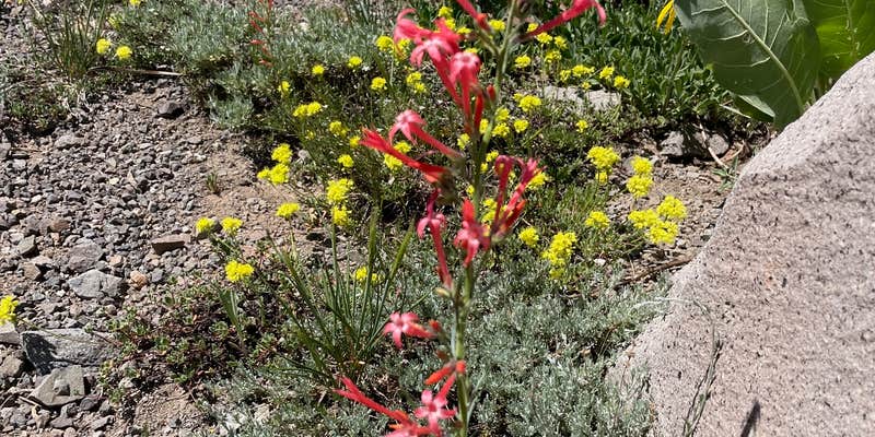
The high elevation brings significant temperature swings. Ray B. found it "20 degrees cooler" than the valley during heat waves, but nighttime temperatures can drop dramatically even in summer. Multiple hiking trails radiate from the area, including the challenging Folger Peak route with loose shale sections and flatter equestrian trails offering easier access to alpine scenery.
Cattle graze in the valley during summer months, their cowbells providing constant background sound. Fishing opportunities exist in the cold mountain lakes, with fly fishing appearing most productive. For campers seeking lower elevation alternatives, campgrounds near Bear Valley provide easier access with different terrain.
Description
The lakes are set in a spectacular high alpine valley, close to the top of Ebbetts Pass at an elevation of 8,600 feet. These two lakes are unique in that they are headwaters for two different watersheds: the eastern lake flows into the Mokelumne River drainage, while the western lake flows into the Stanislaus River drainage. Maximum boat speed on both lakes is 5 mph, and gas powered motors are discouraged. Highland Lakes visitors enjoy camping, hiking and horseback riding.
RV Road Trip Guides


Map & DirectionsHighland Lakes Campground is located in California near Bear Valley
Directions
From Arnold, CA, take State Route 4 east 40.8 miles to Highland Lakes sign. Turn right after sign and go 4.9 miles to "Y" intersection. Bear right and go 0.7 miles to campground. Note: After Lake Alpine, State Route 4 becomes a narrow road with a 24% grade and lots of curves. Not recommended for vehicles over 25' in length. Last 4.7 miles is on rough, rocky dirt road.
Coordinates
38.48900024 N
119.807 W
Connectivity
 T-MobileNo Coverage
- VerizonNo Coverage
- AT&TNo Coverage
Connectivity
- T-MobileNo Coverage
- VerizonNo Coverage
- AT&TNo Coverage
Access
- Drive-InPark next to your site
- Hike-InBackcountry sites.
- Boat-InSites accessible by watercraft.
Site Types
- Tent Sites
- RV Sites
- Standard (Tent/RV)
- Group
- Tent Cabin
- Equestrian
Features
For Campers
- ADA Access
- Picnic Table
- Drinking Water
- Toilets
- Alcohol
- Pets
- Fires
Drive Time
- 1 hr 26 min from Carson City, NV
- 1 hr 54 min from Reno, NV
- 2 hrs 29 min from Stockton, CA
- 2 hrs 46 min from Sacramento, CA


