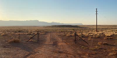
The access gate sits at mile marker 545 on Highway 89A, marking the start of a rough dirt road that leads to dispersed camping sites along the canyon rim. Campers navigate through an unlocked gate and face a choice at the road fork—left toward more dramatic canyon-edge sites or right toward easier access and an old water tower. The left fork challenges vehicles with rocky sections that require slow navigation, though reviewers report success with everything from sedans to 32-foot Class C motorhomes.
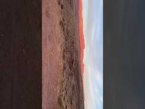
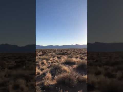
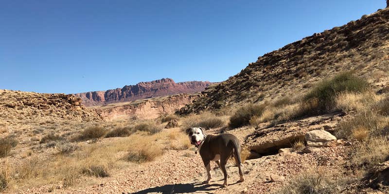
Sites spread across the mesa top offer expansive views toward the Vermillion Cliffs and Colorado River below. Dan M. notes camping "within walking distance of the bluff overlooking the Colorado river," while the sparse vegetation and elevated position create consistent wind exposure. California Condors occasionally ride thermals along the canyon edges, part of a recovery program that brought the species back from near-extinction. The area also sits along the historic Mormon Honeymoon Trail.
Campers find established fire rings at several sites, with the endangered Brady Pincushion Cactus requiring careful foot and vehicle placement. The rocky terrain can challenge tent setup, but multiple reviewers mention level spots suitable for larger rigs near the main road. Cell service varies by carrier, with AT&T providing the most reliable coverage according to multiple reports. Wind advisories deserve attention—one reviewer lost a solar panel to strong gusts.
The nearest services cluster around Lees Ferry, roughly 4 miles away, where jennifer M. confirms "you can fill a water tank at Lees Ferry campground or the nearby Chevron. Both have potable water." Additional dispersed options exist at BLM Dispersed near Marble Canyon — US 89A for those seeking alternatives. Daylight arrival helps with navigation, as the rocky road sections prove more challenging in darkness.
This location suits campers comfortable with primitive conditions who prioritize dramatic scenery and solitude over convenience.
RV Road Trip Guides


Map & DirectionsSoap Creek is located in Arizona near Marble Canyon
Directions
US Hwy 89A Marble Canyon, AZ
Coordinates
36.75260081 N
111.71760018 W
Connectivity
 T-MobileNo CoverageVerified by 2 usersLast on 3/26/26
 VerizonLTEGood CoverageVerified by 14 usersLast on 8/1/26
 AT&TLTESome CoverageVerified by 5 usersLast on 8/1/26
Connectivity
- T-MobileNo CoverageVerified by 2 usersLast on 3/26/26
- VerizonLTEGood CoverageVerified by 14 usersLast on 8/1/26
- AT&TLTESome CoverageVerified by 5 usersLast on 8/1/26
Access
- Drive-InPark next to your site
- Walk-InPark in a lot, walk to your site.
Site Types
- Dispersed
Features
For Campers
- ADA Access
- Phone Service
- Alcohol
- Pets
- Fires
For Vehicles
- Pull-Through Sites
- Big Rig Friendly
DISPERSED CAMPING
Enjoy dispersed camping on government land and leave no trace. Pack in and pack out. No (or limited) services at this camping area. Permit may be required.
PERMIT might be REQUIRED
We curate permit requirements across the US for our PRO members. Try PRO to see if Soap Creek - Dispersed Camping needs a permit.
Drive Time
- 1 hr 57 min from Flagstaff, AZ
- 2 hrs 13 min from St. George, UT
- 3 hrs 10 min from Prescott Valley, AZ
- 4 hrs 10 min from Farmington, NM