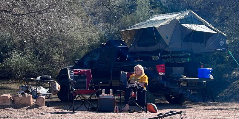
Within Tonto National Forest, Rattlesnake Cove operates as a boat-in and walk-in campground managed by the US Forest Service. The site provides clean restrooms, picnic tables, and ramadas for group activities, though campers must bring their own drinking water as none is available on-site. A handicap-accessible ramp leads to a designated swimming area where motorized boats cannot enter.
The campground requires a Tonto National Forest use permit placard, available at local merchants or ranger stations. Shoreline fishing opportunities exist along the northwest shore, where campers can spread out nearly a mile from the main facilities. For additional options, consider pet-friendly campgrounds near Tonto National Forest since pets are welcome here year-round.
Description
Rattlesnake Cove provides direct access to Bartlett Reservoir. Rattlesnake Cove has a sloping beach suitable for use in many water recreation activities. This area boasts of beautiful vistas of the desert with mountains in the background. The beach at Rattlesnake Cove is generally gently sloping with gradual change in water depths. Enjoy this primitive area with your friends and family by bringing your own grill and gear.
RV Road Trip Guides


Map & DirectionsTonto National Forest Rattlesnake Cove is located in Arizona near Rio Verde
Directions
This site is 21 miles east of Carefree. From Carefree, take Cave Creek Road 7 miles, turn right on Bartlett Dam Road and continue for 13 miles then turn left on FR 459. Travel ½ mile on FR 459 and turn right into the site.
Coordinates
33.84714894 N
111.63650897 W
Connectivity
 T-MobileLTESome CoverageVerified by 3 usersLast on 7/25/26
- VerizonLTESome CoverageVerified by 3 usersLast on 7/25/26
- AT&TLTESome CoverageVerified by 3 usersLast on 11/19/25
Connectivity
- T-MobileLTESome CoverageVerified by 3 usersLast on 7/25/26
- VerizonLTESome CoverageVerified by 3 usersLast on 7/25/26
- AT&TLTESome CoverageVerified by 3 usersLast on 11/19/25
Access
- Walk-InPark in a lot, walk to your site.
- Boat-InSites accessible by watercraft.
Site Types
- Tent Sites
- RV Sites
- Standard (Tent/RV)
- Dispersed
- Group
Features
For Campers
- ADA Access
- Trash
- Picnic Table
- Phone Service
- Toilets
- Alcohol
- Pets
- Fires
For Vehicles
- Big Rig Friendly
Drive Time
- 1 hr 5 min from Phoenix, AZ
- 1 hr 51 min from Prescott Valley, AZ
- 2 hrs 34 min from Flagstaff, AZ
- 2 hrs 40 min from Tucson, AZ

