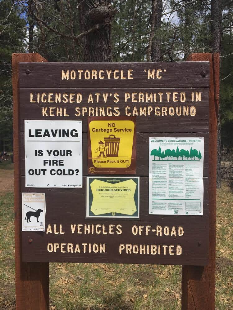
Public Campground
Kehl Springs Campground
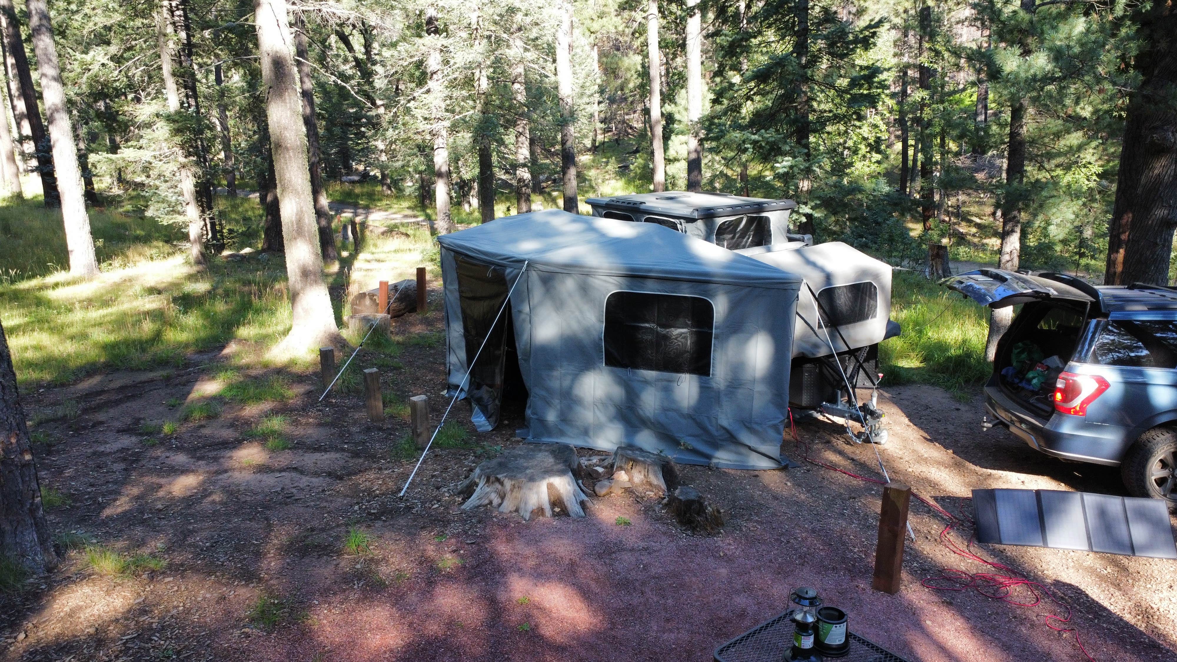
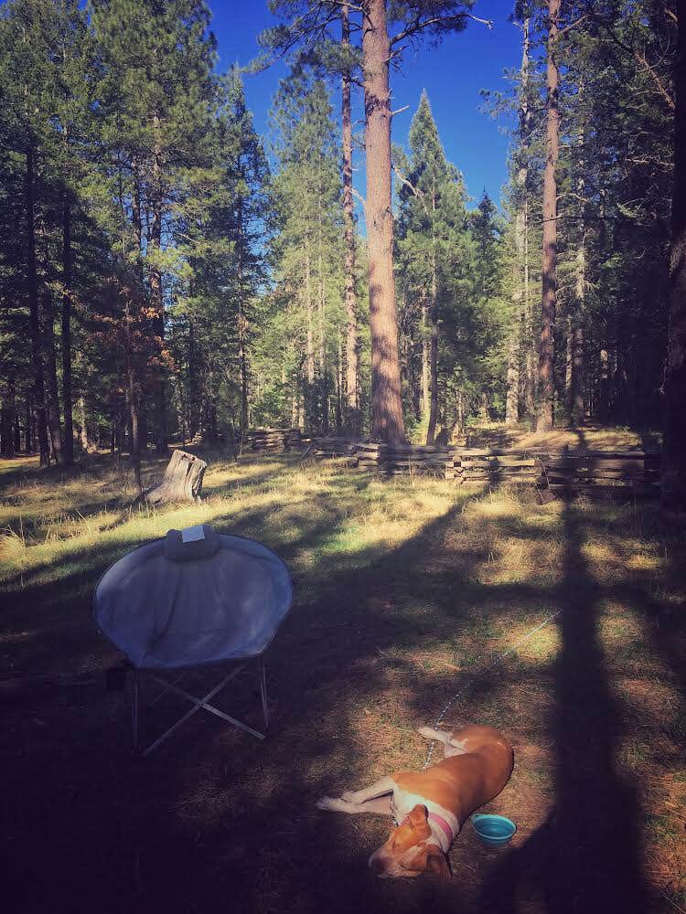
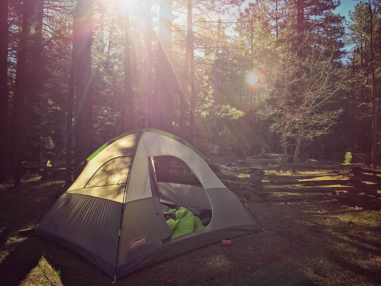
Kehl Springs Campground, near Payson, Arizona, is a peaceful spot tucked away in the Coconino National Forest. This place is perfect for those who want to escape the hustle and bustle, with well-treed sites and grassy fields that provide a cool retreat during the hot summer months.
The campground offers clean facilities, including bathrooms that visitors rave about. Many campers appreciate the friendly camp host, who is always ready to share local knowledge and tips. As one reviewer noted, “The camp host was friendly, respectful, and knowledgeable,” which adds a nice touch to the experience.
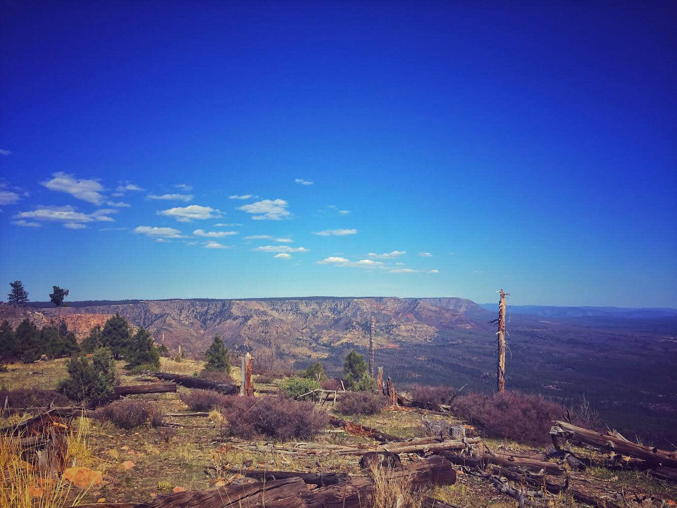
For outdoor lovers, there are great hiking trails nearby, and you’re just a short drive from scenic views overlooking the Mogollon Rim. While some sites are close to the road, the overall atmosphere remains tranquil, making it a great base for exploring the beautiful forest surroundings. Just remember to stock up on water, as there are no hookups or drinking water available on-site.
Whether you're pitching a tent or parking your RV, Kehl Springs Campground offers a solid camping experience with a friendly vibe and access to nature's beauty.
Description
Kehl Springs Camp is located in a stand of ponderosa pines right at the brink of one of Arizona's most awesome geologic features, the Mogollon Rim. Just a short distance from these shady campsites the rim brings the Colorado Plateau to an endwith a precipitous drop-off that plunges two thousand feet from forested highland to Sonoran desert. From this high perspective you can enjoy spectacular views of Four Peaks, the Sierra Anchas, and the Mazatzals. At night, the lights of Payson wink up from 2,000 feet down and 15 miles away. Other recreation activities to enjoy nearby include hiking, mountain biking, fishing and boating. The General Crook Historic Trail and the Rim Country Scenic Drive pass right by the campground.
Fee Info
Mogollon Rim District - 928-477-2255
Location
Kehl Springs Campground is located in Arizona
Directions
Location : 65 miles southeast of Flagstaff. Elevation is 7,500. GPS (Map): 34°26'08.5"N 111°19'01.5"W Access : Drive 50 miles south of Flagstaff on FH3 to Clints Well, then 9 miles southwest on AZ 87 to FR 300 (the General Crook Trail). Turn left (east) on FR300 and drive 6 miles to the campground.
Coordinates
34.43600058 N
111.31700054 W
Connectivity
- T-MobileNo Coverage
- VerizonLTESome Coverage
- AT&TNo Coverage
Connectivity
- T-MobileNo Coverage
- VerizonLTESome Coverage
- AT&TNo Coverage
Access
- Drive-InPark next to your site
- Walk-InPark in a lot, walk to your site.
Site Types
- Tent Sites
- RV Sites
- Standard (Tent/RV)
- Group
Features
For Campers
- ADA Access
- Trash
- Picnic Table
- Toilets
- Alcohol
- Pets
- Fires
Drive Time
- 1 hr 21 min from Prescott Valley, AZ
- 1 hr 24 min from Flagstaff, AZ
- 1 hr 56 min from Phoenix, AZ
- 3 hrs 37 min from Tucson, AZ

